
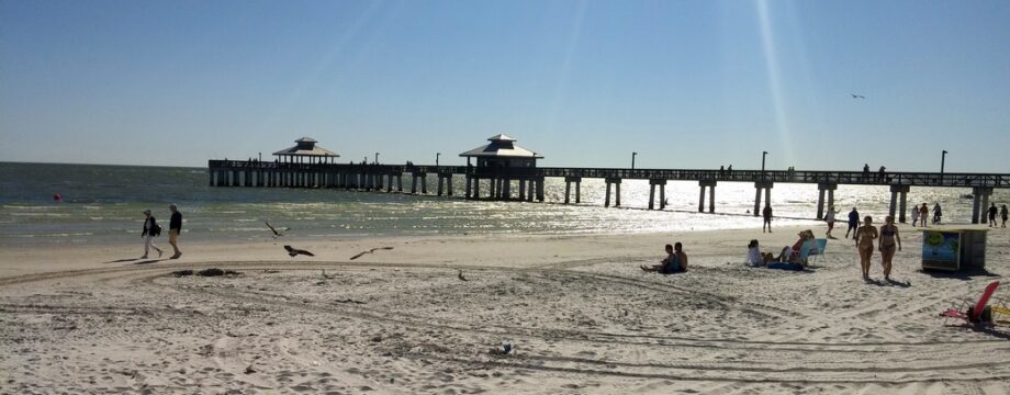
We had a violent sandstorm Saturday night in Albuquerque and a violent hailstorm Sunday night in Amarillo. Tonight we will be in Oklahoma City…
Grand Canyon again
The first time we went to the Grand Canyon, back in November last year, we went by train. That was a great experience, but the downside of the train is that you are left to walk the rim. The Grand Canyon is HUGE and walking for half an hour doesn’t change the perspective much.
So this time we drove. The south rim is about an hour from Williams and it is an easy, flat route. Once we got there we stopped at the main visitor’s center, which is just a bit northeast of the train depot and Grand Canyon Village where we visited in November. We spent about 30 minutes at the rim at the visitor’s center, then drove about 10 miles east along the rim, stopping at various overlooks to take some photos. It was a beautiful day and the canyon was looking fine.
But, as Jett says, “It still doesn’t look real.”
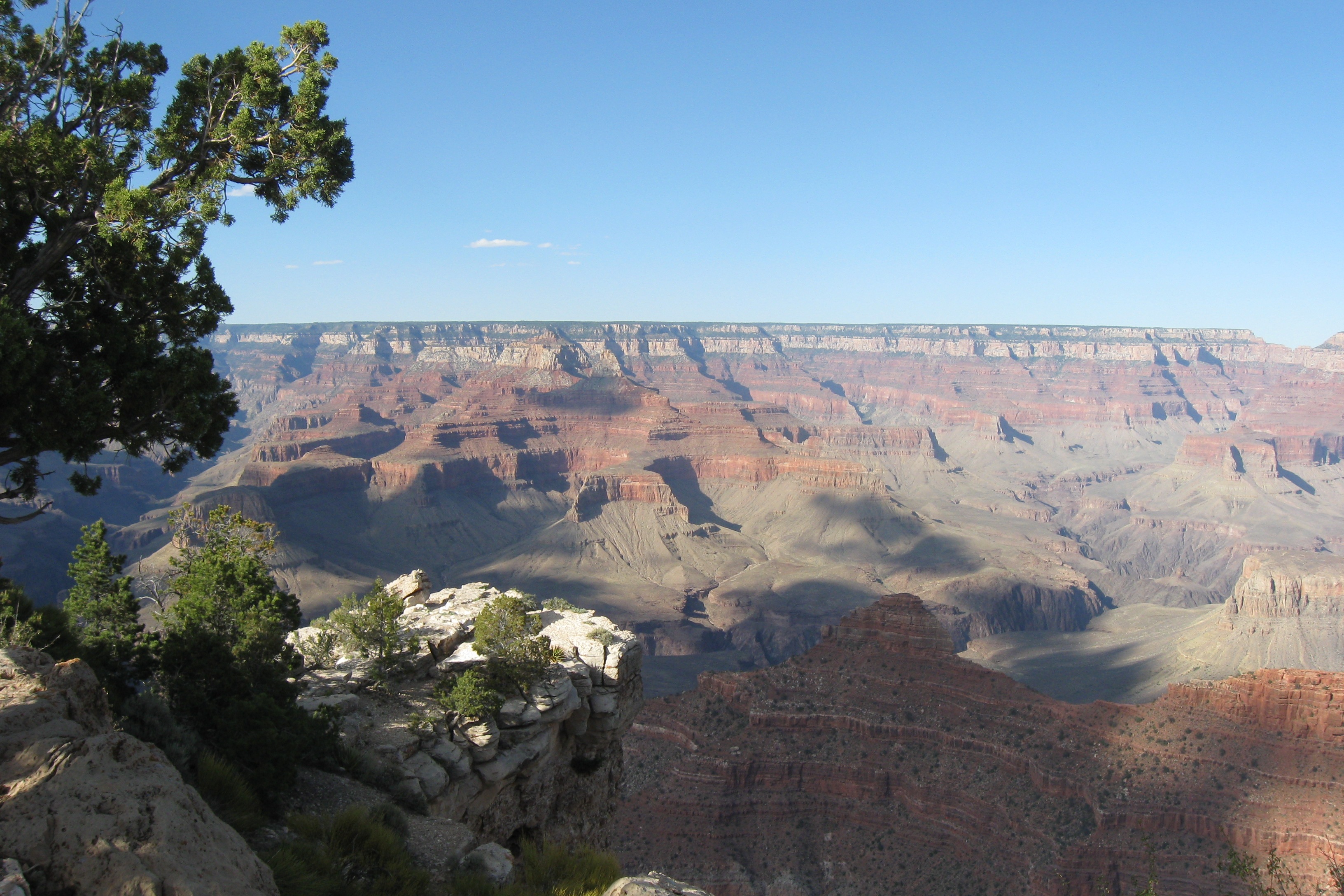
View from the Visitor’s Center
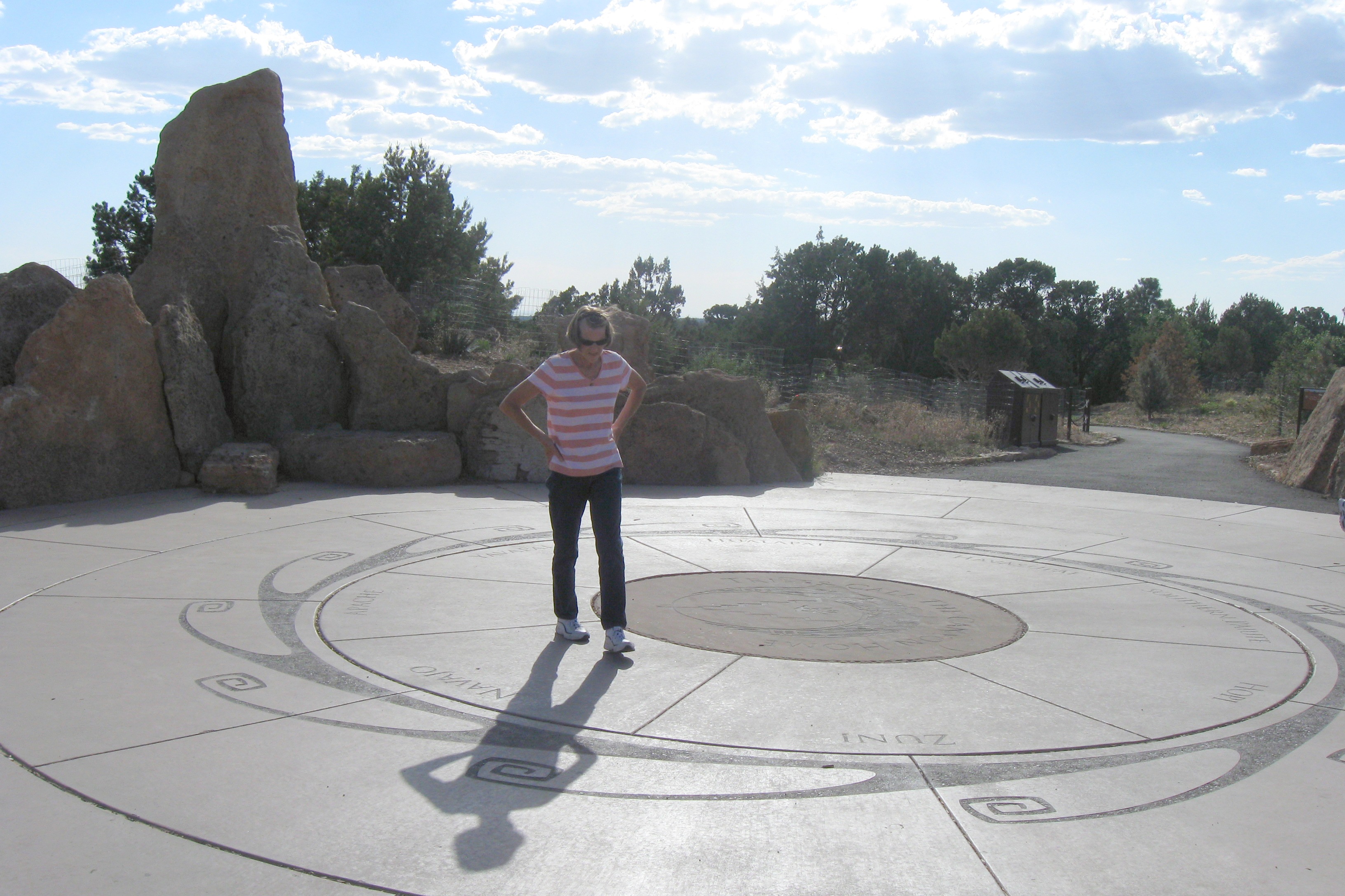
Jett at the Visitor’s Center
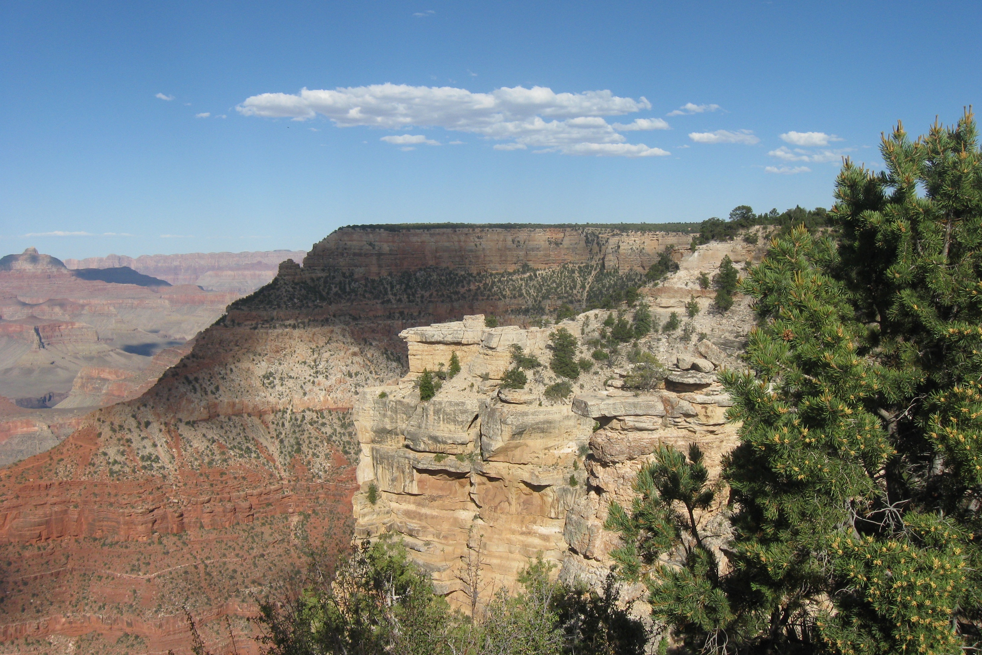
Looking east from the rim at the Visitor’s Center
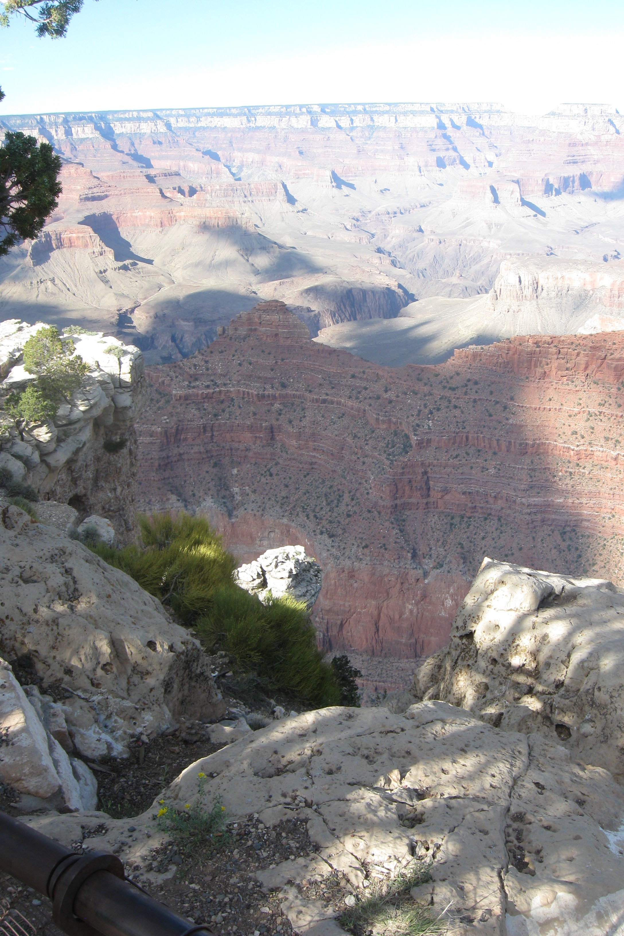
Looking down – yikes!
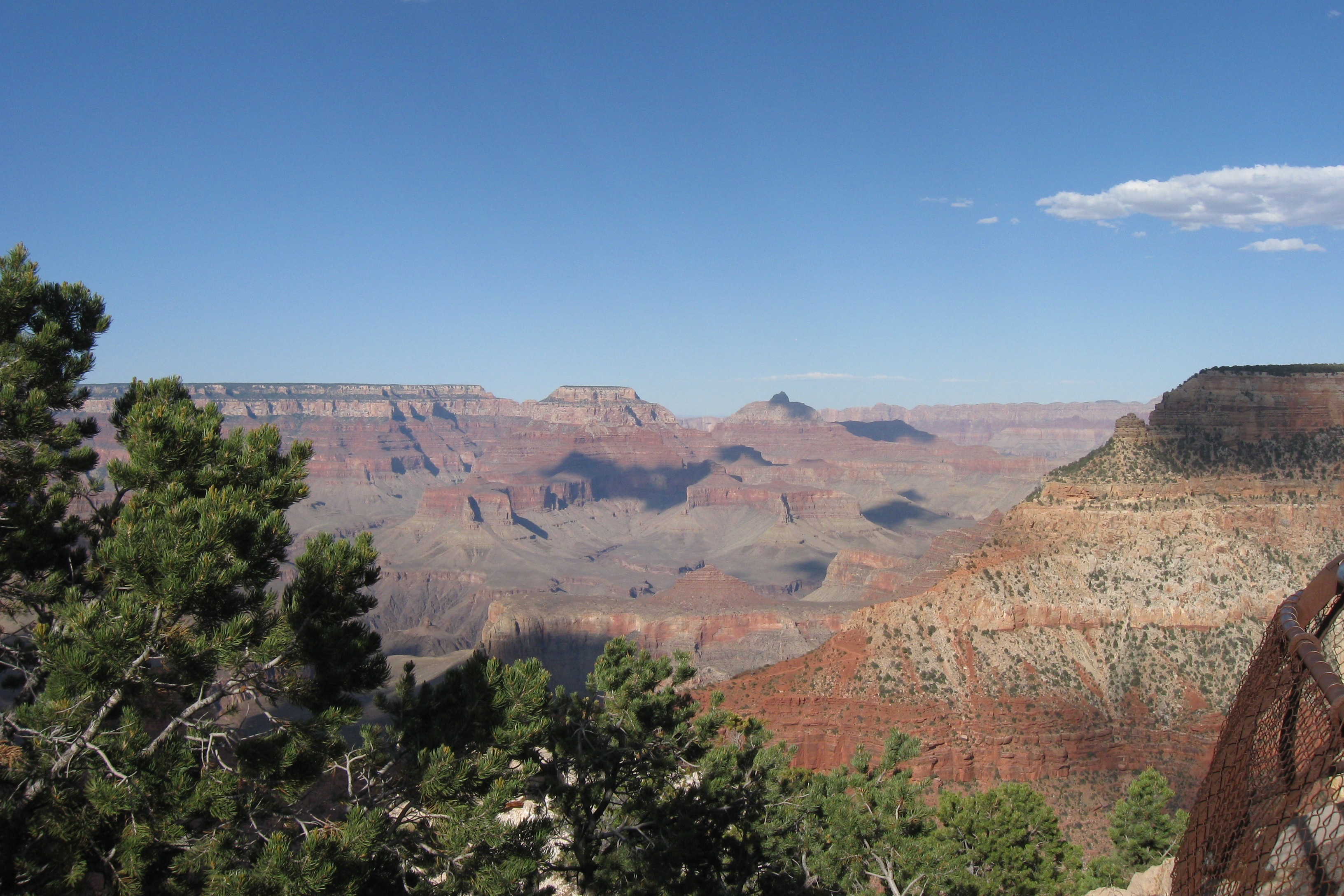
Just gorge-ous
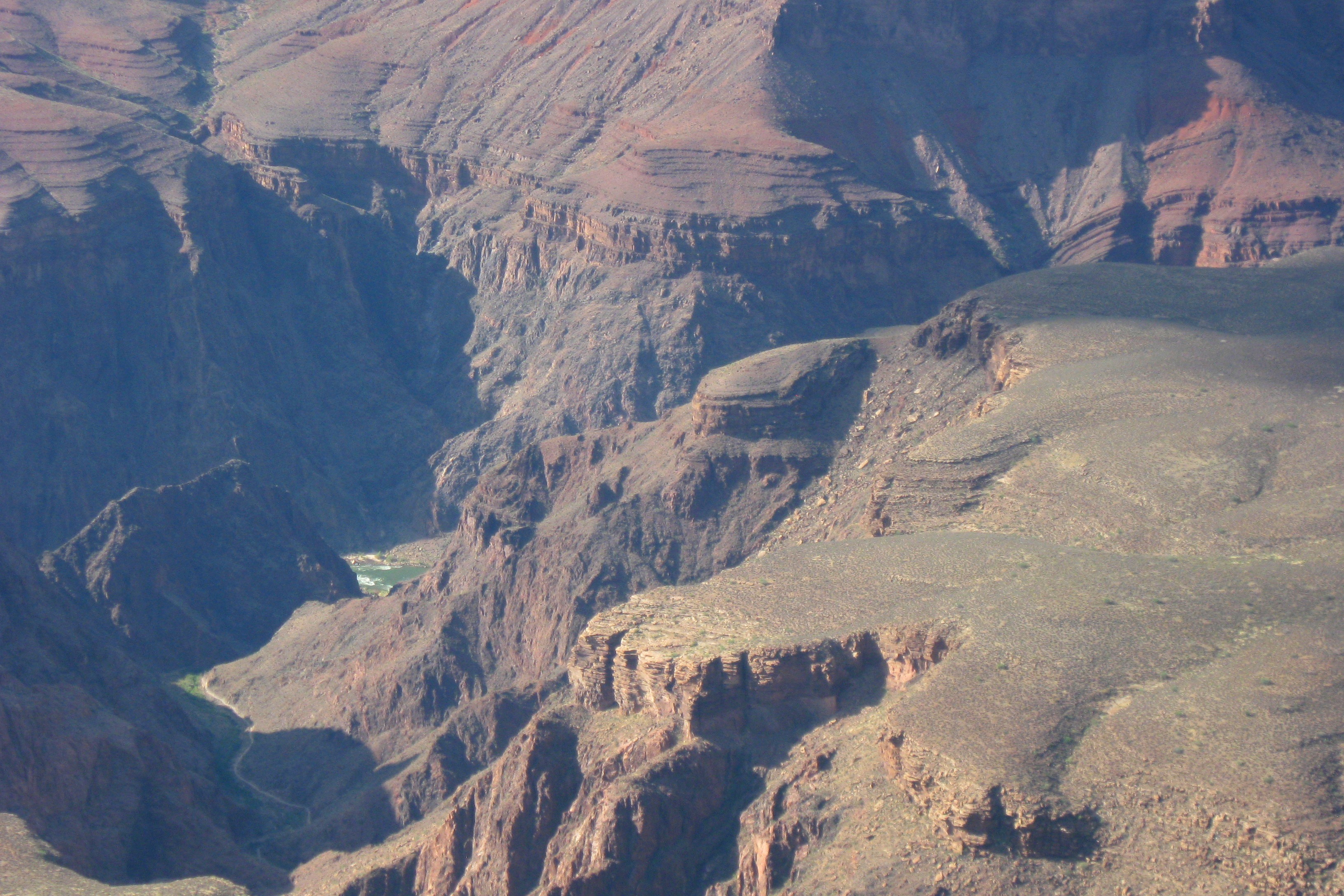
Hiking this would be… interesting
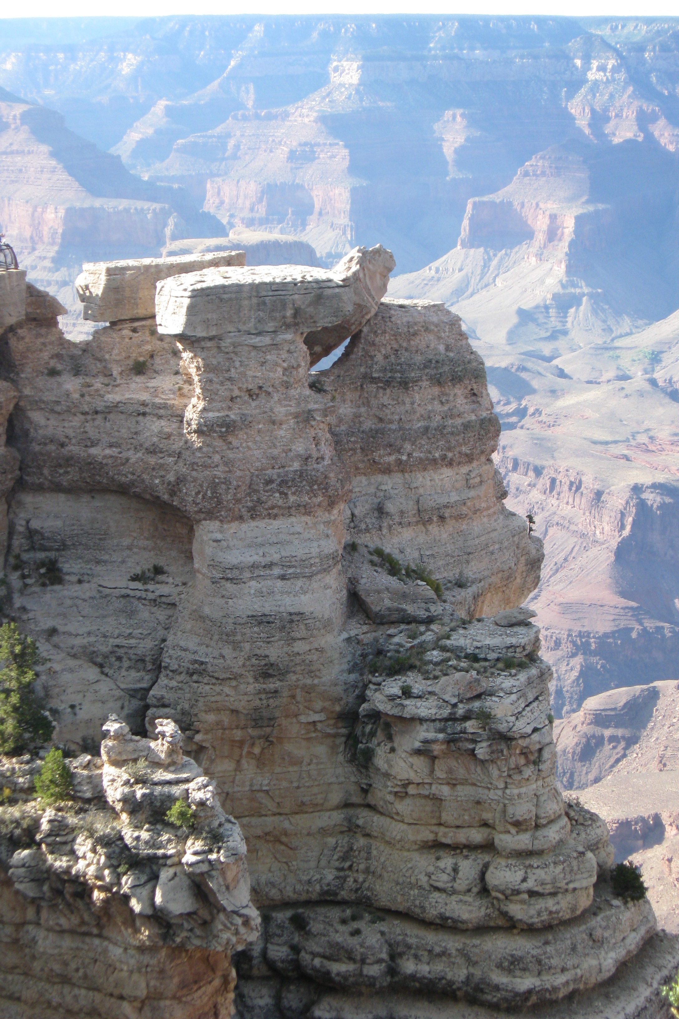
I love these rock formations
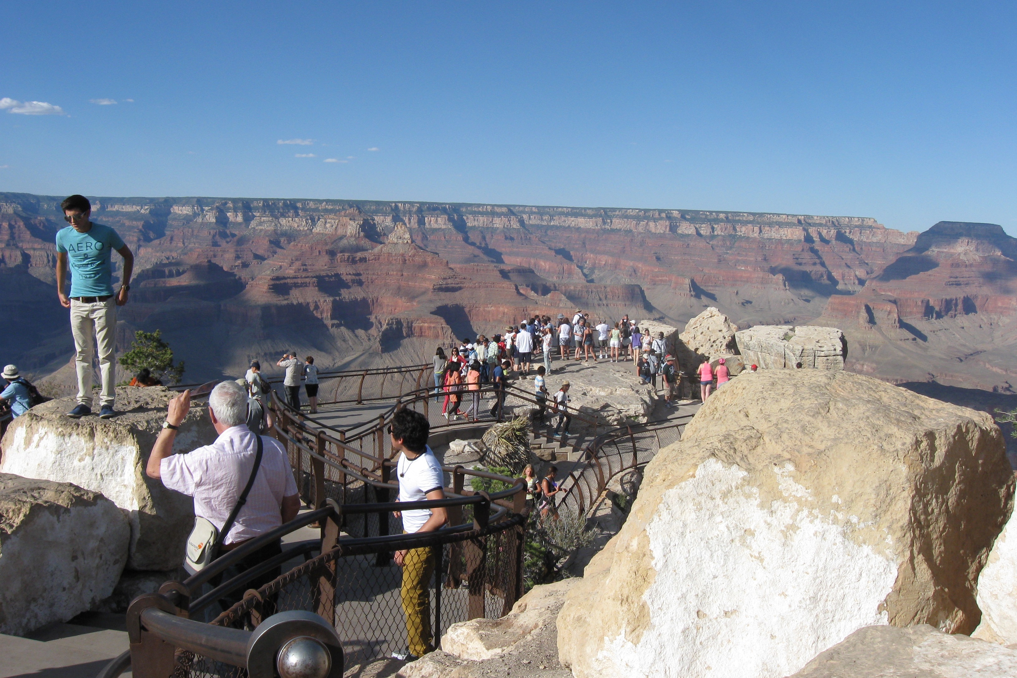
A popular viewpoint
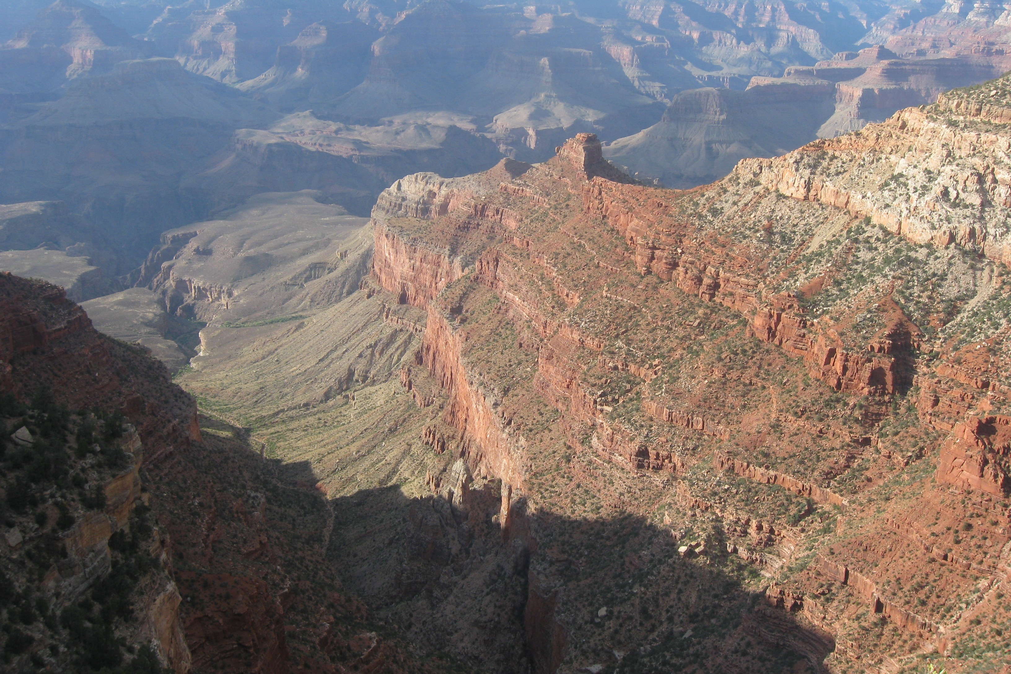
Love those colors!
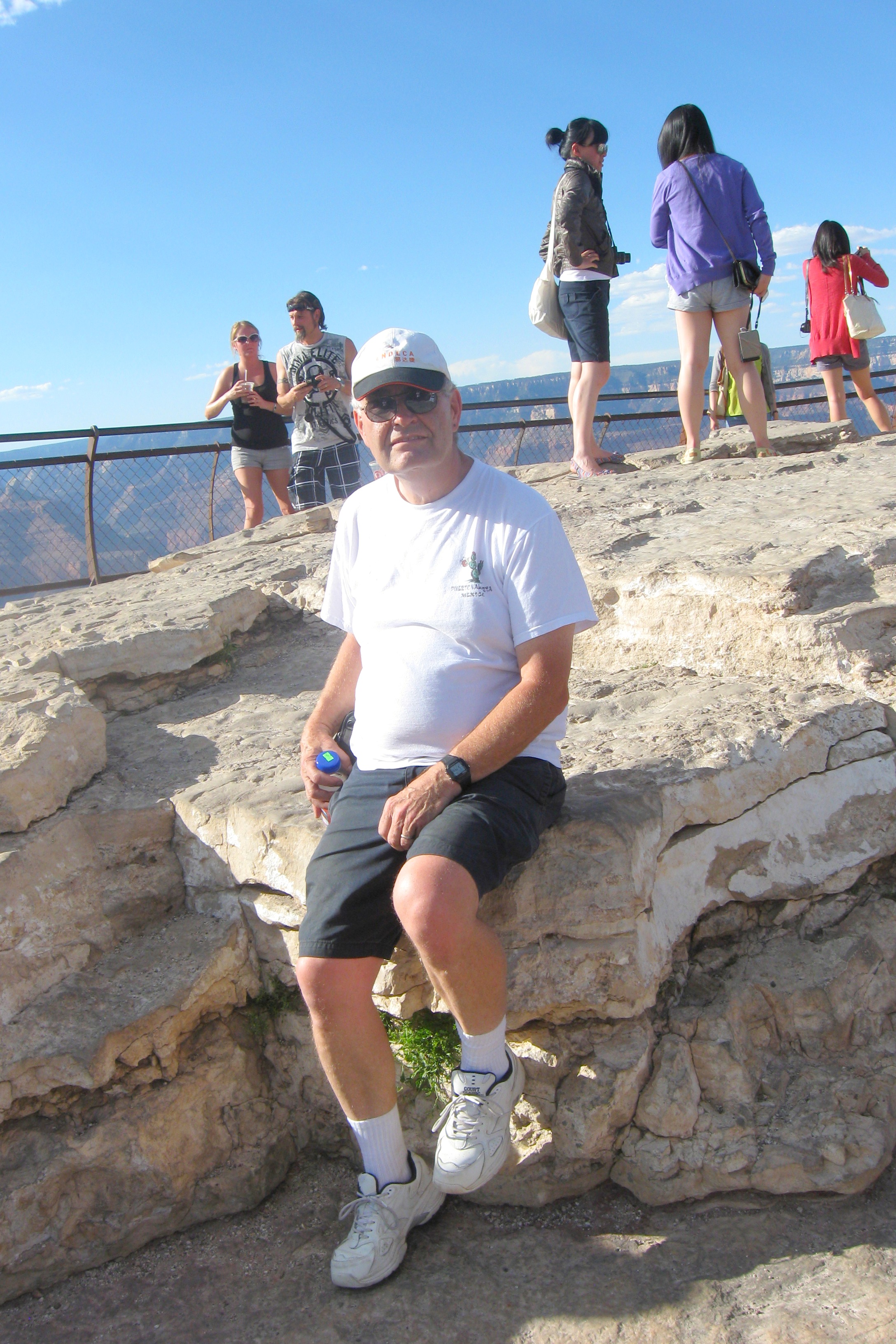
Sparky at the Grand Canyon
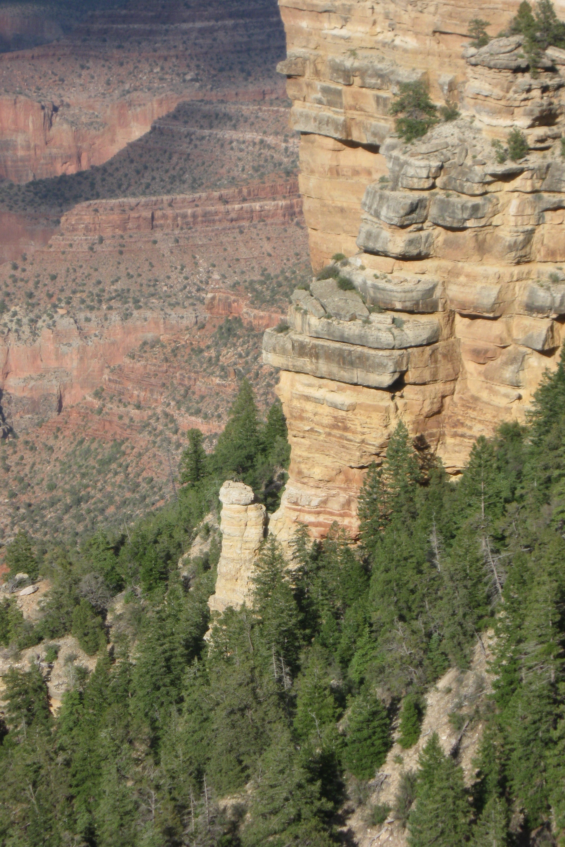
Sheer drop
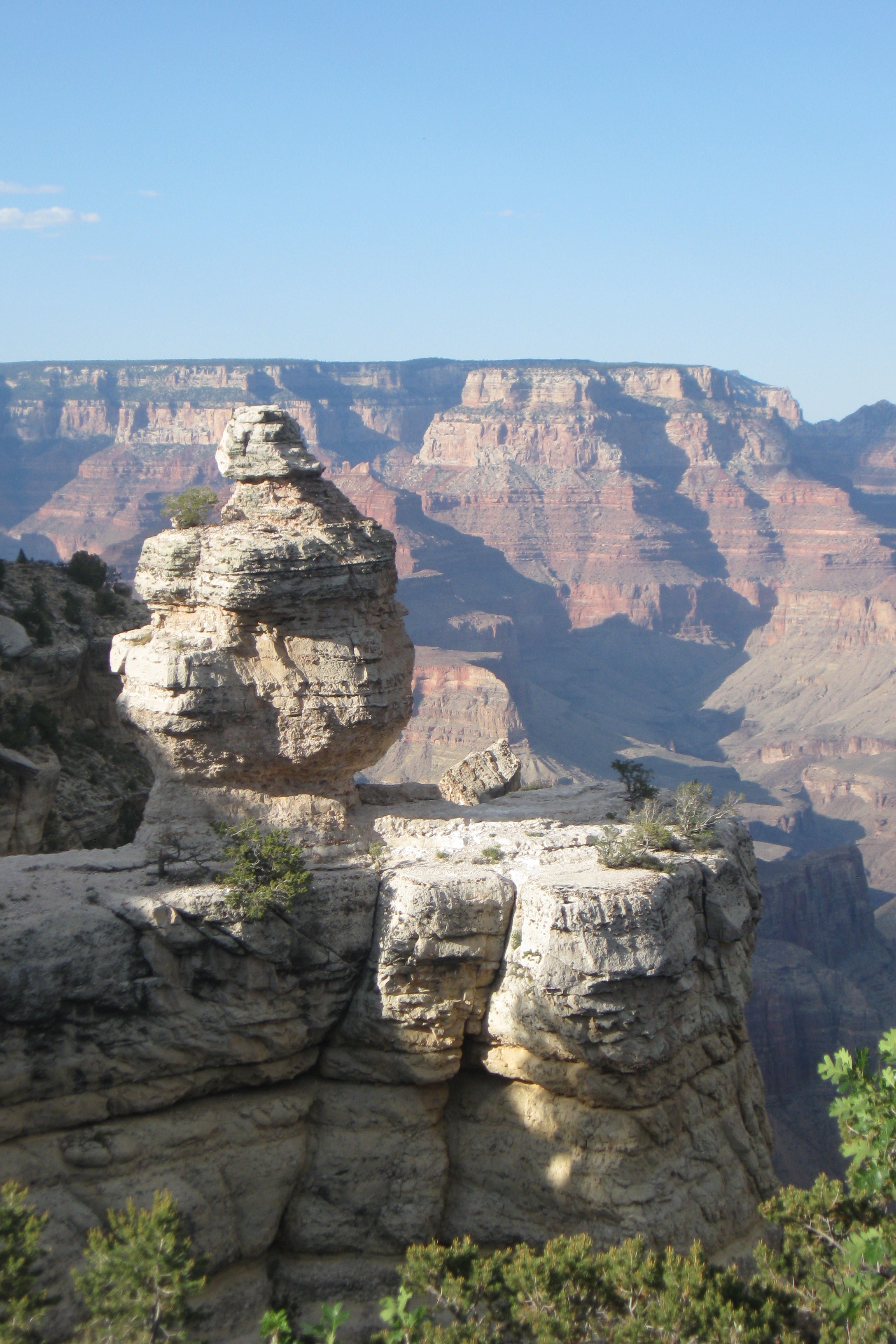
Awesome
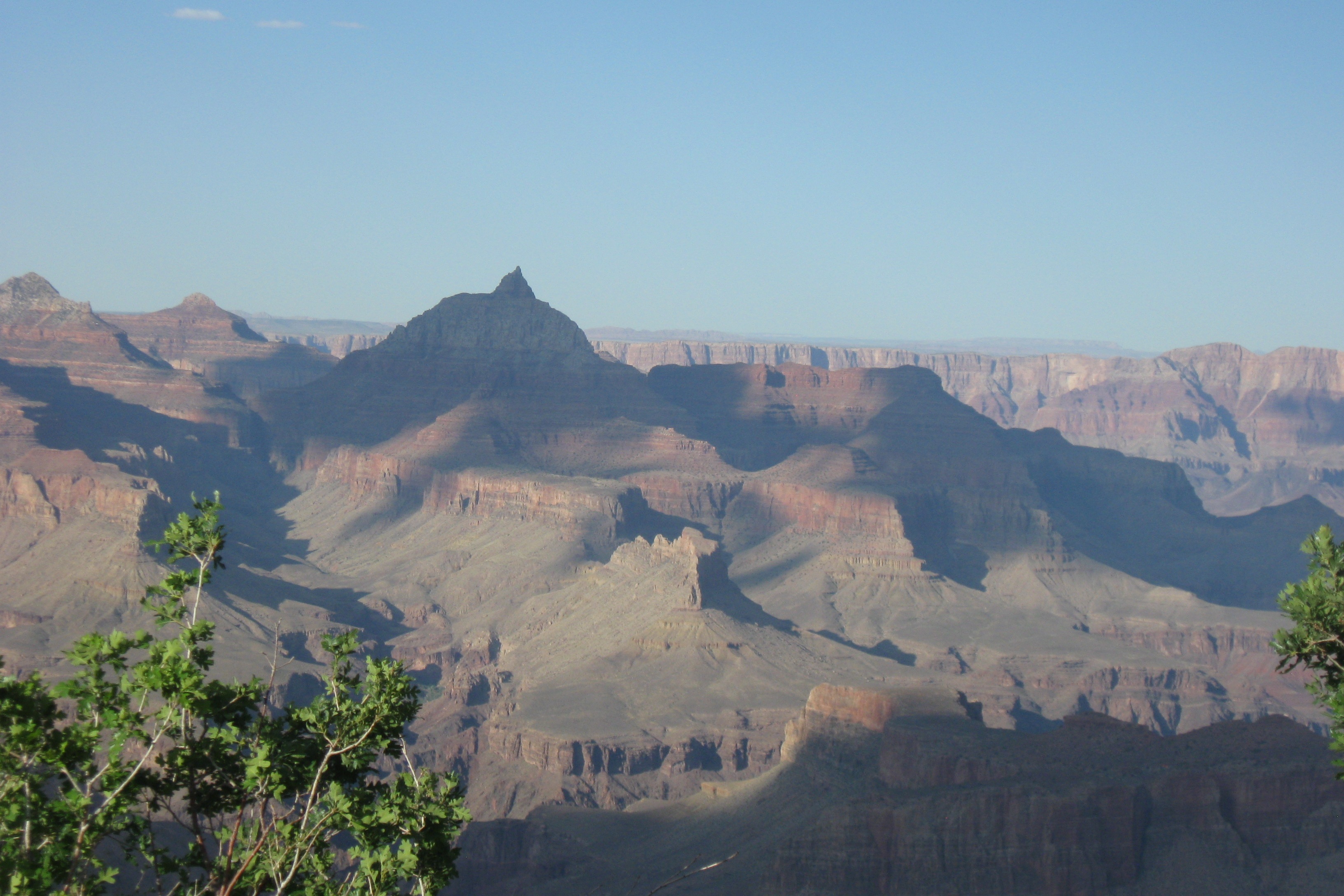
The Vishnu Temple
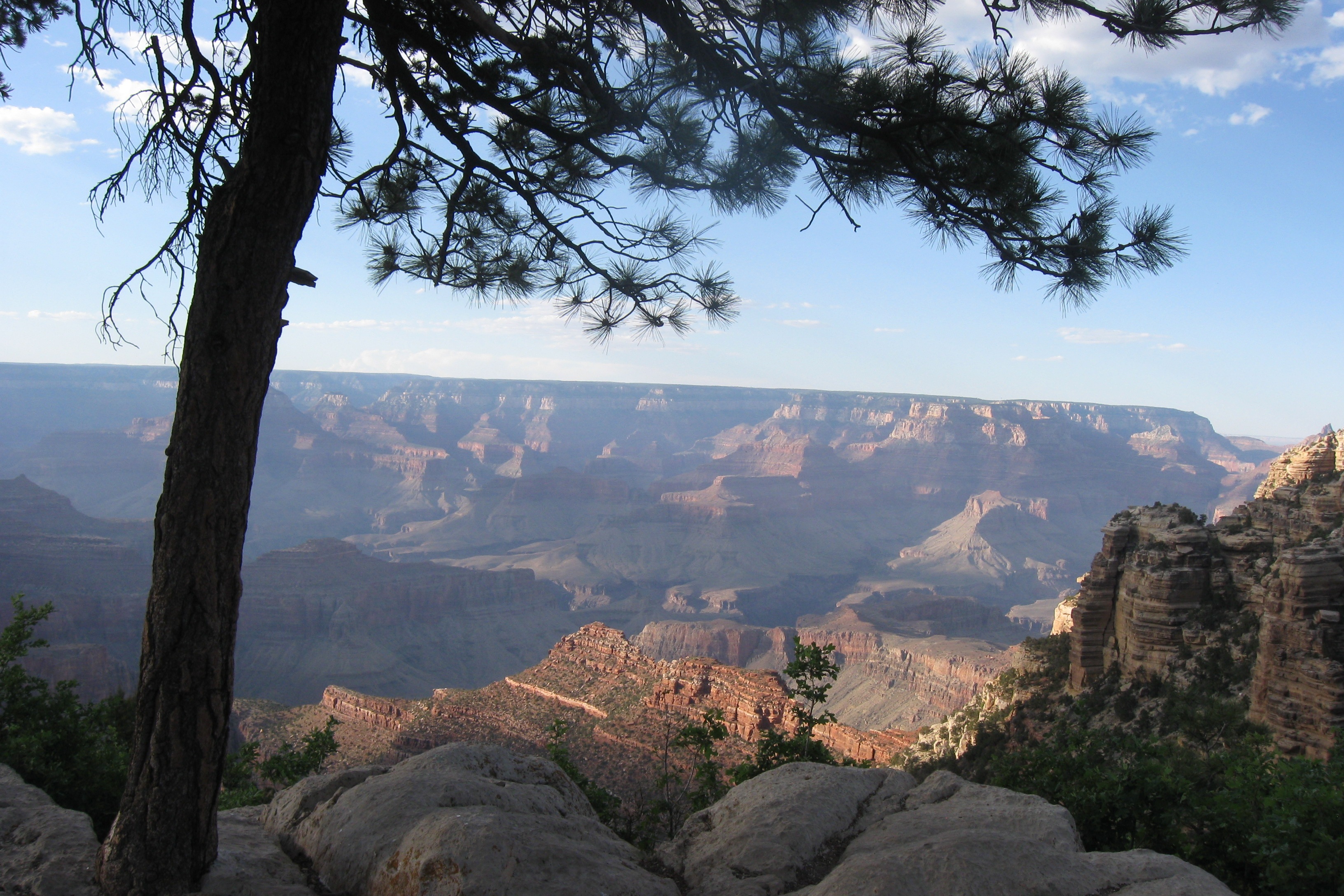
Our last view before heading back
Categories: AZ, Places, QTE
Leave a comment
QTE Hop 1: Aguanga, CA, to Williams, AZ
454 miles via CA 79, I-10, CA 177, CA 62, AZ 95 and I-40.
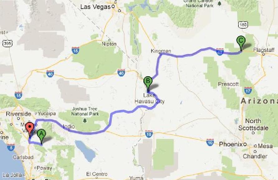
QTE Hop 1
Day 1: Aguanga, CA, to Lake Havasu City, AZ
The first day of this two-day hop was 279 miles, of which about 150 were through desert that was excessively hot, even by desert standards. I was pretty worried about how the truck would perform as we have never taxed it this way. The most difficult stretch last fall on the GTW was the long, uphill climb from Phoenix to Flagstaff and we did that in temps in the 70s. By contrast, once we hit Palm Springs – about 100 miles into the first day’s trip – the temperature was above 100 the rest of the way to Lake Havasu City. The worst part was the uphill climb out of the Coachella Valley, during which the transmission temperature hovered around 250 degrees, just 15 degrees below the red line. But it made it up the hill, cooled down once it hit the flats and in general performed like a champ.
The first 20 miles were down CA 79 to Temecula – my regular commute, previously documented. Then about 5 miles up I-15 to CA 79 north which we took about 40 miles north to I-10. This stretch of CA 79 is like the southern segment in that the first 5 miles are strip development which then opens up into farmland. This version of CA 79 is flatter and has quite a few miles of 4-lane roadway. And huge dairy farms, the arrival of which was announced by an aroma strongly reminiscent of Wisconsin. We were using CA 79 to dodge the mountains between Aguanga and Palm Springs – we went 46 miles out of our way to avoid these mountains and the nasty 7-turnback stretch of CA 371 that would, I think, have been too much for Jett’s delicate stomach.
The 40 miles down I-10 into Indio were remarkable for the number of wind turbines – thousands – that lined the roadway and the speed with which the temperature climbed. It was 83 when we entered the road and was 101 42 miles later when we stopped to top off the tank.
Topping off the tank after just 110 miles was important because there are no gas stations between Indio and Parker, AZ, some 120 miles away. I did NOT want to run out of gas in 110-degree heat in the middle of nowhere.
Other than that 10-mile uphill climb east of Indio, which made me watch my temperature gauges very carefully, the trip to Lake Havasu City was uneventful. The truck’s A/C was up to the task and kept us all comfortable. CA 62 was flat, but followed the terrain, which made for some interesting dips in the road. We crossed into AZ at Parker and I have to say that the Colorado River at that point is uninspiring. It is less impressive than the Hudson or even the Merrimac. I guess most of the water has been diverted before it gets to Parker.
We had to cross the London Bridge to get to the Crazy Horse Campground in Lake Havasu City. From the road, the London Bridge is, like the Colorado River, unimpressive. If they hadn’t lined it with flags you would never know that you were on a special bridge. I was hoping to get a side view of it from the campground, but didn’t.
At Crazy Horse we got Patience deployed in record time on a beachside pull-through, got the A/C cranking (which is to say, only slightly better than fans – the A/C in the RV is not made for 115-degree temps). We rested for a couple of hours (but didn’t nap – too hot), then got into our suits and jumped into Lake Havasu, just a few steps away. Ahhh… relief! I think I saw steam rising. The dogs enjoyed it, too.
And, yes, I took the camera out of my pocket before jumping in.
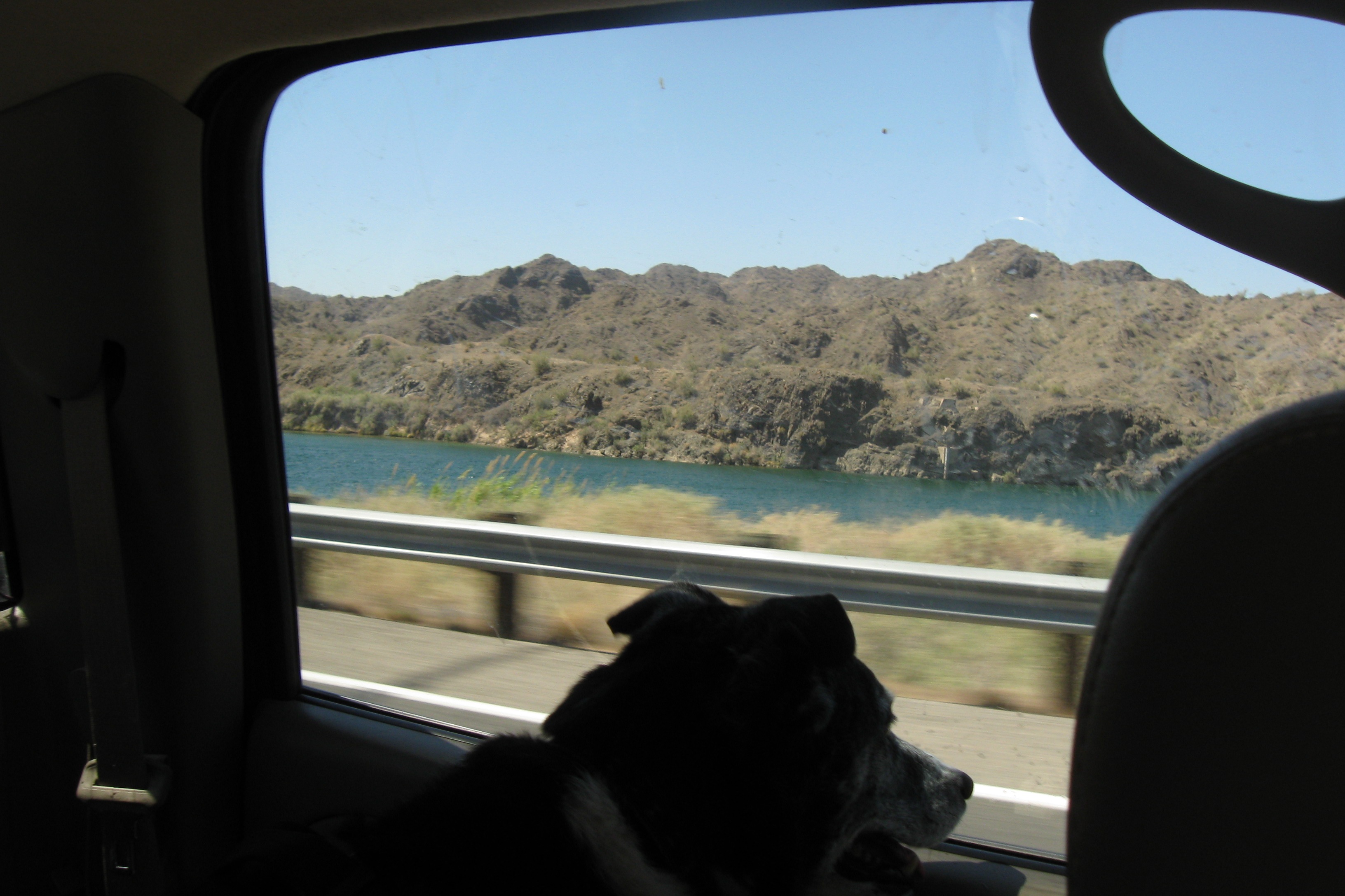
Grace viewing the Colorado River
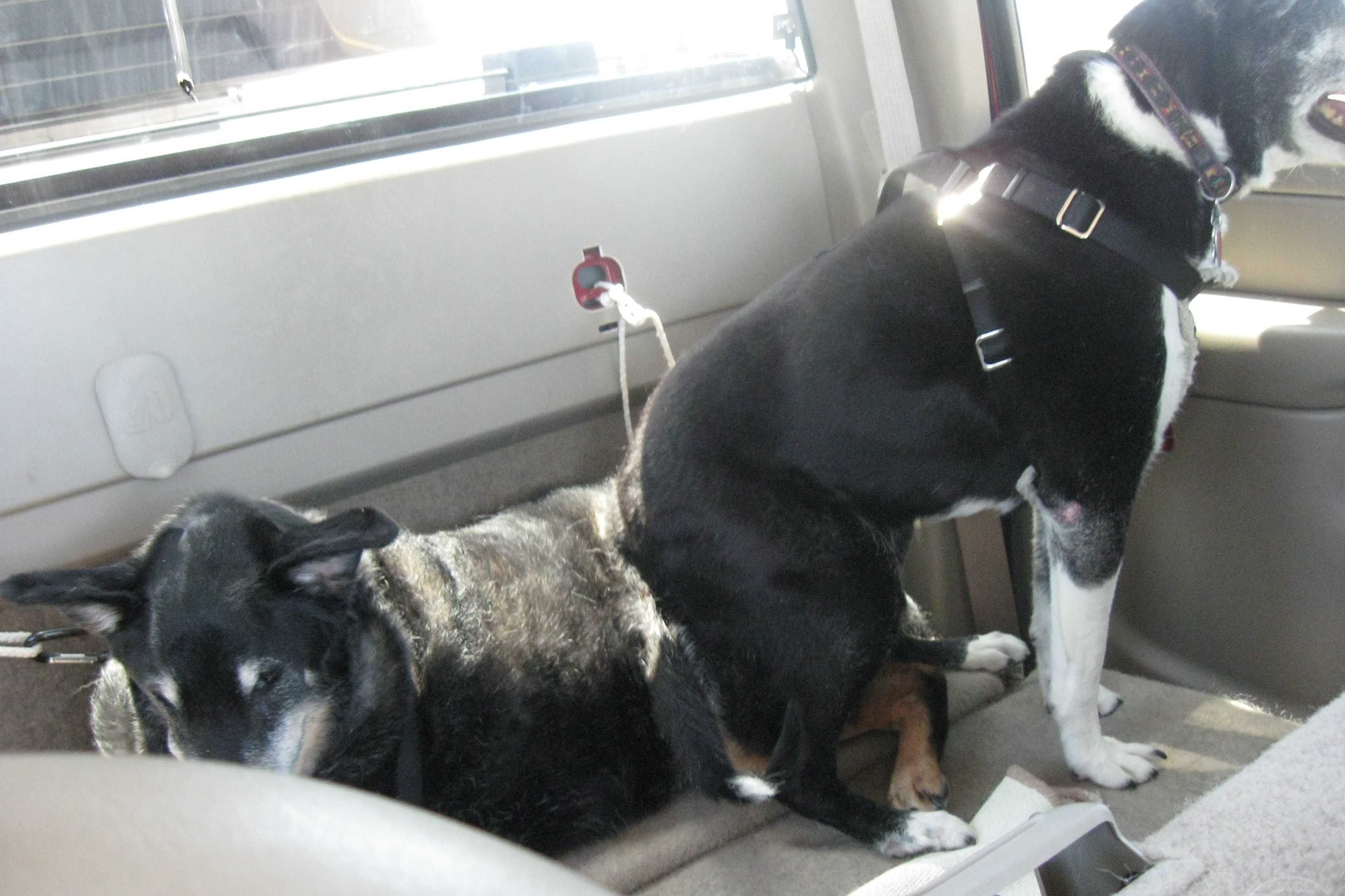
Grace resting on Cha-Cha
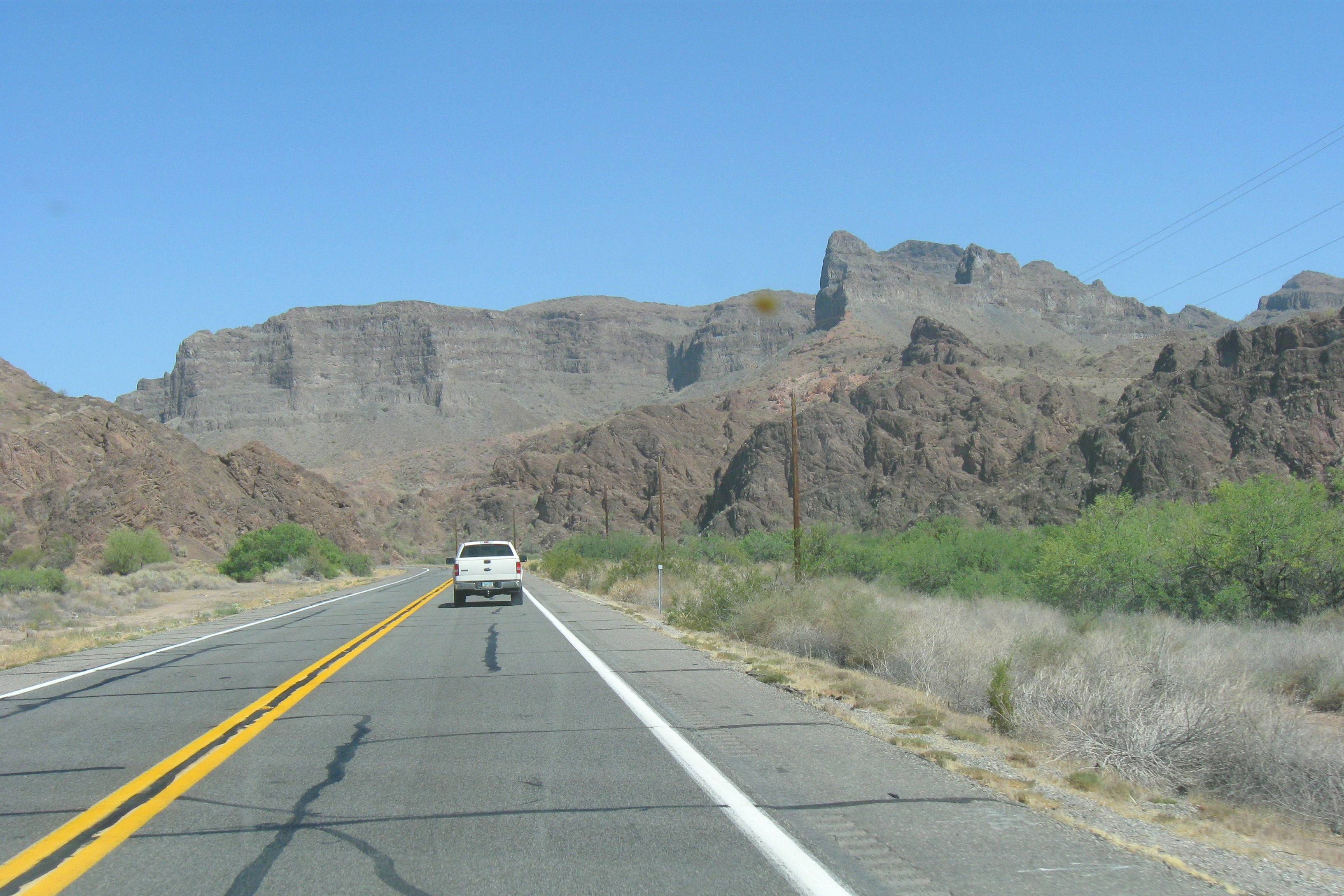
Approaching Lake Havasu City
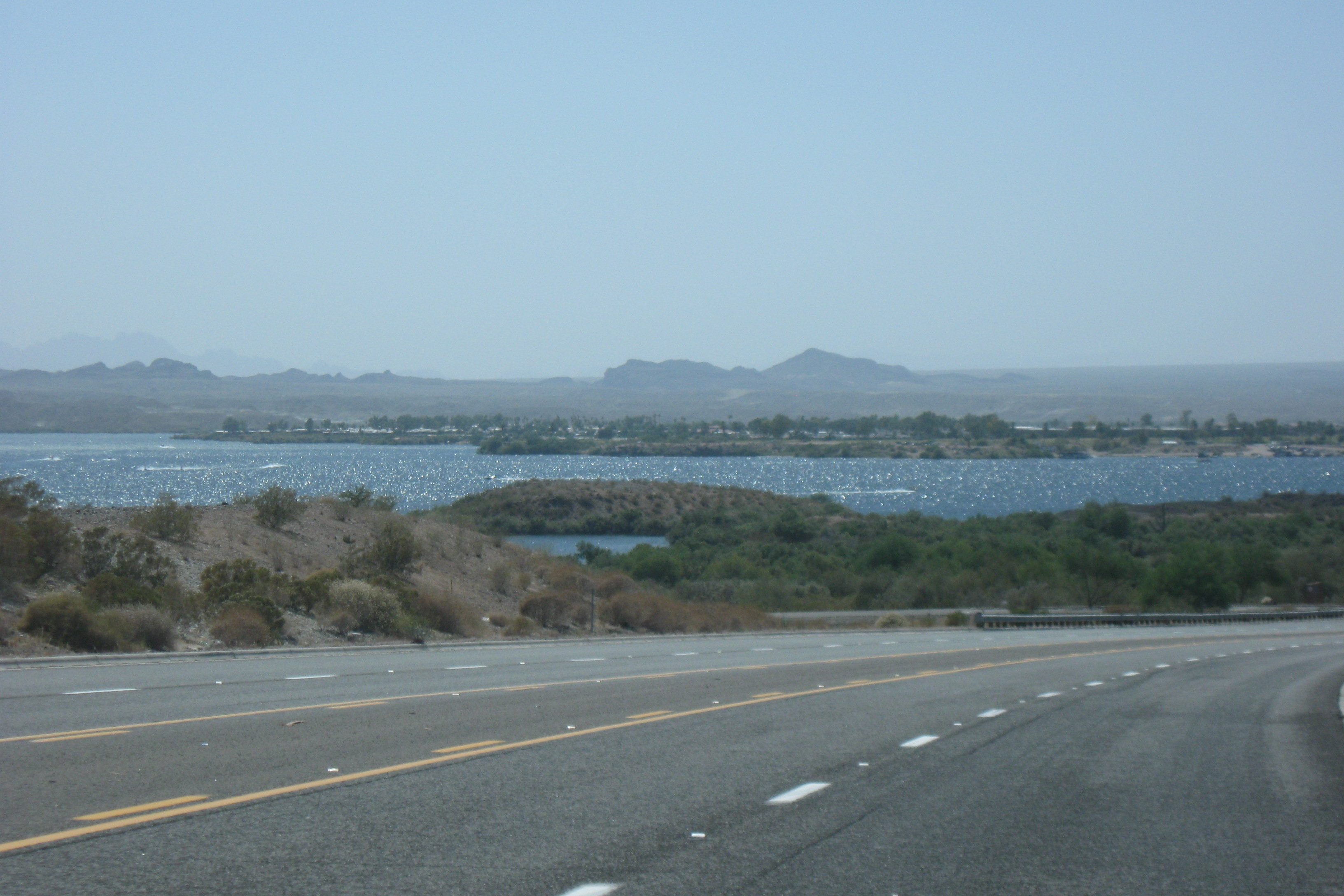
First view of Lake Havasu
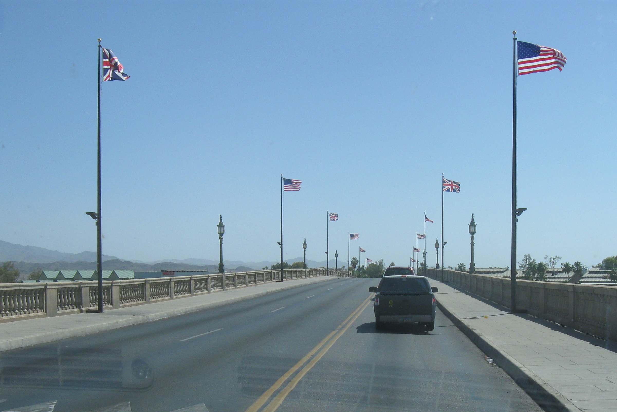
London Bridge
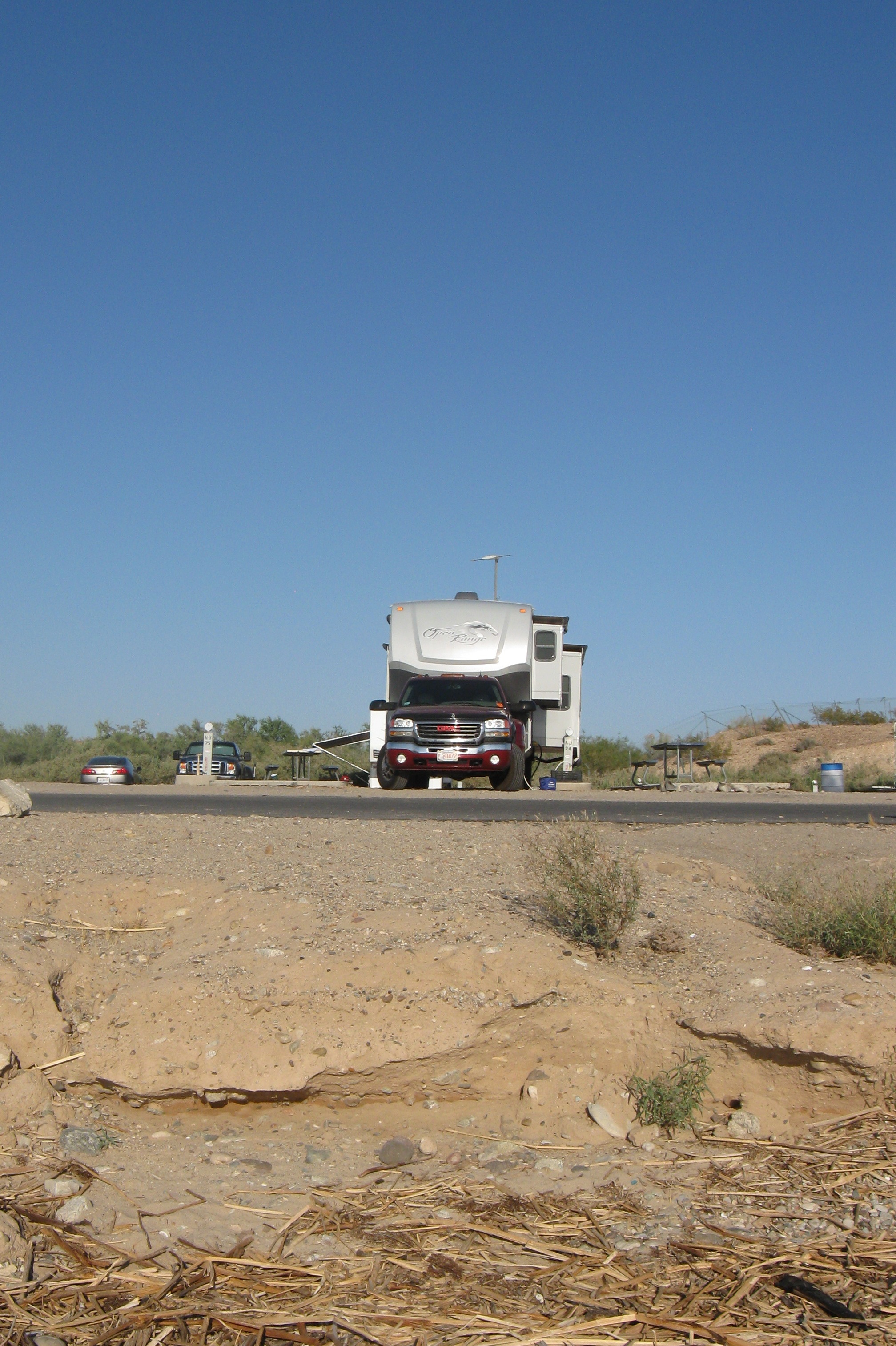
The rig at Lake Havasu
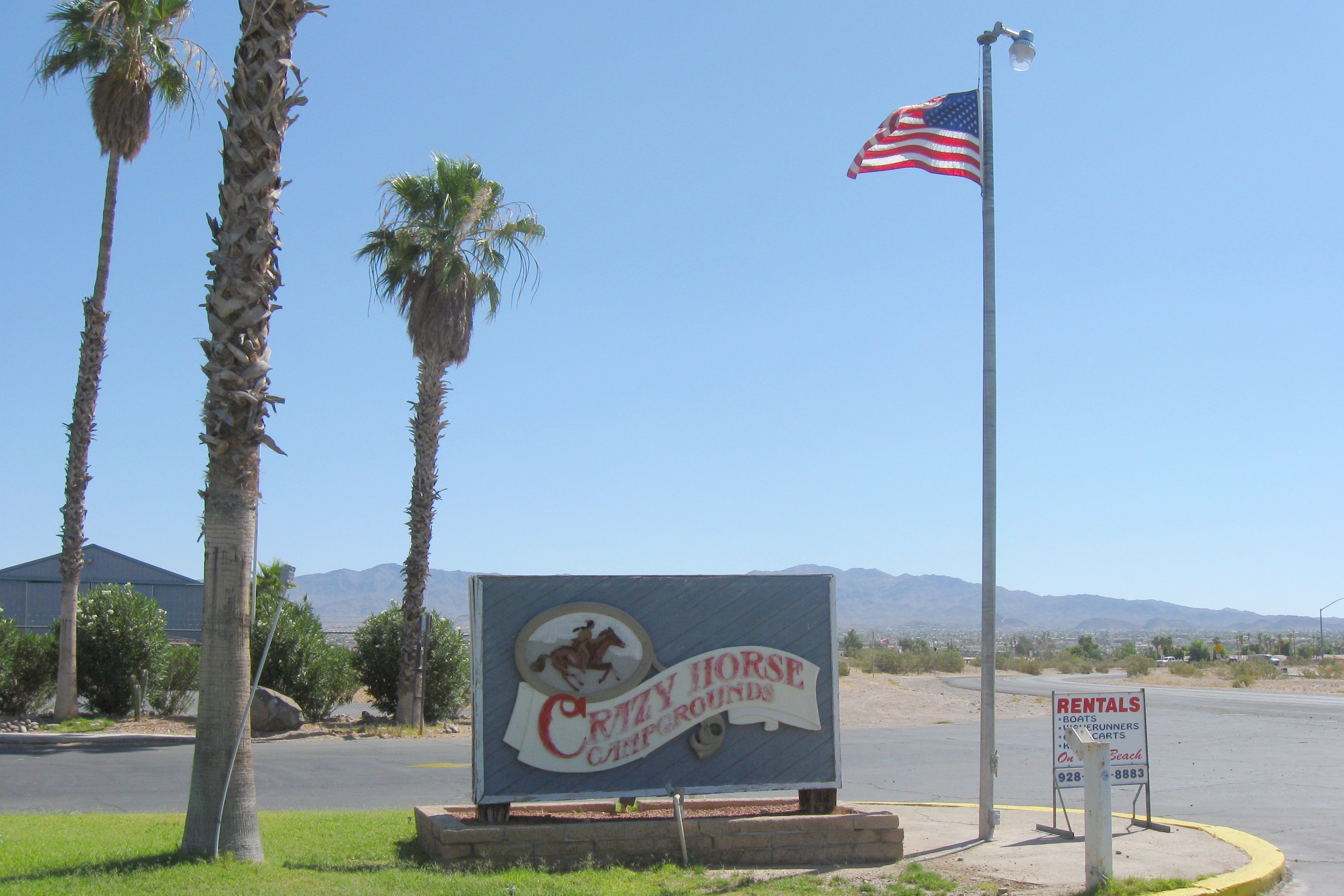
Entrance to Crazy Horse Campground
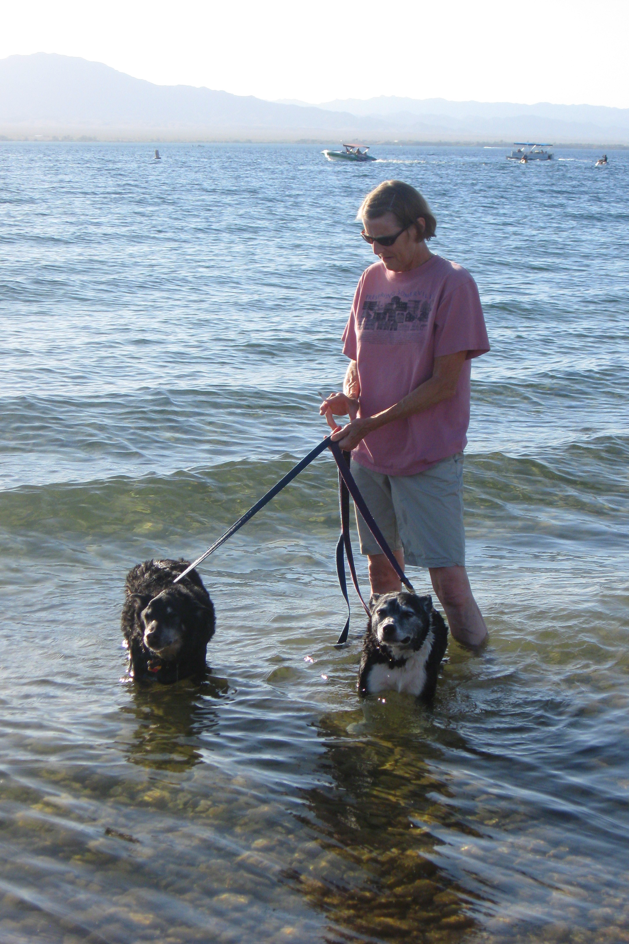
Dogs taking a dip
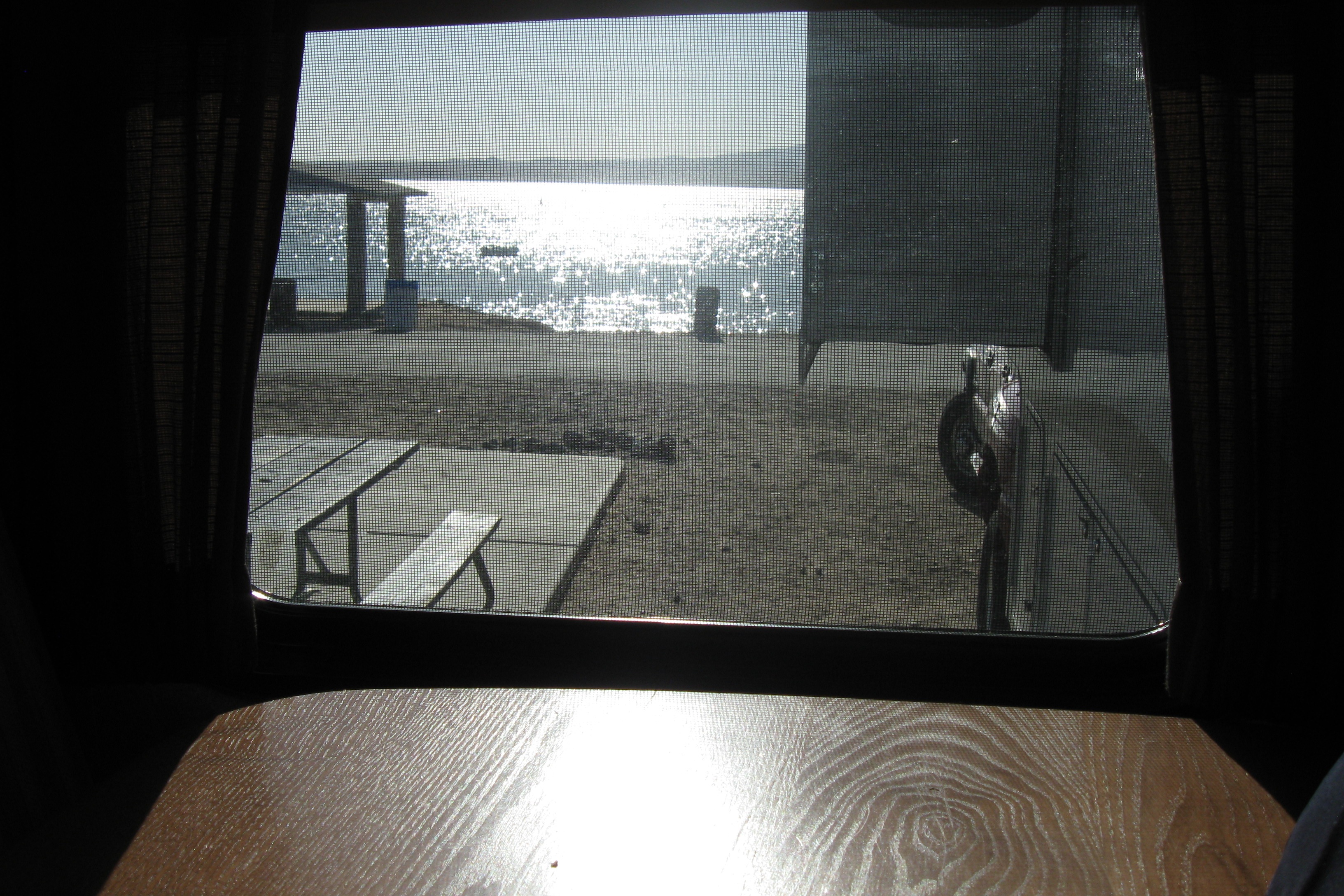
The view from inside Patience
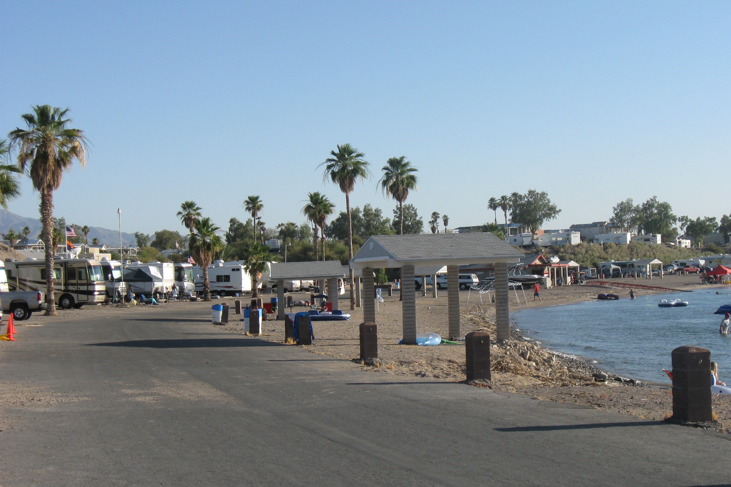
North Beach campsites
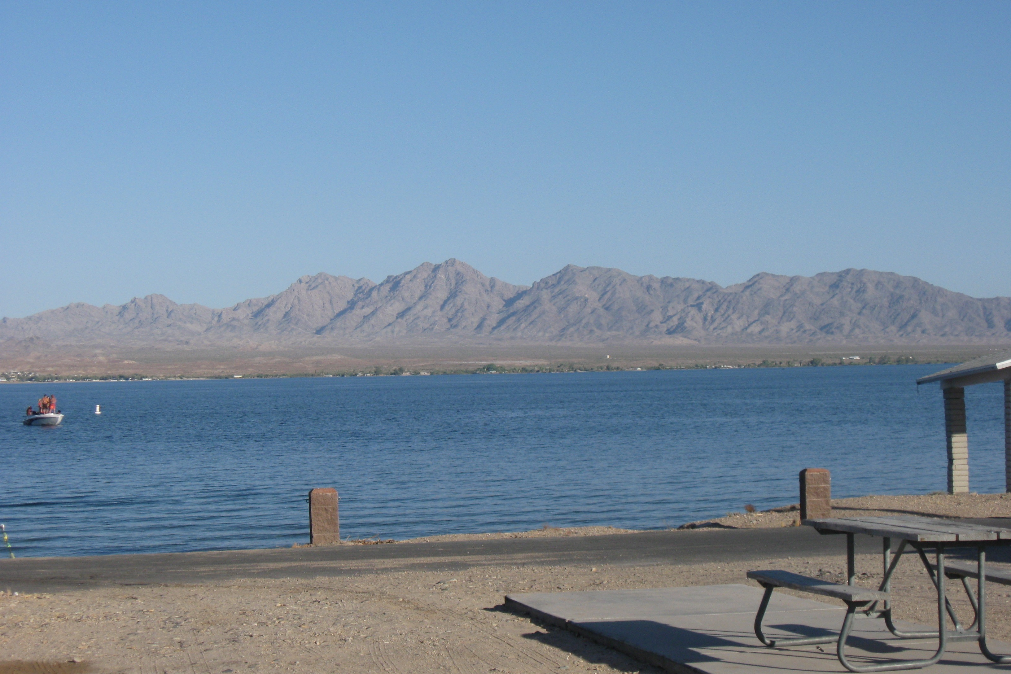
Lake Havasu
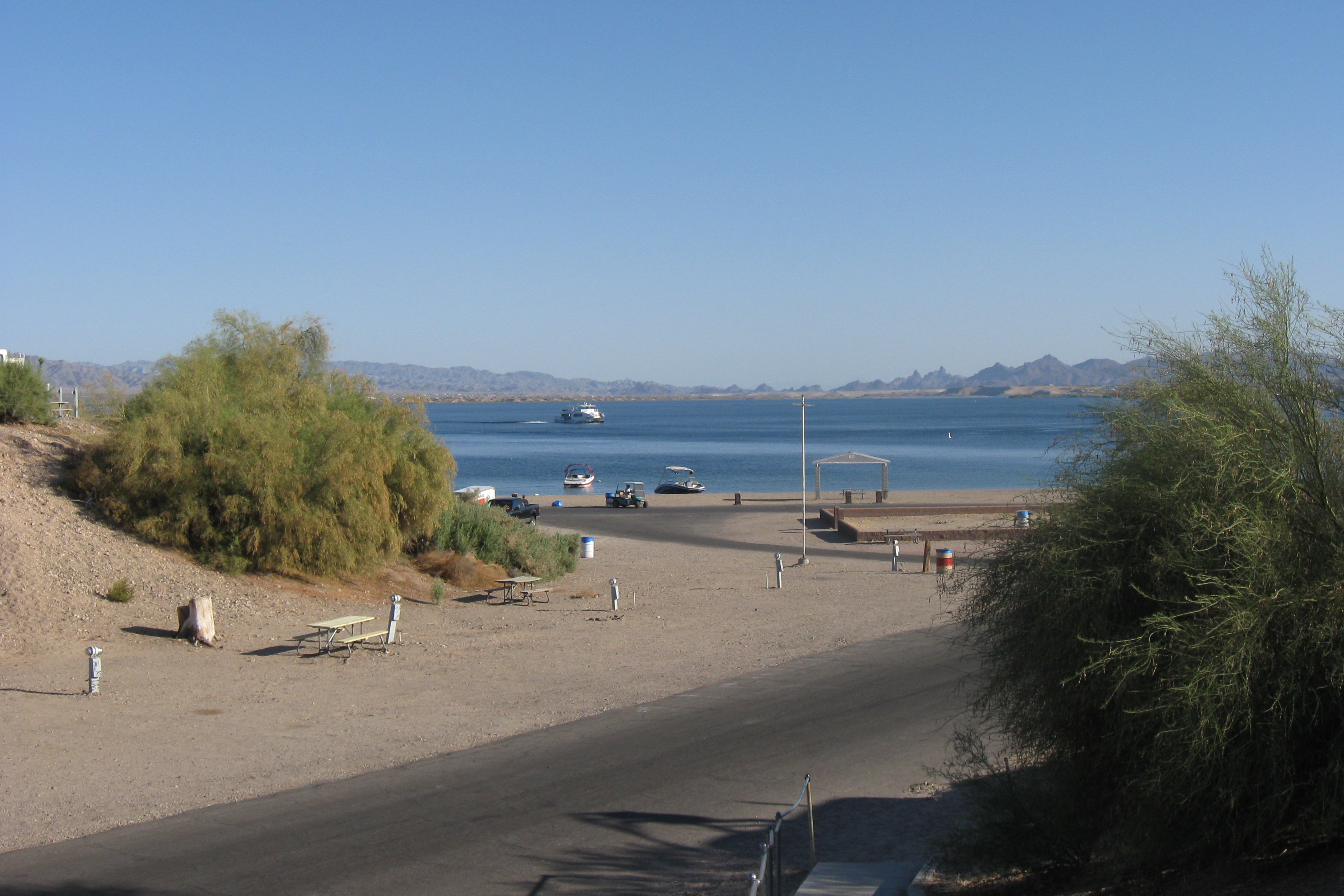
The lake from atop the dunes
Day 2: Lake Havasu City, AZ, to Williams, AZ
This second day of the hop was mostly a long 150-mile haul uphill on I-40: the starting elevation, at Lake Havasu, was about 800′ and the ending elevation at Williams was over 6,200′. While the temperatures were not as scorching as the first day in the desert, they did hover between 95 and 100 the entire way, making it another major challenge for the truck. And while it generally performed well again, I did hit the red line on the transmission temperature on the last uphill stretch into Williams. I really didn’t want to stop just a few miles shy of our destination, so I pushed it to the top, then let it rest on the downhill. I sure hope I didn’t do any damage to the transmission because (1) we need a healthy truck and (2) I will catch hell from Jett.
The stretch from Kingman to Williams was one of those rare road segments that we had already traveled (the other being I-5 between southern Oregon and Sacramento), but of course we did it in the easy, downhill, direction on the GTW last November. It didn’t look all that familiar.
This is our second visit to Williams (the first one being our visit to the Grand Canyon on the GTW). This time we are staying at the Canyon Motel & RV Park which is just slightly more remote than the RV park at the train terminal where we stayed the first time. The site is gravel and might be the most uneven site we have encountered yet (we had to raise the starboard side of Patience about 5 inches). There aren’t a lot of amenities at this park – a crappy indoor pool and a minimalist general store. But it has GREAT WiFi service, which is what I need to do my job. We are staying 6 days, leaving next Saturday, and I will be working all week.
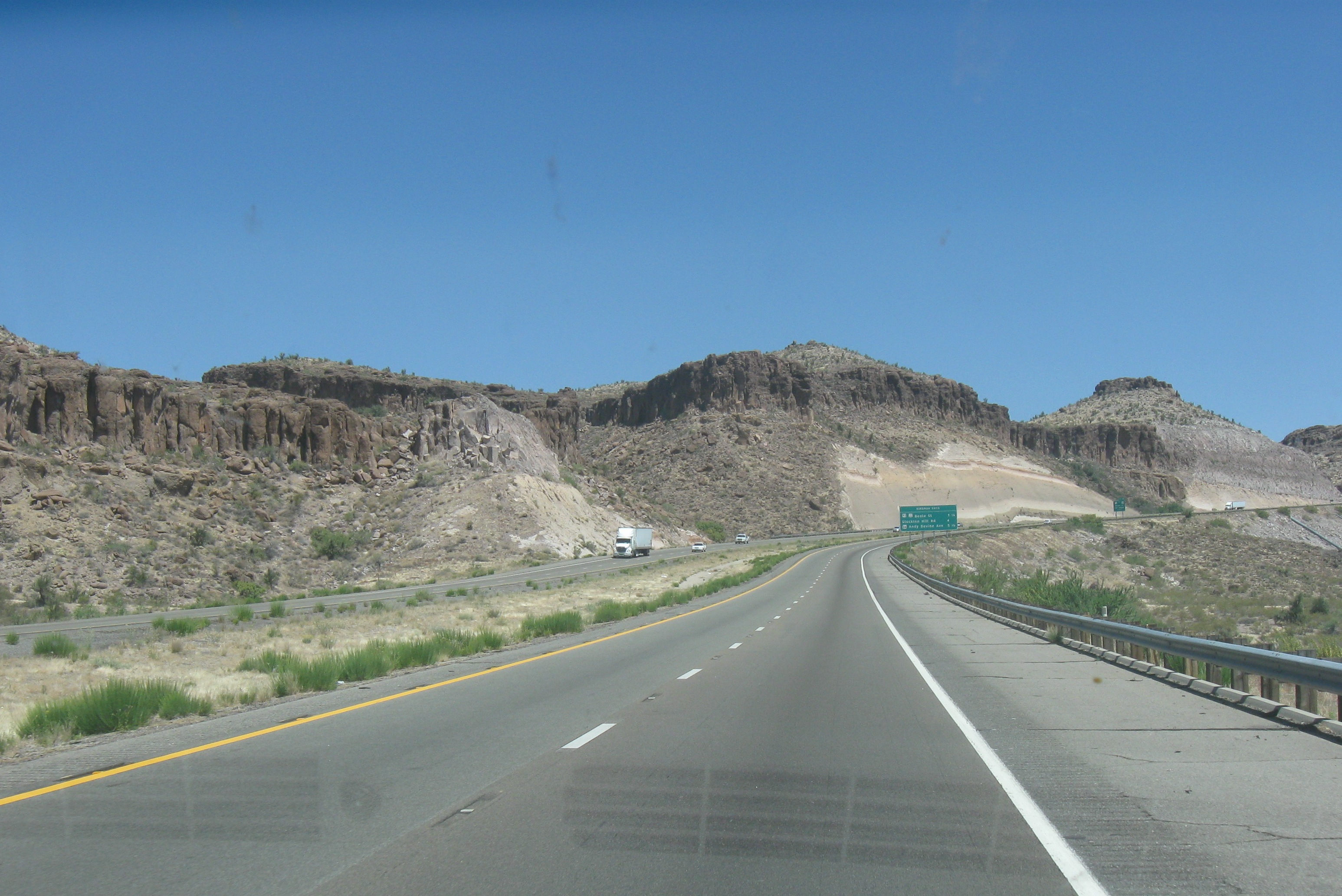
The climb out of Kingman
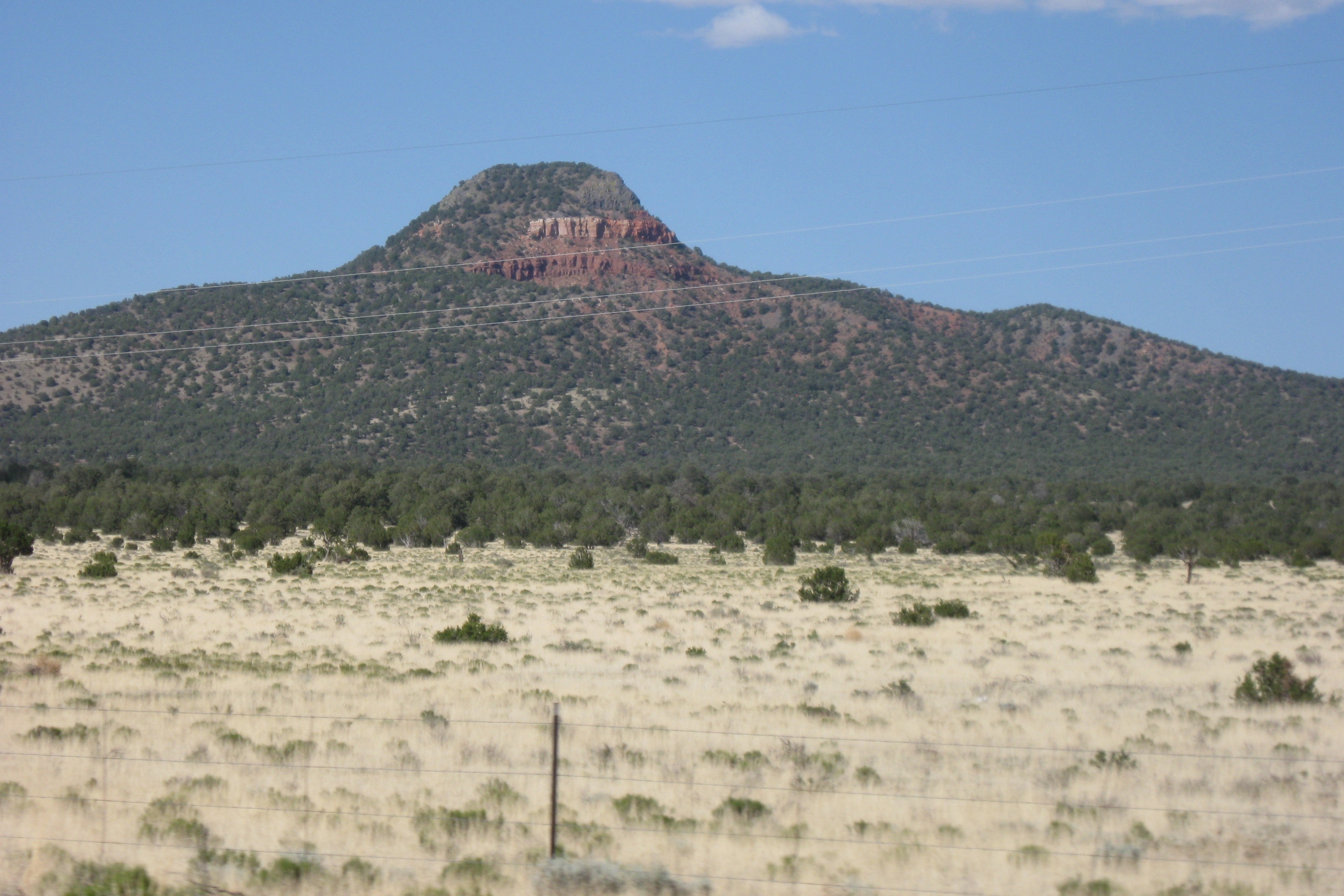
Approaching Williams
You can’t come to Williams without visiting the Grand Canyon – I think that is a local ordinance – so we ran up to the south rim after we settled in. The canyon is still beautiful. I will report on that next.
So long, California, you’ve been gnarly
Today, with any luck, we will leave California. We might be back (though Jett swears otherwise), but it won’t be for a year or more, I suspect.
To get out we need to travel through record heat along a road with no travel services for 100 miles and probably without cell phone service most of the way. I hope the truck is up to it – hauling a 15,000 pound trailer while also pumping out cold air for us and the dogs. But we will have plenty of water and someone will help us, I am sure, if we are unlucky enough to break down.
I have reduced the air pressure in the tires by 3 or 4 pounds, in anticipation of them getting very hot. That’s my biggest worry – a blowout.
I have enjoyed California, for the most part. The weather, despite the rainy December, has been excellent. Jett hates the water and is adamant that we aren’t coming back. But I think when she feels the humidity in Florida, or sleet in Massachusetts, or mosquitoes most everywhere, she will appreciate the dry climate of southern California.
Anyway, we have been living in a beautiful place for 4 months. Here is one final photo from Rancho California.
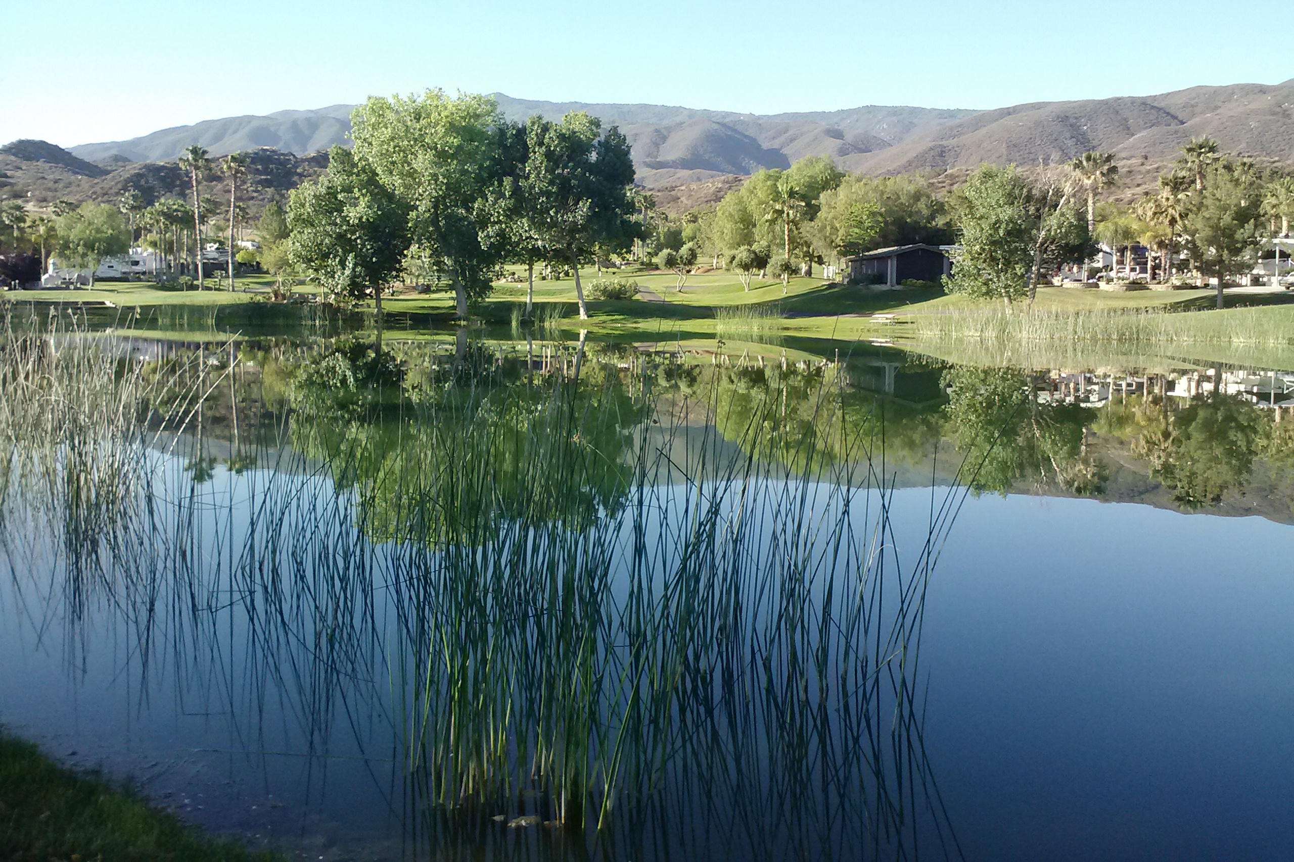
The pond at Rancho California
Categories: CA, Places, RV Parks
Leave a comment
My penultimate commute
I would have saved this for tomorrow, but that would have been my final commute to Temecula and it is so much more fun to say penultimate.
Anyway, I wanted to document, for my memories as much as for anyone else’s edification, the glorious first 15 miles of my commute (or last 15, if I am on my way home). It is a moonscape, with big rocks strewn about like so many granite beads from a celestial string. I have read that the soft soil is actually the bed of the ocean, pushed above sealevel some 5 or 10 million years ago. And the rocks are the magma that was spit from the fissures in the earth’s crust at that time that mostly solidified before landing on that soft sand.
It is unlike anything you will find in Massachusetts.
And there are some points of interest along the way.
So, starting from Temecula and heading sound on CA 79, this is what I have seen every day…
The trip starts with 5 miles of conventional strip development along an 8-lane boulevard which abruptly transforms into a narrow, winding 2-lane country road. There is one stop light about a half-mile out of town where you can take a left to visit the Temecula vineyards. Going straight puts you on a path to Aguanga and other similar dots on the map.
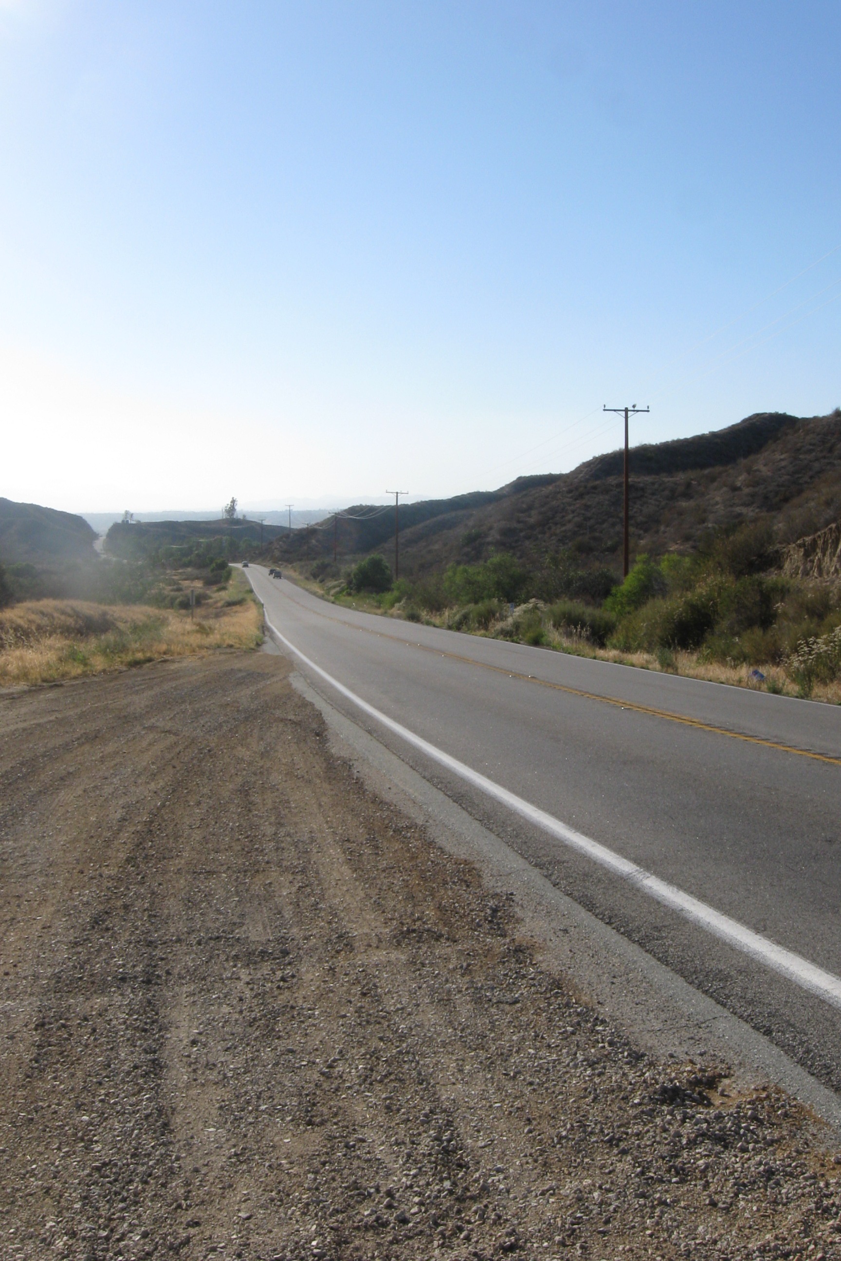
Pulling up out of Temecula
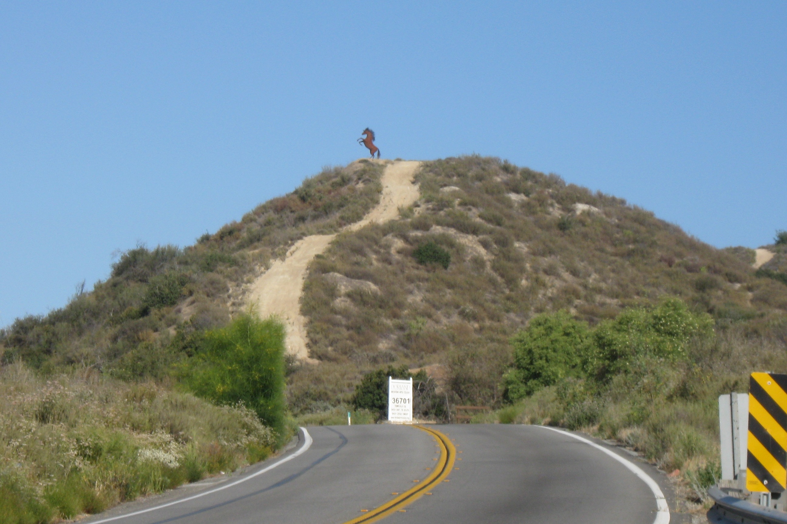
Metal stallion
About 3 miles into the trip you will see a metal stallion atop a hill. This is the work of Ricardo Brededa, a sculptor of some note. A mile later you will find one of his signature pieces, the stagecoach. A snake, an Indian and a burro line the other side of the road. Finally, about a half-mile later, you see Jett’s favorite: four horses leaping the road.
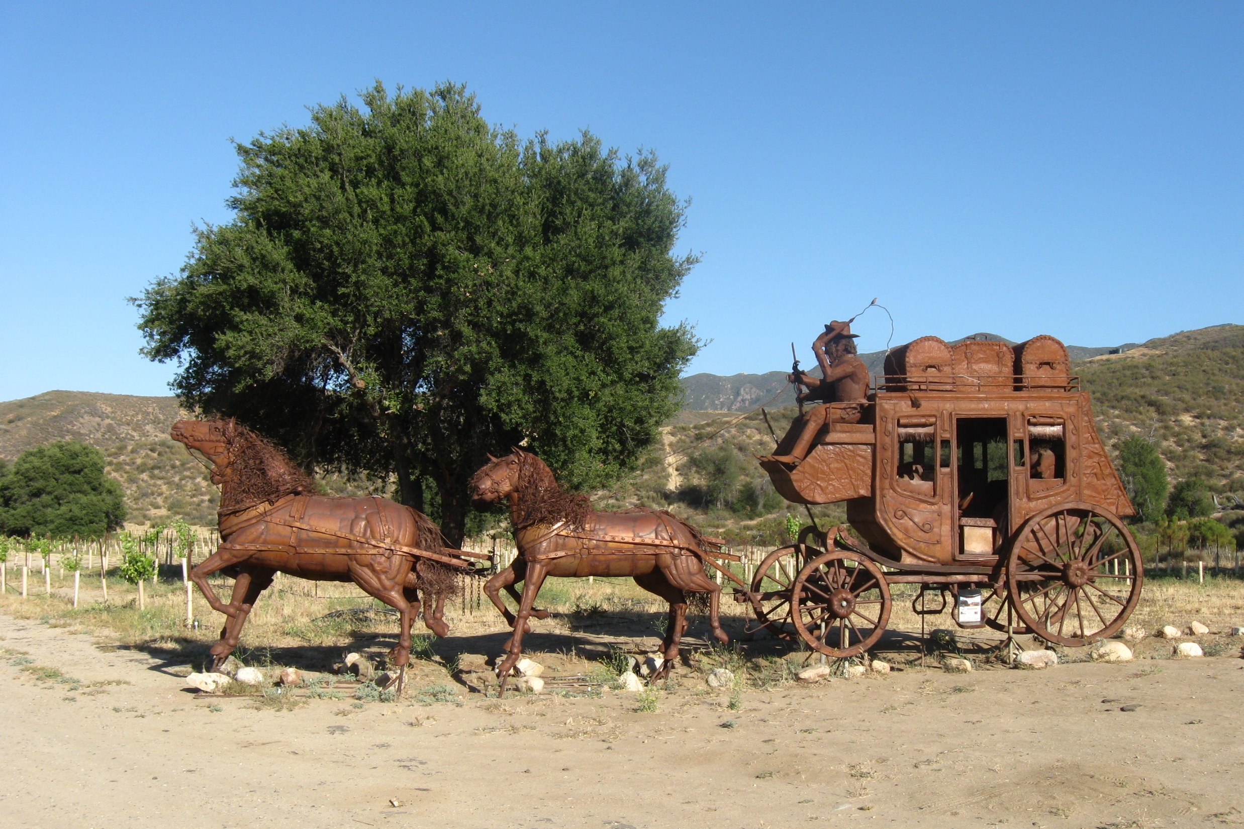
Stagecoach
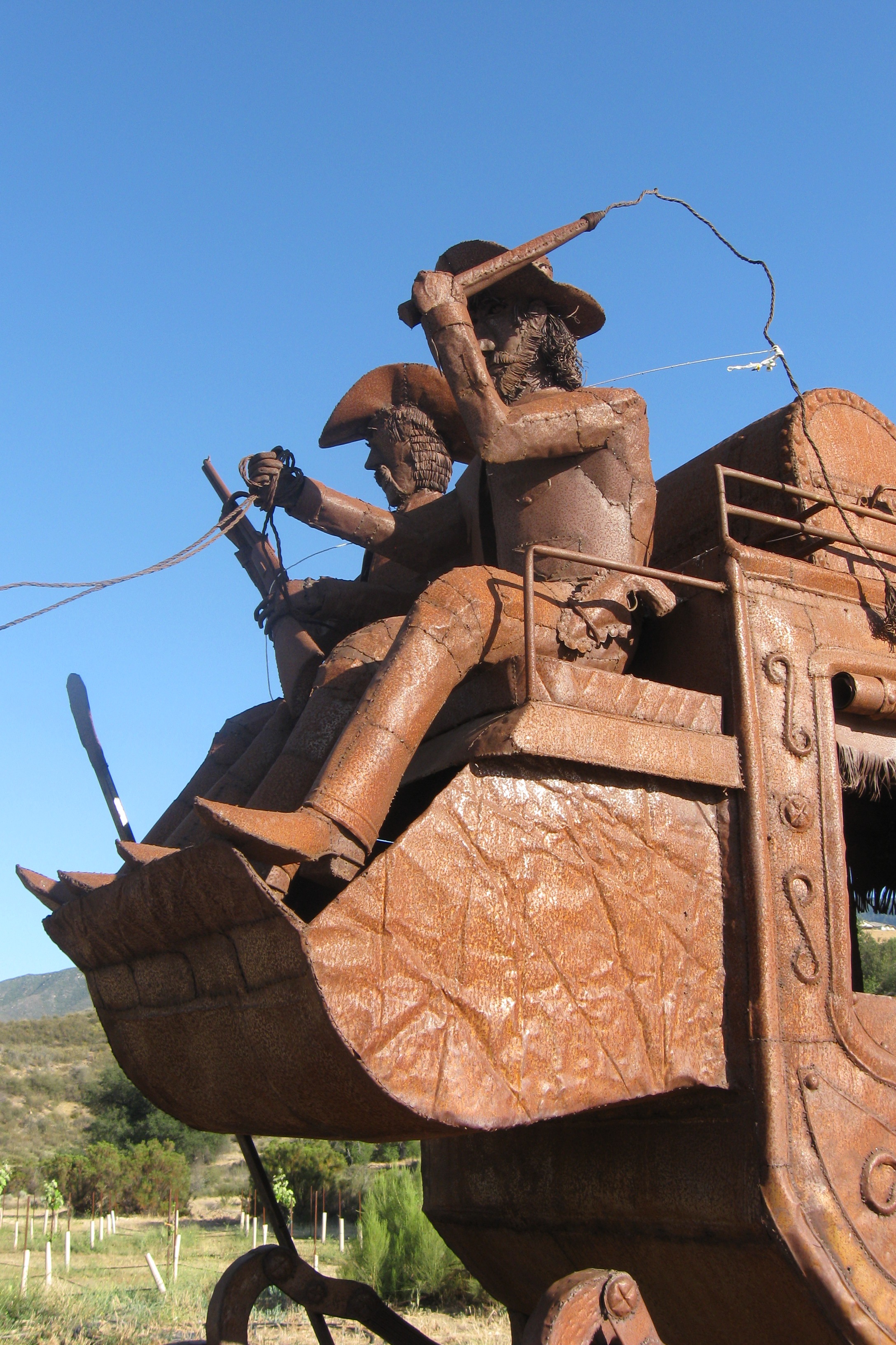
Driver and shotgun
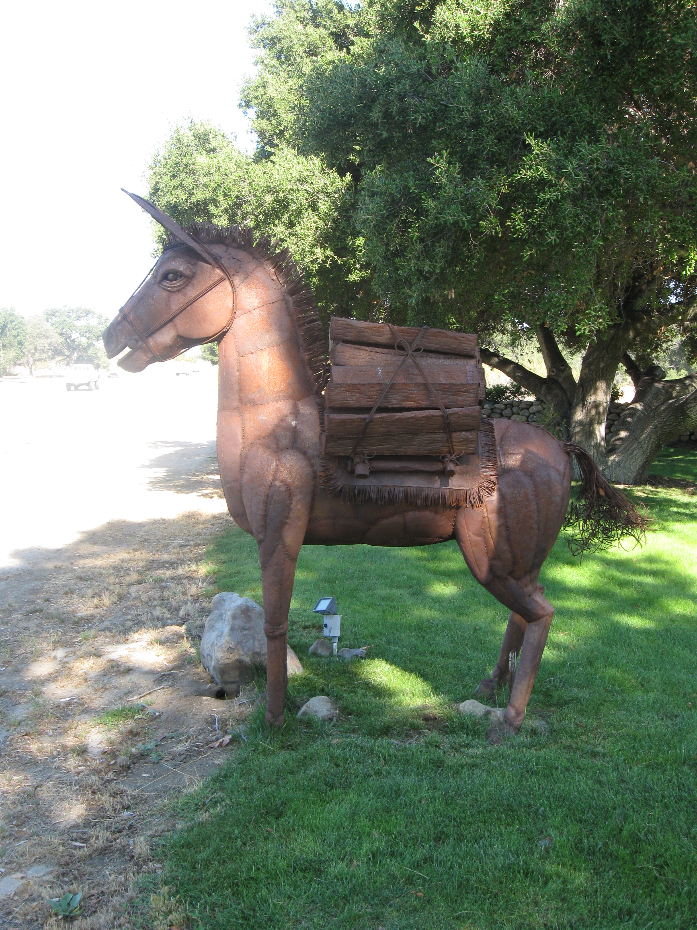
Burro
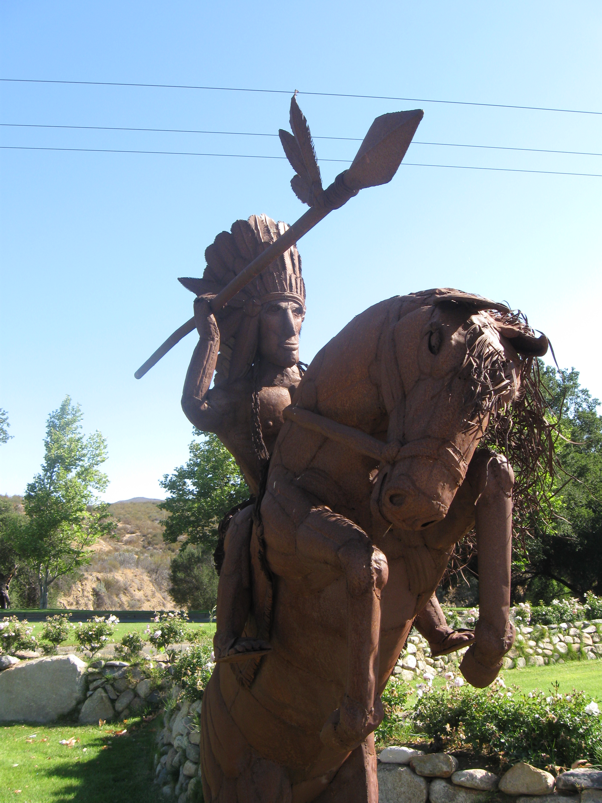
Indian
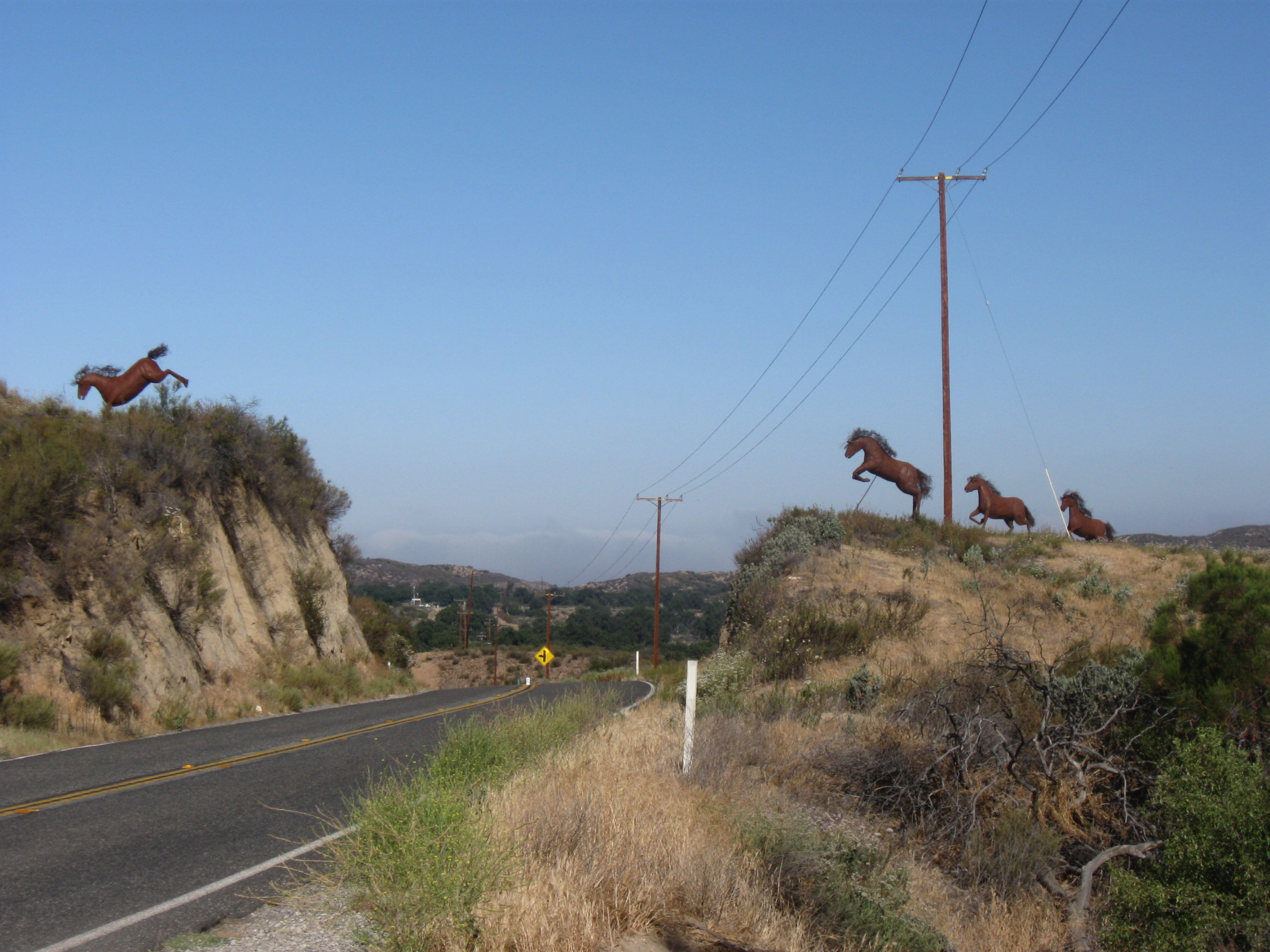
Four horses leaping the road
After the horses you drop down into a flat valley, home to the Vail Ranch. This was one of the great ranches of southern California, encompassing almost 90,000 acres in 1900. Now it is smaller and exists primarily as a small community around Vail Lake, an RV park and a venue for major events such as the Mud Run (a race through mud) and the Monster Dash (a Halloween race with costumed runners).
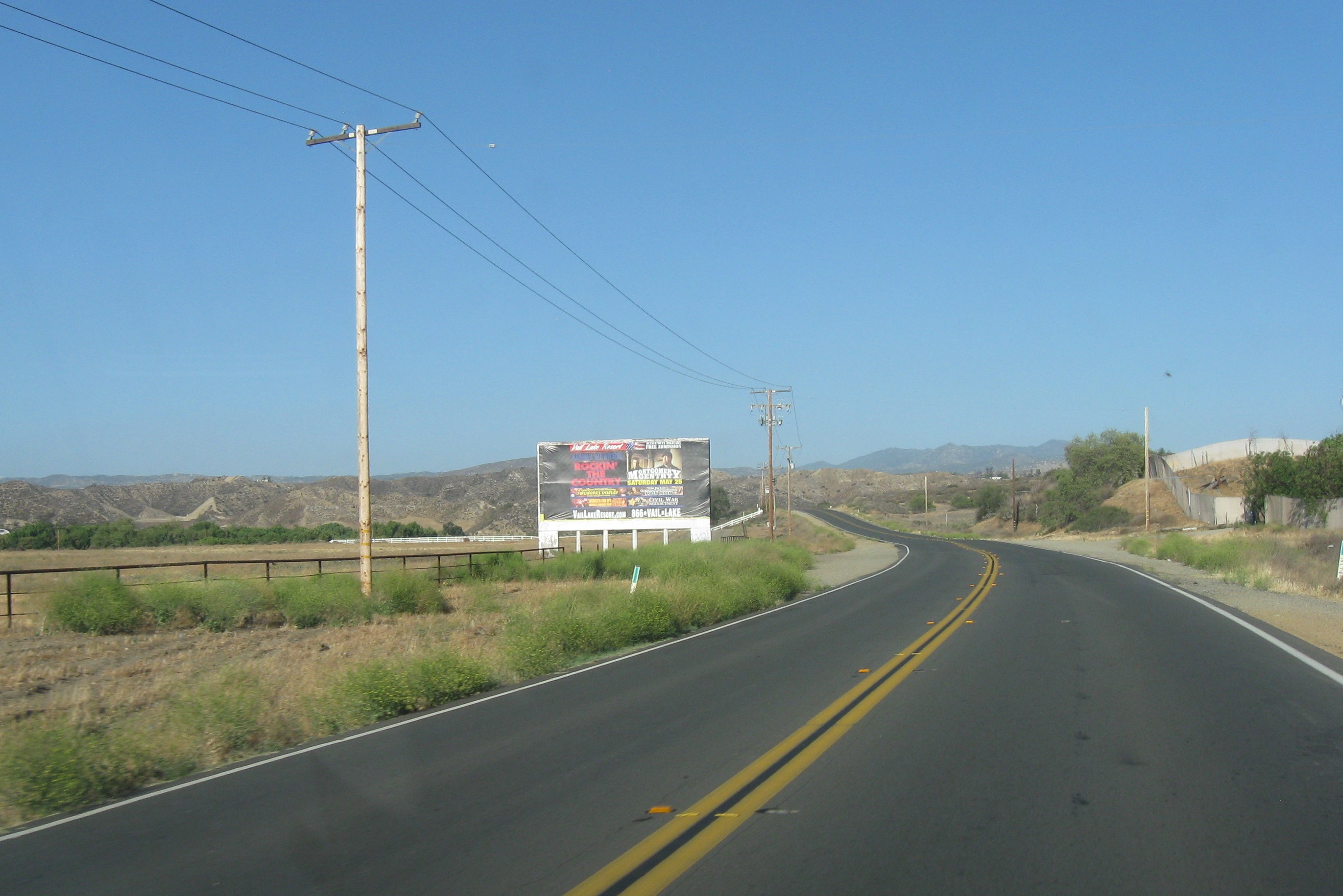
Entrance to Vail Ranch
The road rises out of the valley in a sharp S-curve, then drops down to the only “major” intersection – the terminus of county R3, the road to Hemet.
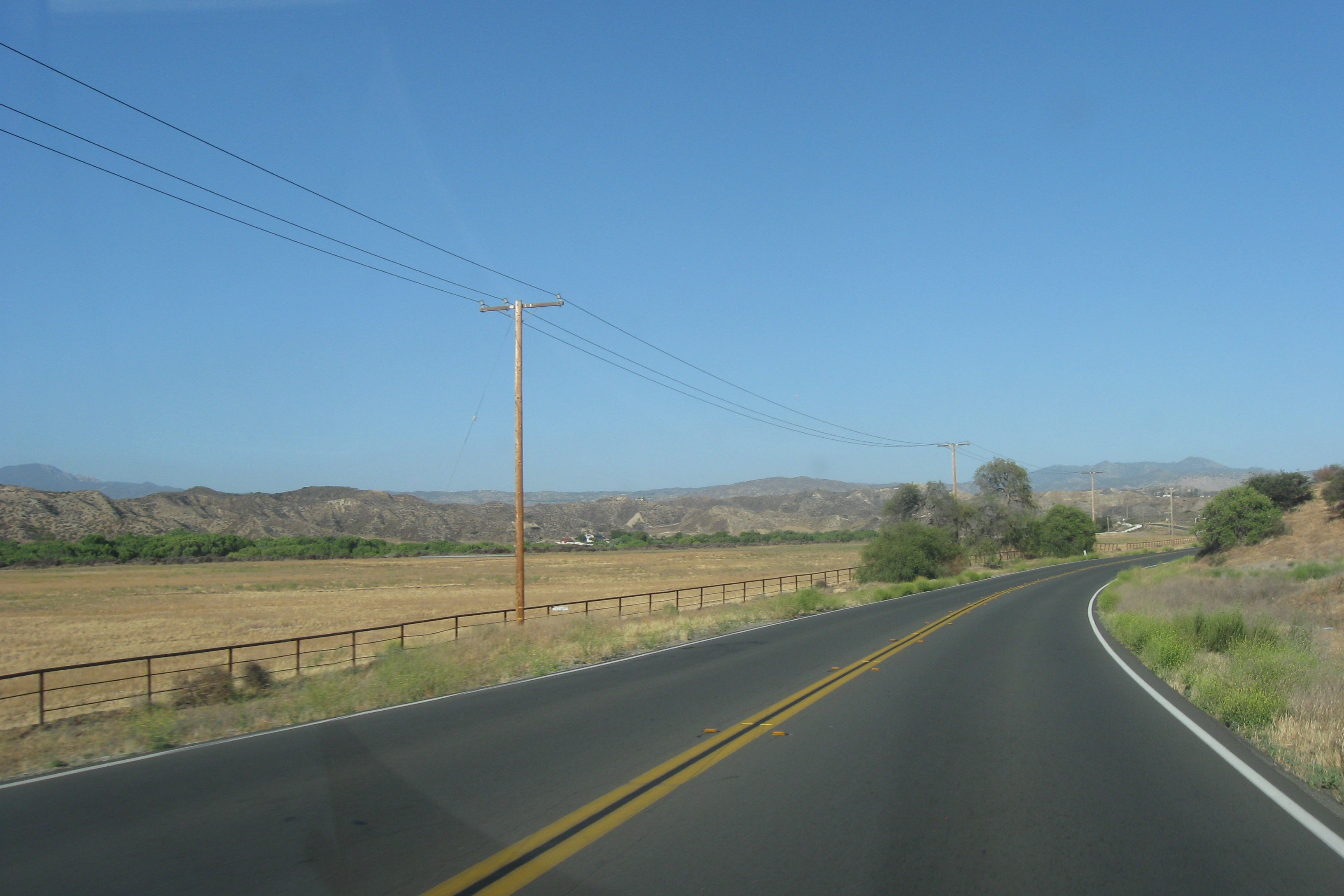
Vail Valley
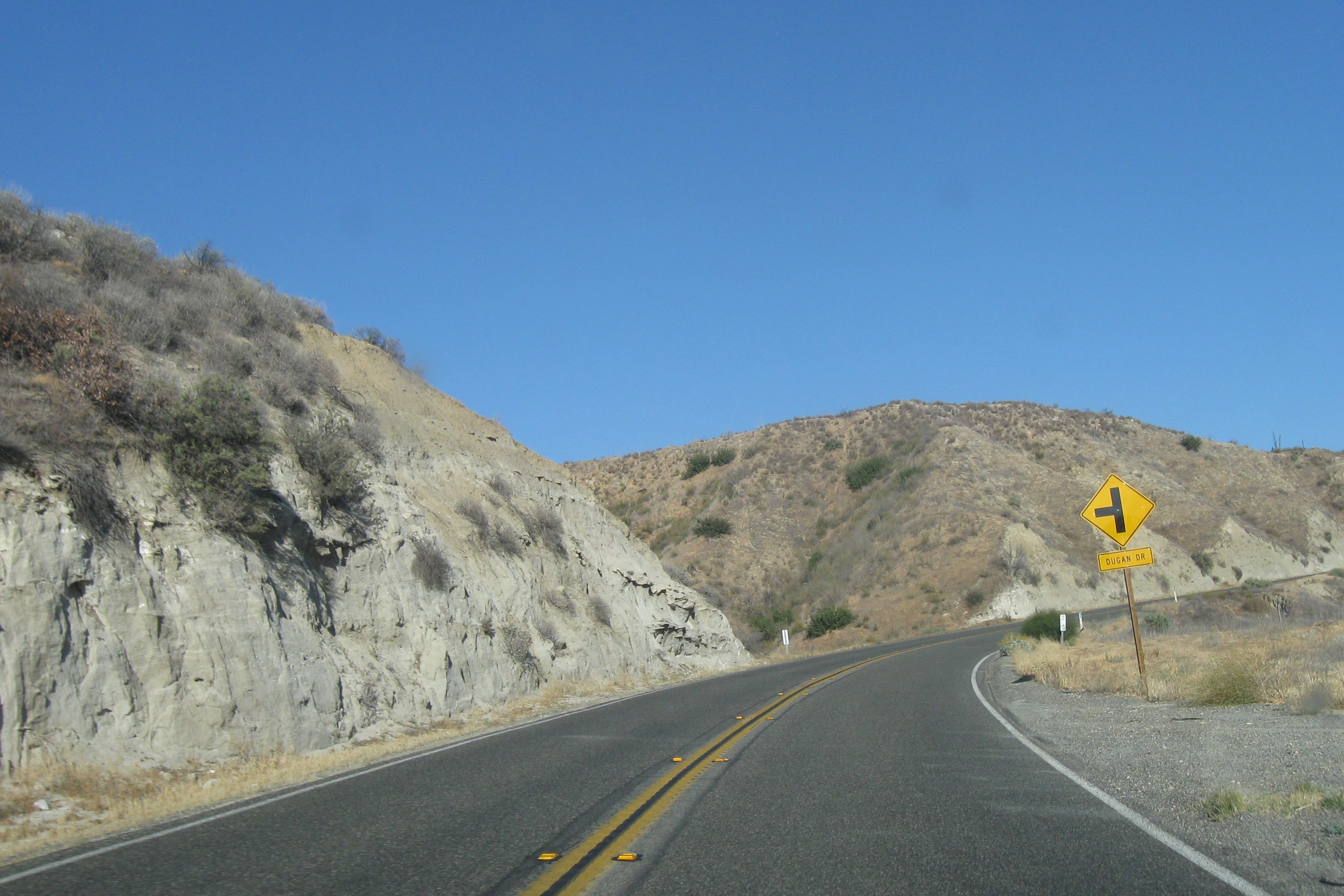
S-curve
The road rises again, goes through two sharp curves and then drops suddenly into another valley. As you go over the top, Palomar mountain, home to Palomar observatory, one of the world greatest astronomical observatories. The dome that houses the 200-inch Hale telescope is visible on the ridge of the mountains (see that little white spec?) as you drop into the valley.
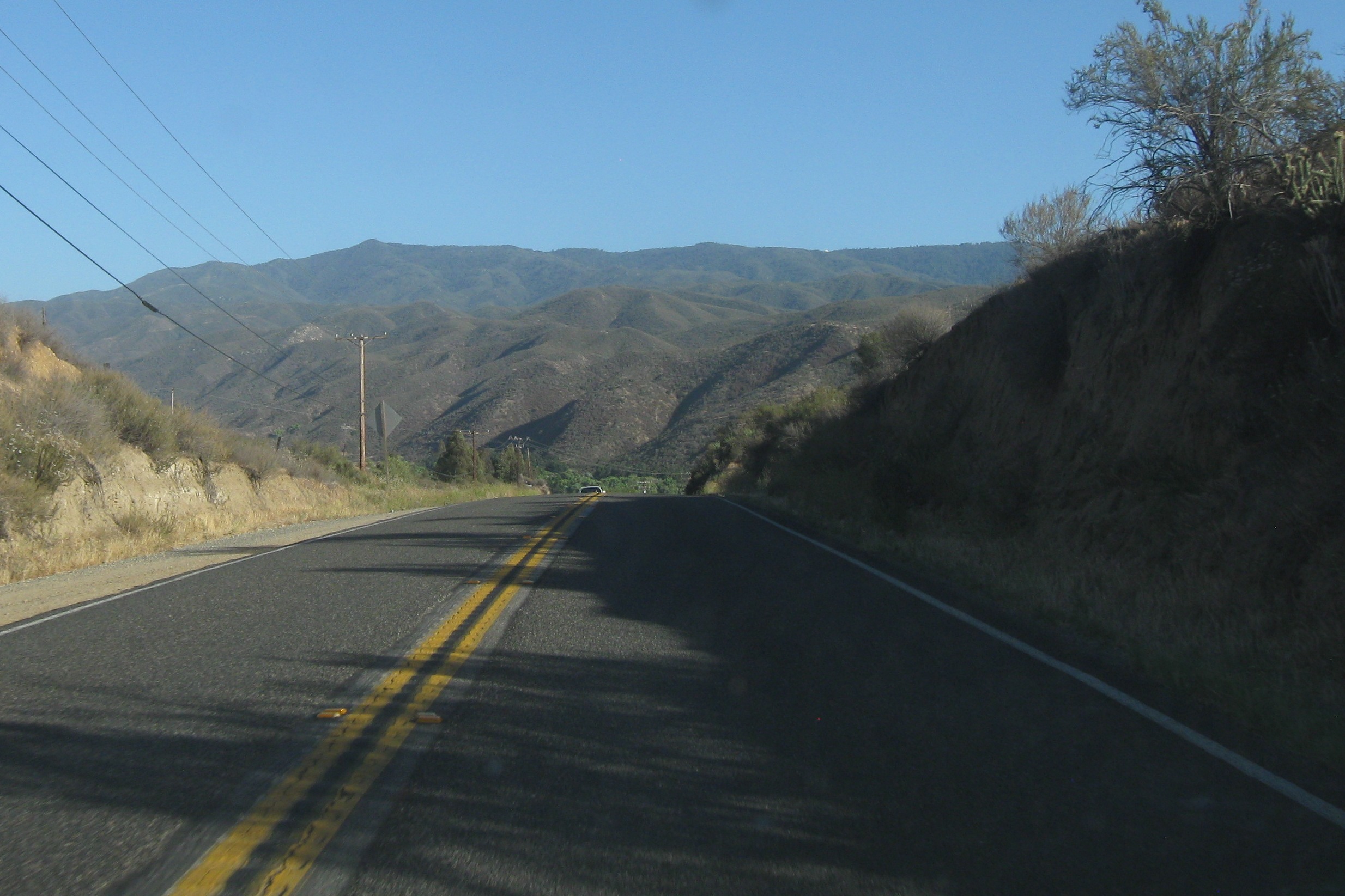
Palomar mountain and the observatory
The final four miles consist of the sharp curve at the Stagecoach Inn (where the food is surprisingly good), a flat stretch past the entrance to the Jojoba Hills SKP RV Resort and the Aguanga General Store and post office, to a stop sign and the intersection with CA 371, the road to Palm Desert, Indio and Palm Springs. About a quarter mile past the stop sign is the entrance to Rancho California.
Home. But only for another day.
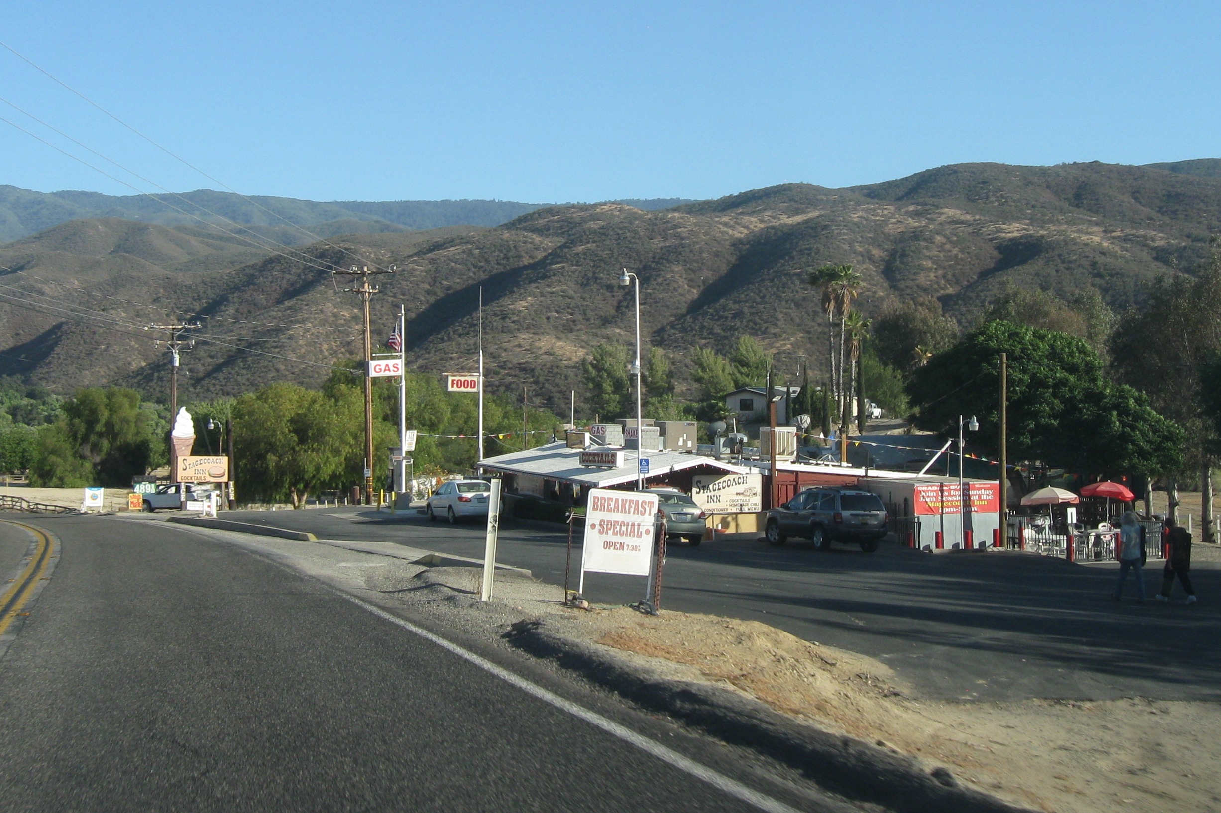
Stagecoach Inn
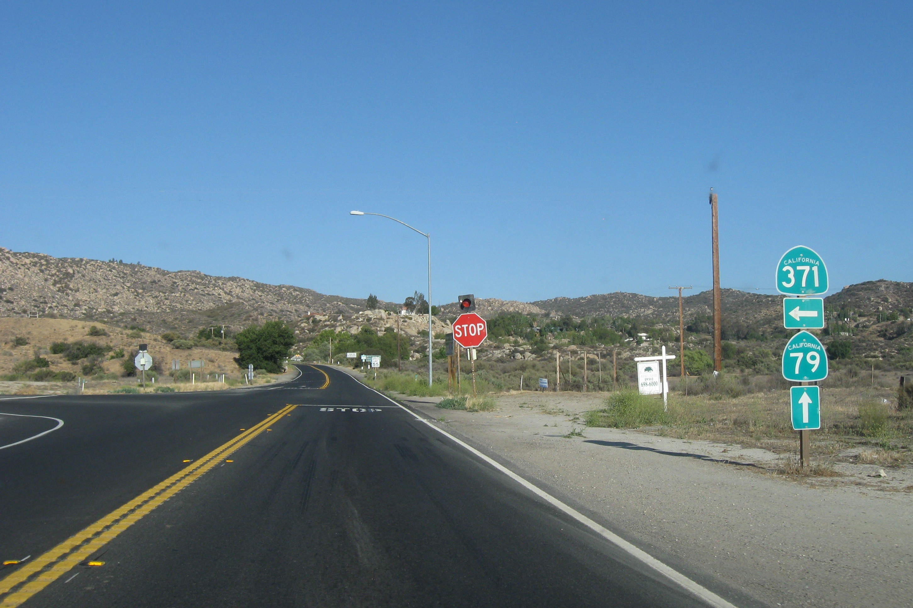
The only stop sign on the commute
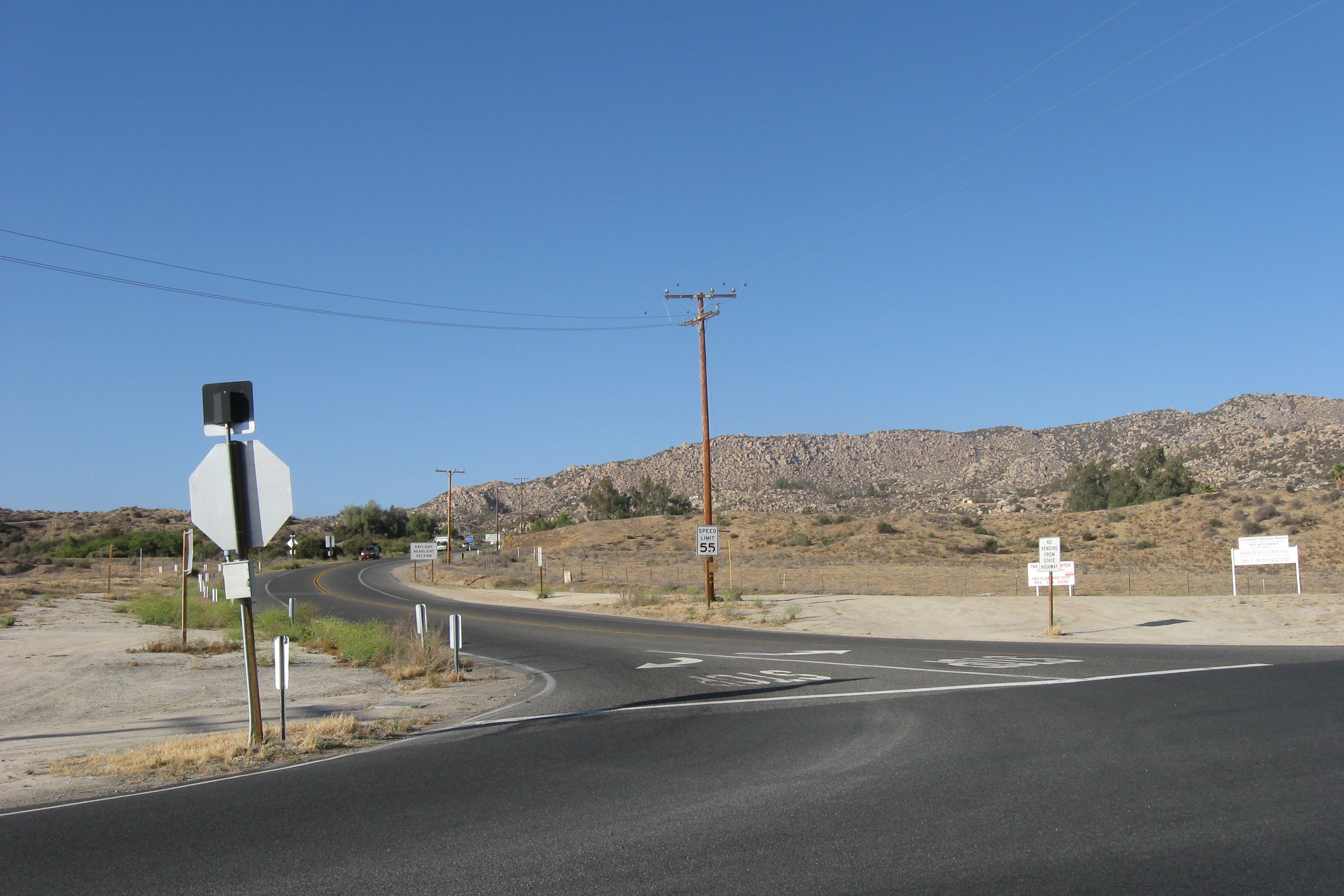
CA 371
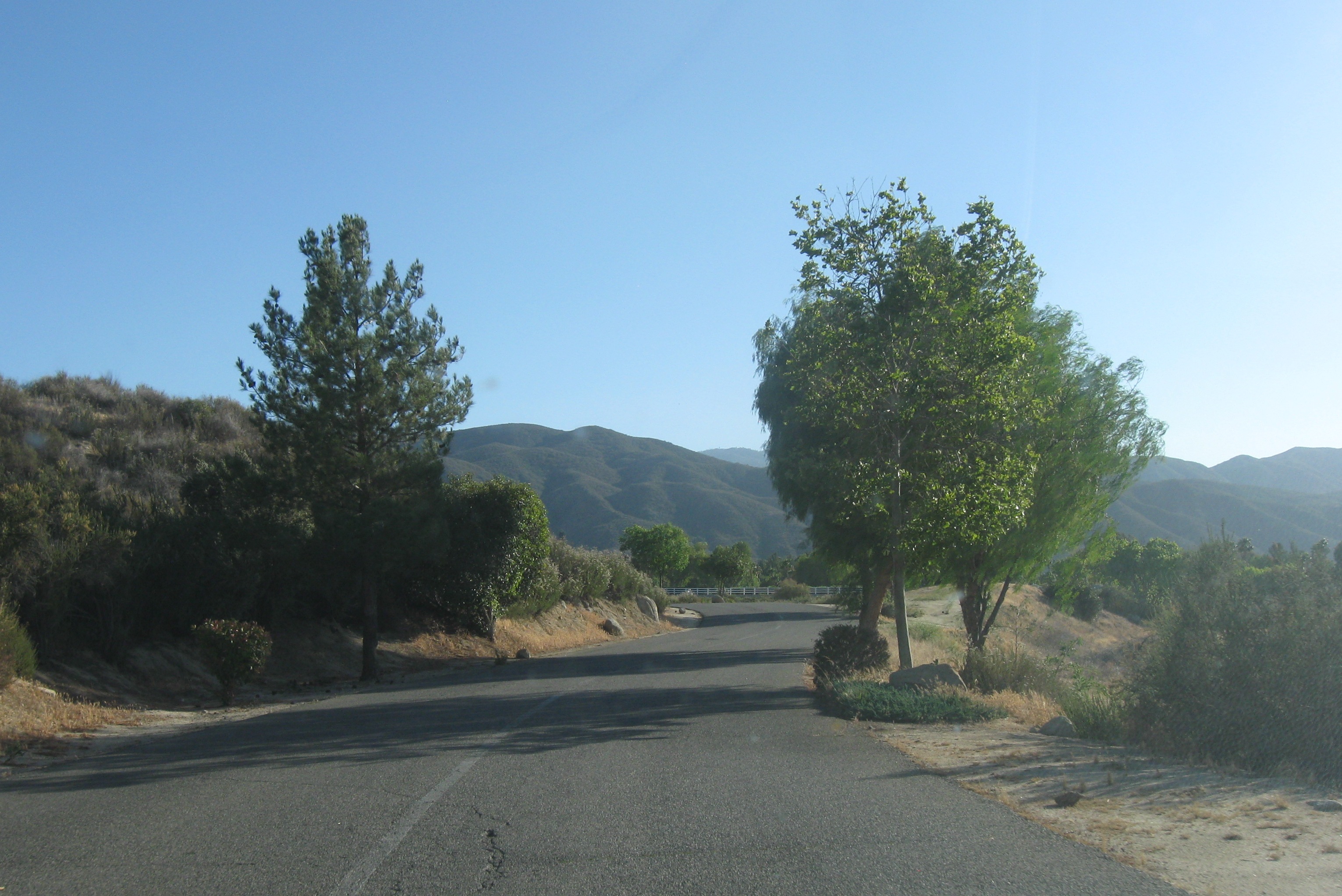
Rancho California driveway
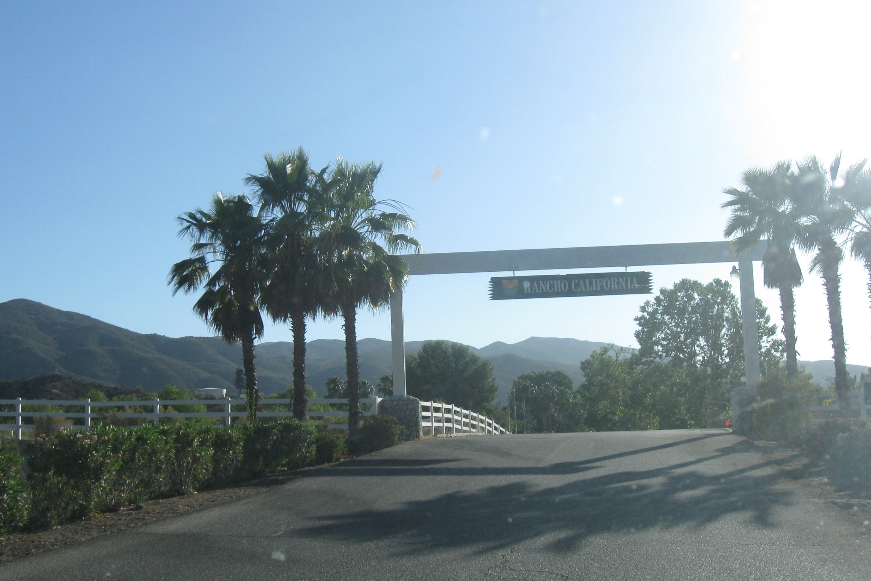
Entrance
Categories: CA, Places, Routes
Leave a comment
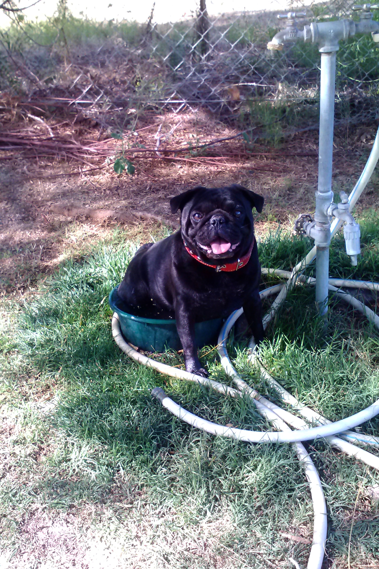
Ready and rarin’
We spent most of yesterday preparing for the QTE: adjusting tire pressures, verifying that the slides still work, checking the rig’s lights, securing the ladder and cleaning up the patio area for our final inspection. I discovered a couple of minor problems with Patience: the sheathing covering the rear holding tanks was pulling away from the chassis a bit and there is a small hole in the fiberglass on the left rear corner – probably an unnoticed consequence of my first ding, way back in NH in October last year.
So once I fix the sheathing and fiberglass hole (just an hour’s work, I think, but I need some stuff from Home Depot) we will be ready to go. We hope to be on the road by 9am Saturday. 8am if possible, to avoid the heat. I checked the Saturday forecast for Palm Springs and Lake Havasu City: highs of 110 and 115, respectively. I think we are going to find out if there is a temperature that is too hot for Jett.
The Saturday segment is relatively flat, so, though it will be hot, it will not stress the engine. But the second day, to Williams, AZ, will be a long, uphill climb. If it is over 100 degrees for that segment I will have to watch the oil and coolant temperatures carefully.
After that we only have to worry about tornadoes. Oklahoma City seems to be the bulls-eye this year and we all know how much tornadoes like to eat RVs as appetizers. We are just going to cross our fingers and hope for the best. Jett has prepared a tote labeled “Evacuation Kit” in case we need to vacate the RV and seek shelter.
And she never made it past Brownie.
Categories: QTE
Leave a comment
San Diego
When I destroyed my new camera while stupidly wading into the Cabo surf with it still in my pocket, I thought that the photos on the memory card would be intact. But I failed in several attempts to read the files from the card. Then I lost the card. After being on the damn-I-wonder-what-I-did-with-that list for several weeks, I had pretty much given up on ever viewing those images again.
Then, last week, as I was preparing to leave my office, I noticed a receipt that was half hidden where the cushion met the arm of the armchair that I use at my desk. I grabbed the receipt, then started wondering if anything else was lost in that crevasse. I put my hand down and felt something that felt like a coin. But it wasn’t a coin, it was the missing memory card. Figuring this was my lucky day, I put the card into the SD slot of my desktop machine, to make one last attempt at recovering the photos. At first, nothing. Then I jiggled it a bit (word to the wise: when in doubt, jiggle) and – voila! – the Windows Explorer window popped up, indicating that the machine recognized the card as a storage device. So, still putting pressure on the card with my right hand, I reached into my pocket with my left hand to get the thumb drive that I had with me that day. I inserted the drive and, hunt-and-pecking with my left hand, instructed the computer to download the photos to the thumb drive.
It did!
So, belatedly, I can describe, with pictures, the very nice day trip that I took with my brother-in-law Ray to San Diego the day before Jett and I flew down to Cabo.
Our route took us up CA 79 into Temecula (my daily commute), then down I-15 to CA 78 which we took over to Oceanside and the Pacific Ocean. From there we followed the coastal route down through Carlsbad, Encinitas, Cardiff, Solana Beach, Del Mar and Torrey Pines to La Jolla and San Diego. Along the way we made several stops to enjoy the view and to have a wonderful lunch in La Jolla Shores. Once we got to San Diego we meandered a bit and finished up with a quick trip to Balboa Park. We came back up I-15 to Temecula and topped off the day with a snack and some craft brews.
Our first stop, after enjoying the drive to and through Oceanside, was Carlsbad Beach. The is a sandy white strand that is bordered on the south by cliffs and the Carlsbad Campground. If we were hauling a smaller fifth wheel, I would love to spend some time camped out on the cliff overlooking the ocean. Unfortunately, the maximum vehicle length permitted in this campground is 35 feet. I guess we could saw off 4 feet…
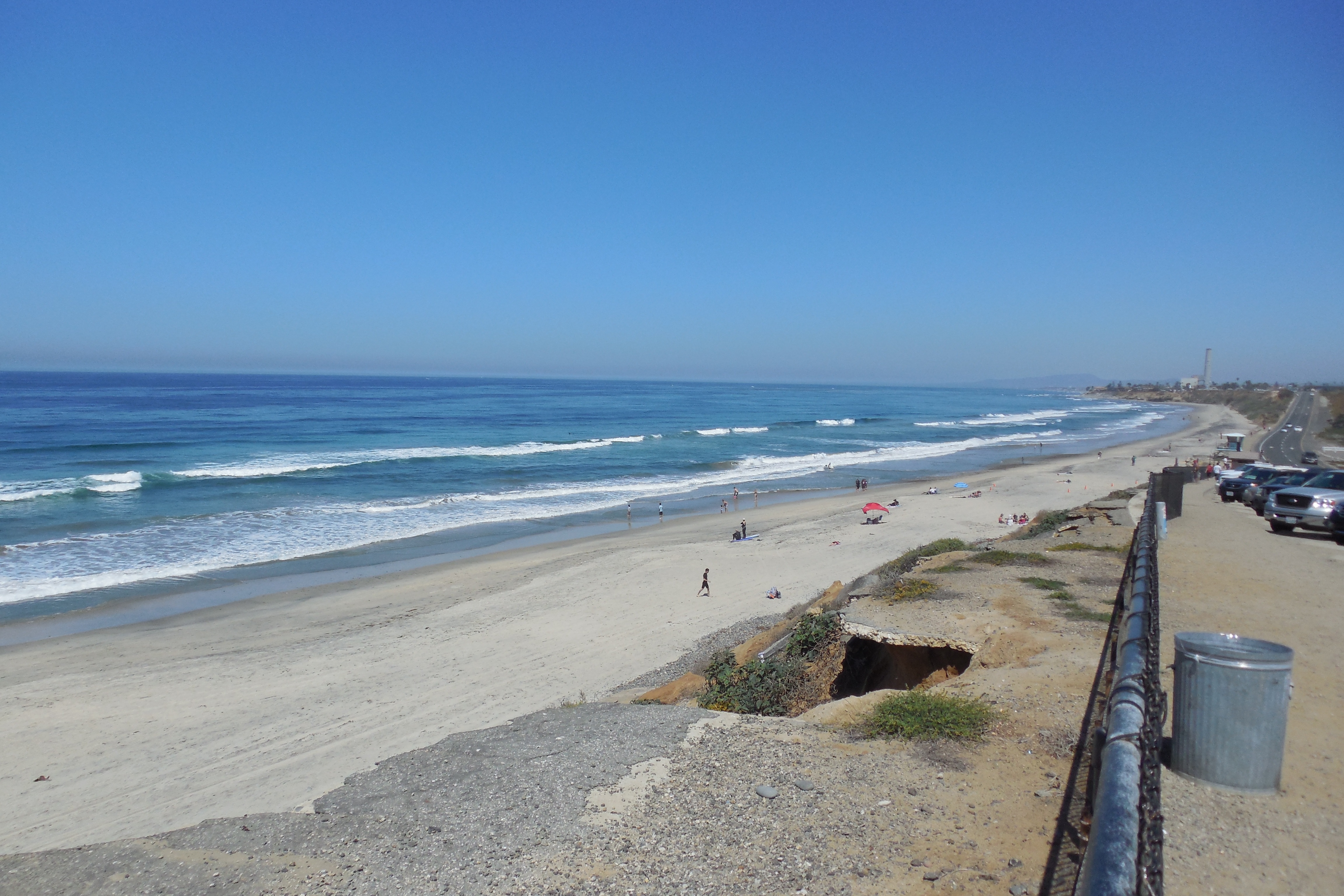
Carlsbad Beach
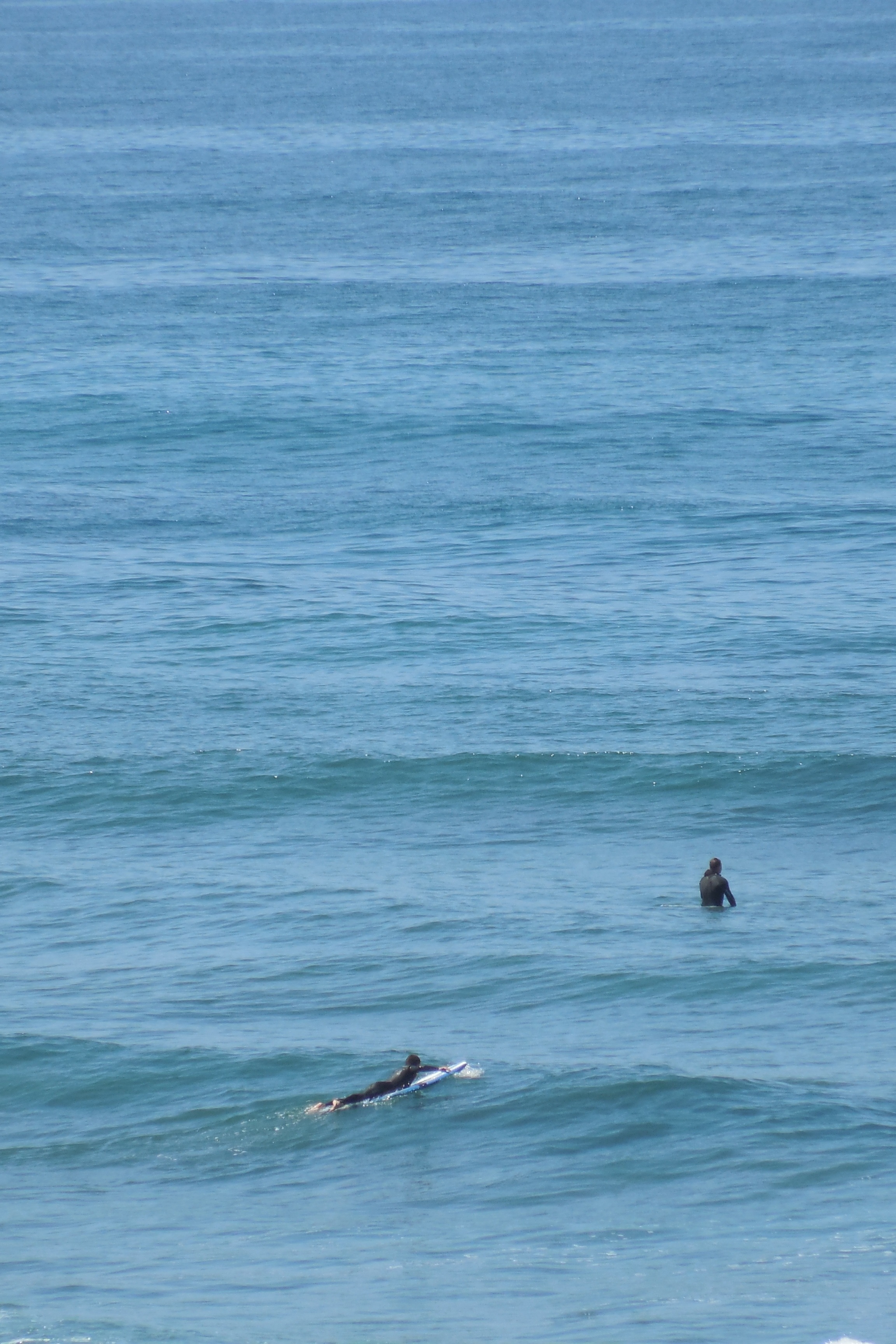
Surfers
We were entertained here by the surfers and the a ground squirrel. Yes, a ground squirrel – a squirrel that burrows rather than climbs. A California adaptation, I guess, as there are so few trees in southern California.
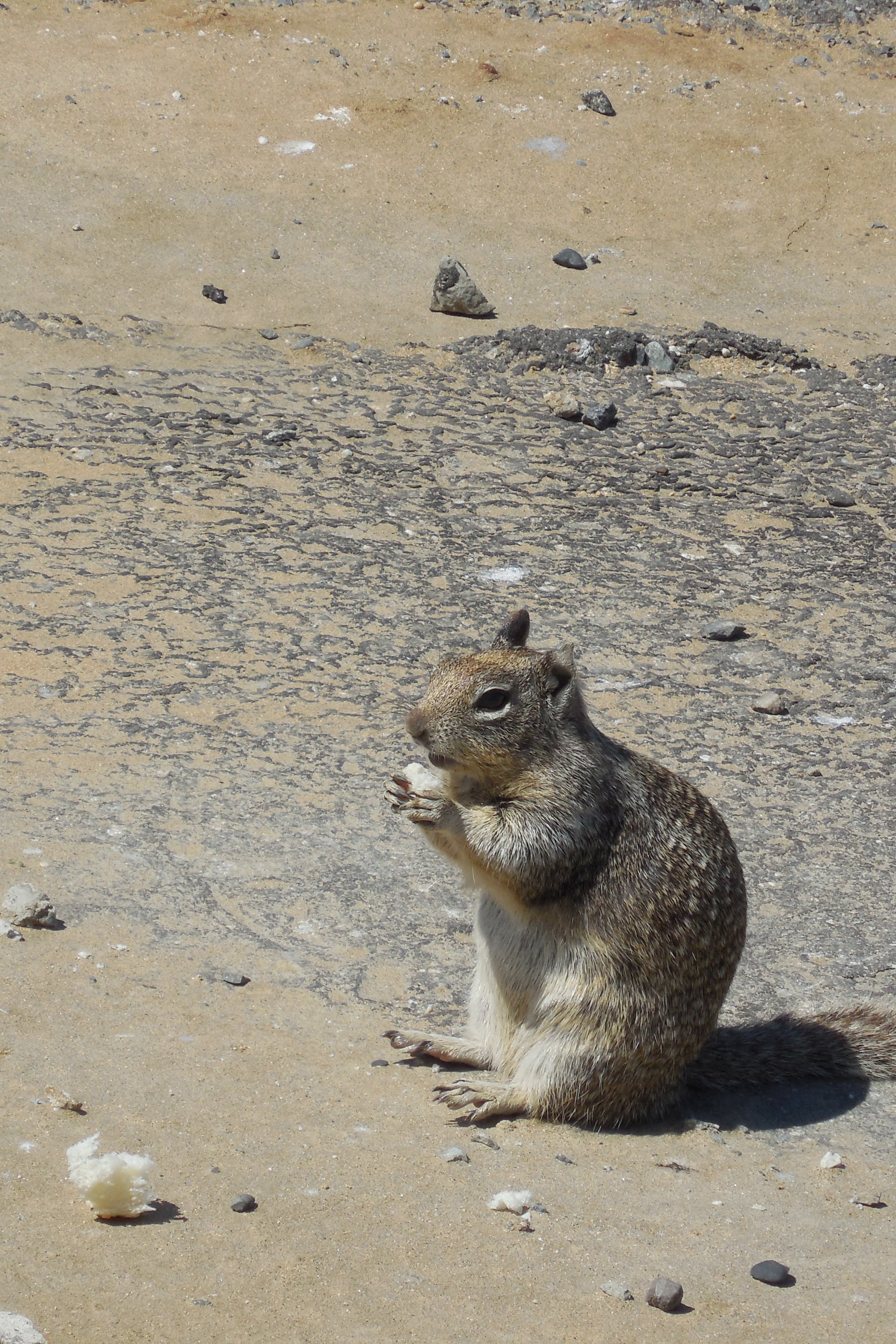
Ground squirrel
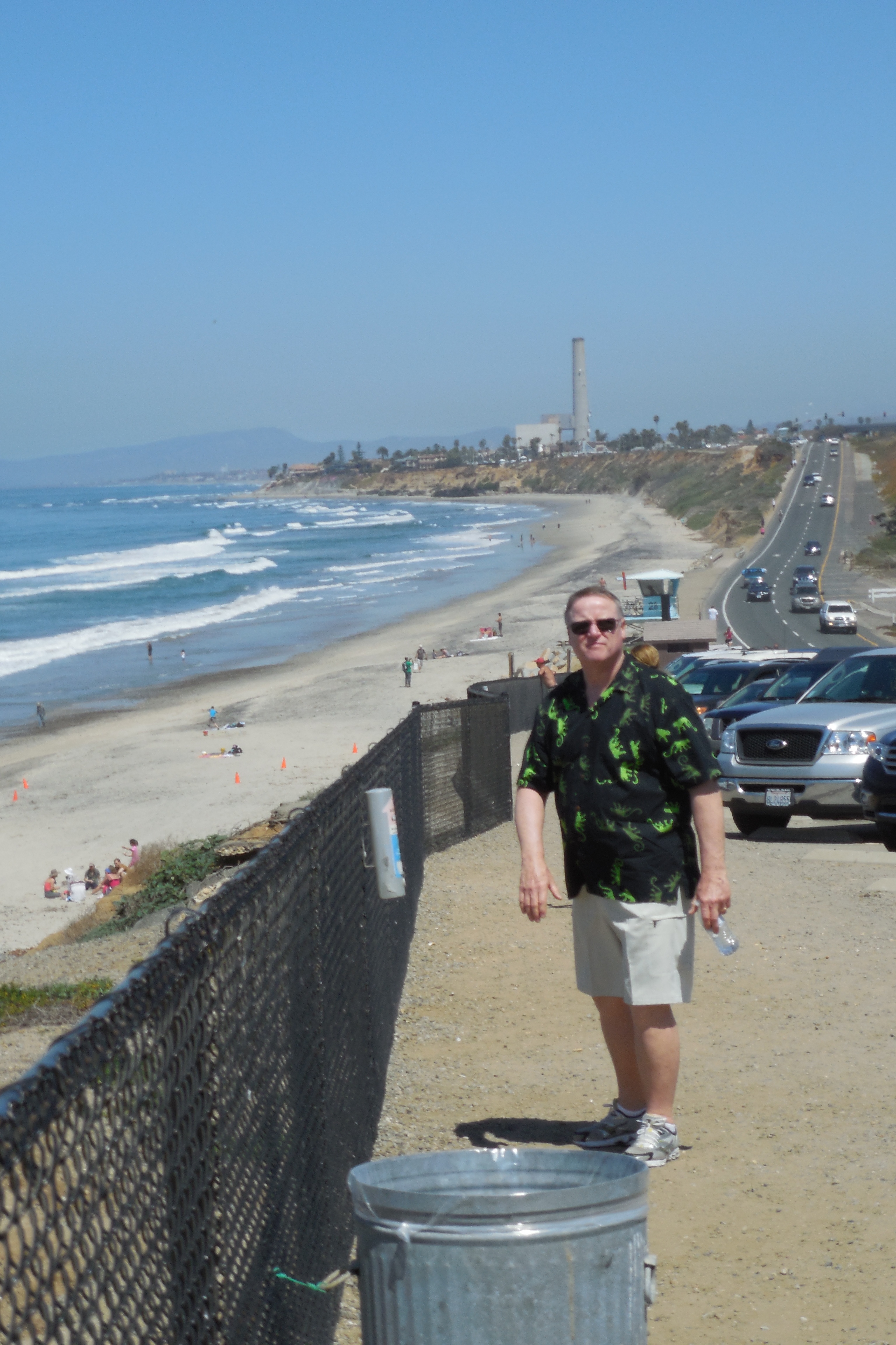
Ray
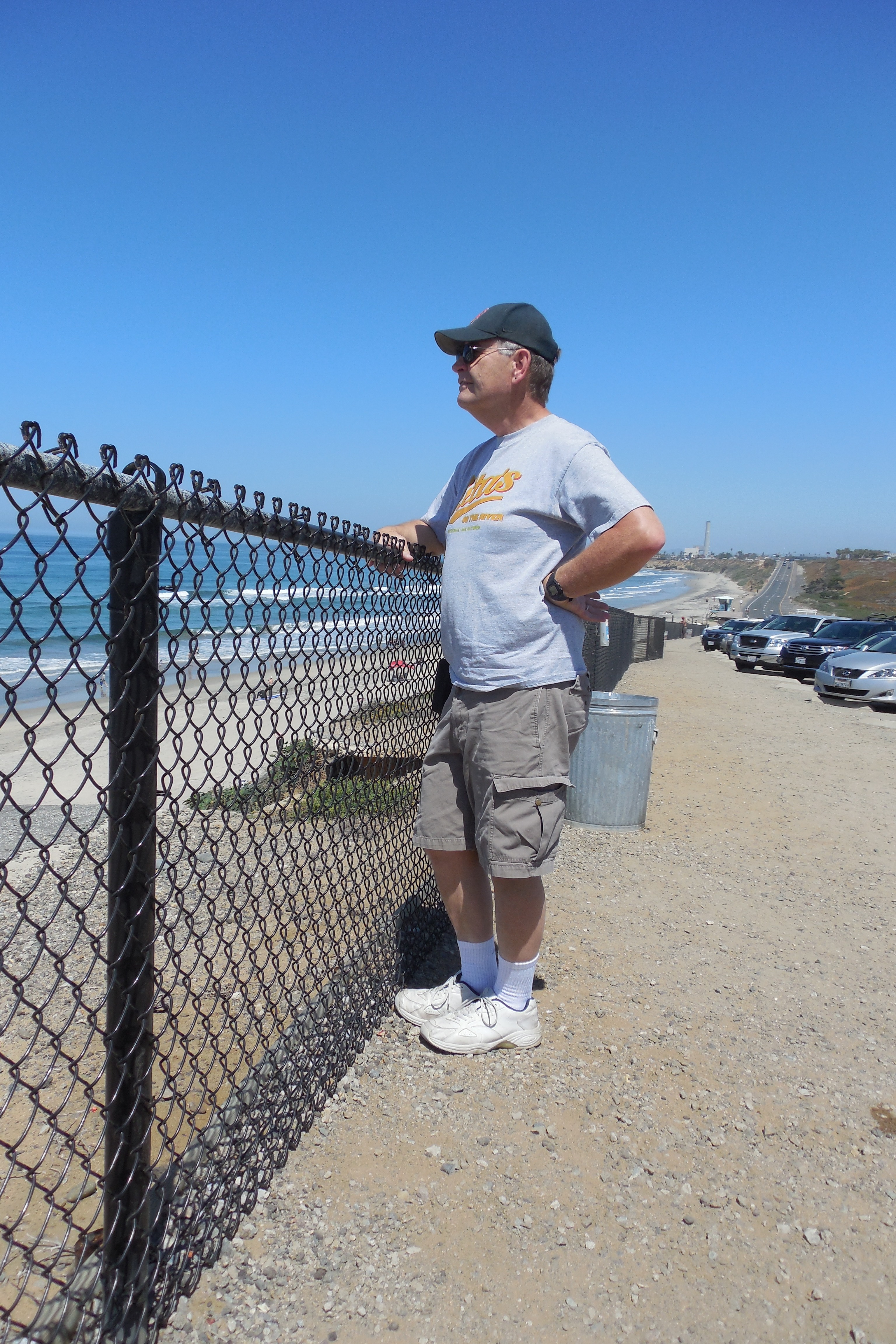
Sparky
The wonderful lunch was in La Jolla Shores, a little beach community just north of La Jolla. I can’t find the name of the restaurant now, but I can point it out on a Google satellite view – it is the one on Avenida de la Playa that has a large courtyard. The staff was wonderful and the food was delicious. It was also fun watching all the surfers going by. Viva la bikini!
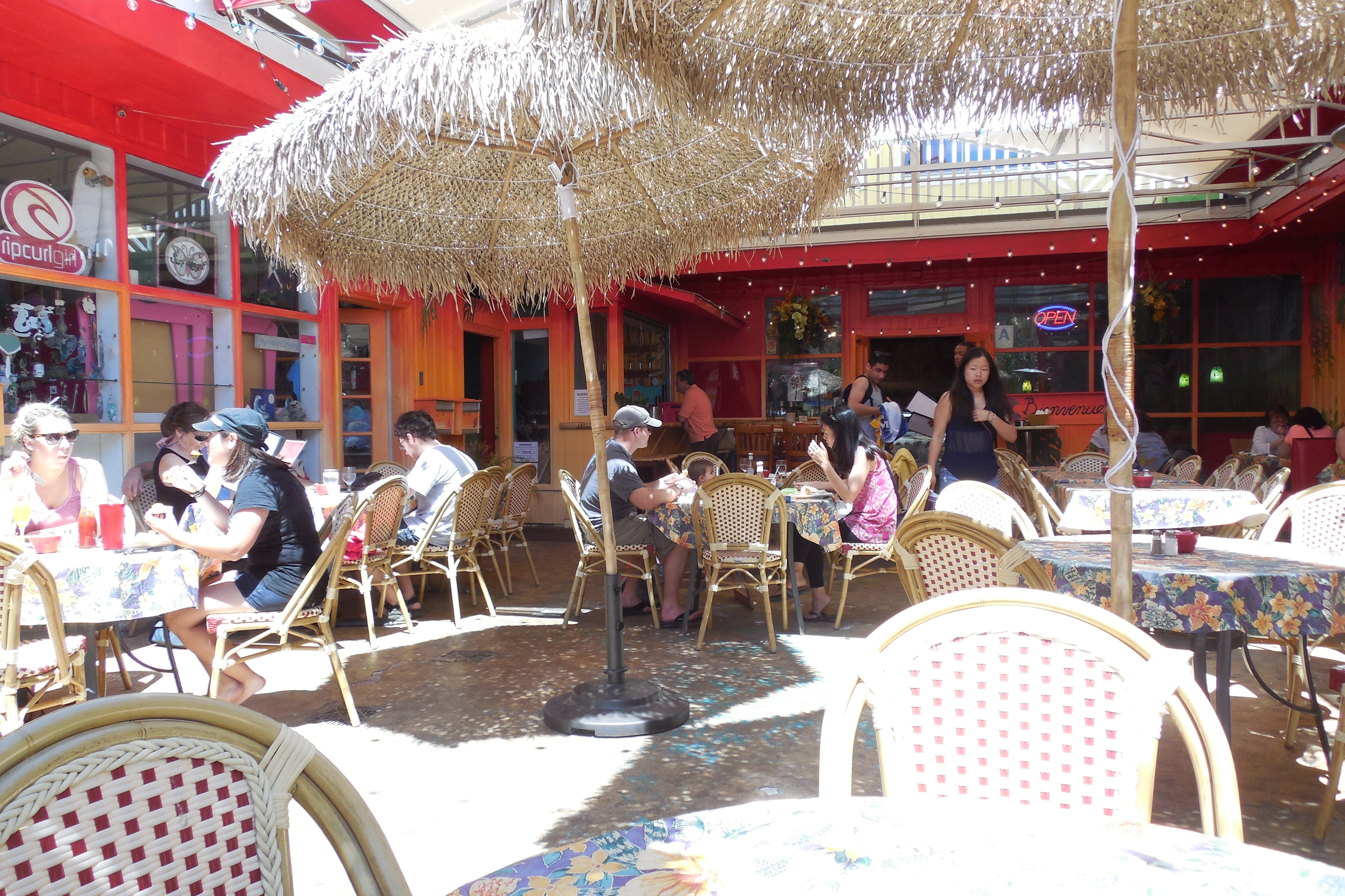
Lunch at La Jolla Shores
We shared the shore road with participants in the Ragnar Relay Race, a 200-mile multi-day fundraising road race from Huntington Beach to San Diego.
The approach to San Diego La Jolla is spectacular – we got a wonderful elevated panorama of Mission Beach.
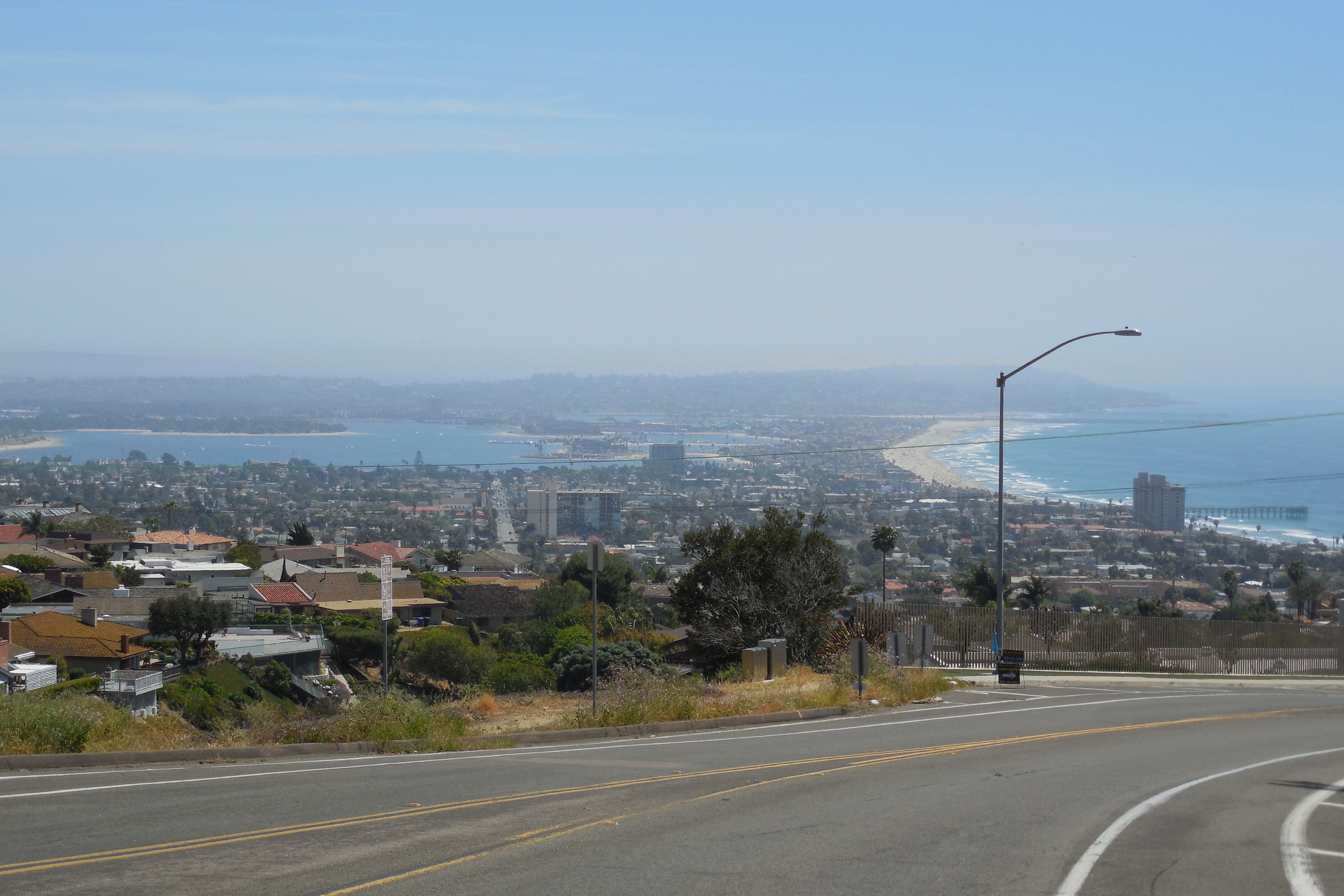
Mission Bay
San Diego is a beautiful city, but one of the most striking things about it is the location of the airport – right on the ocean, right next to downtown. Planes approach flying low over Balboa Park with the downtown about a quarter mile away on the left. I thought Logan was close to downtown Boston, but if it is an arm’s length away, San Diego’s is kissing the cheek.
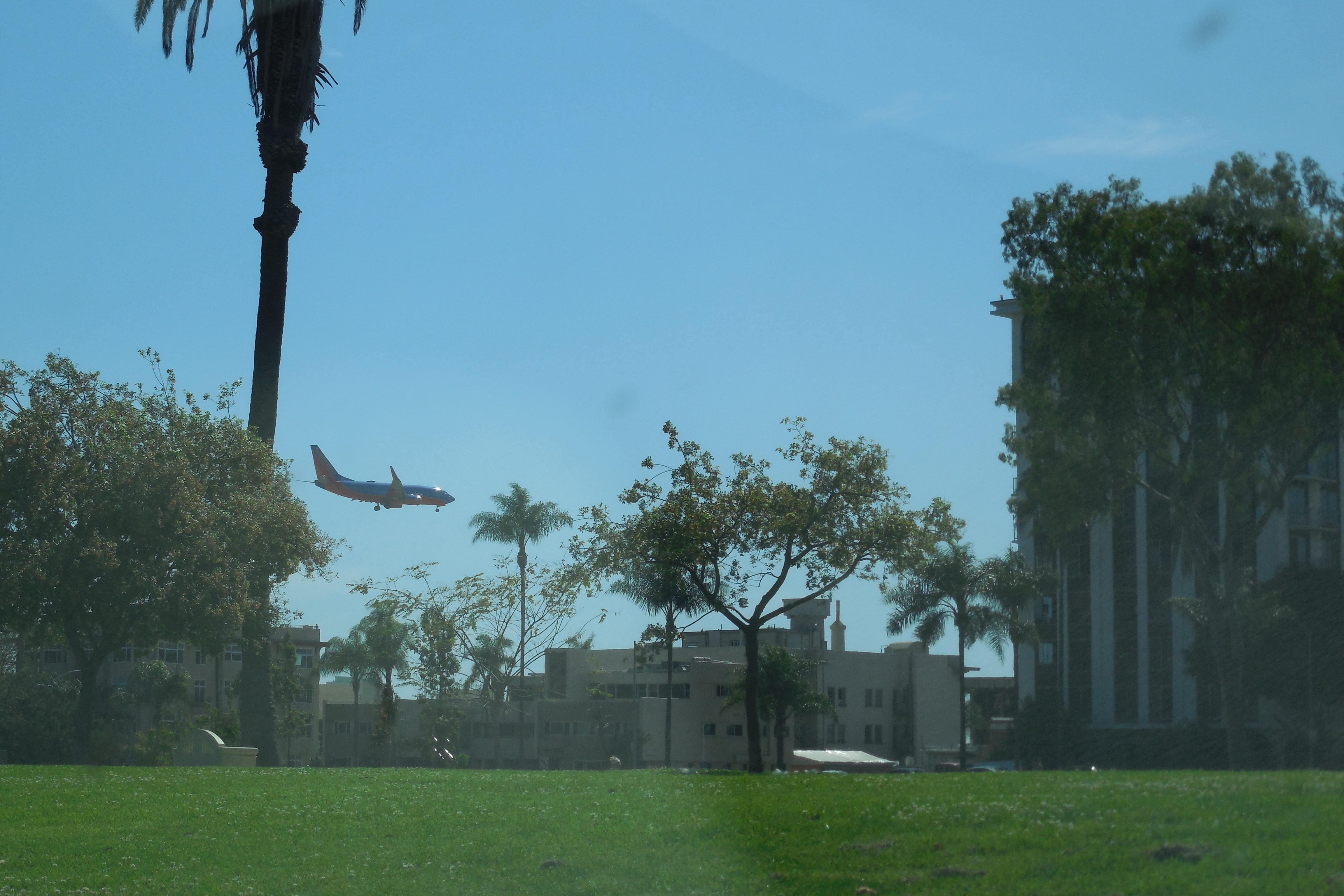
Final approach
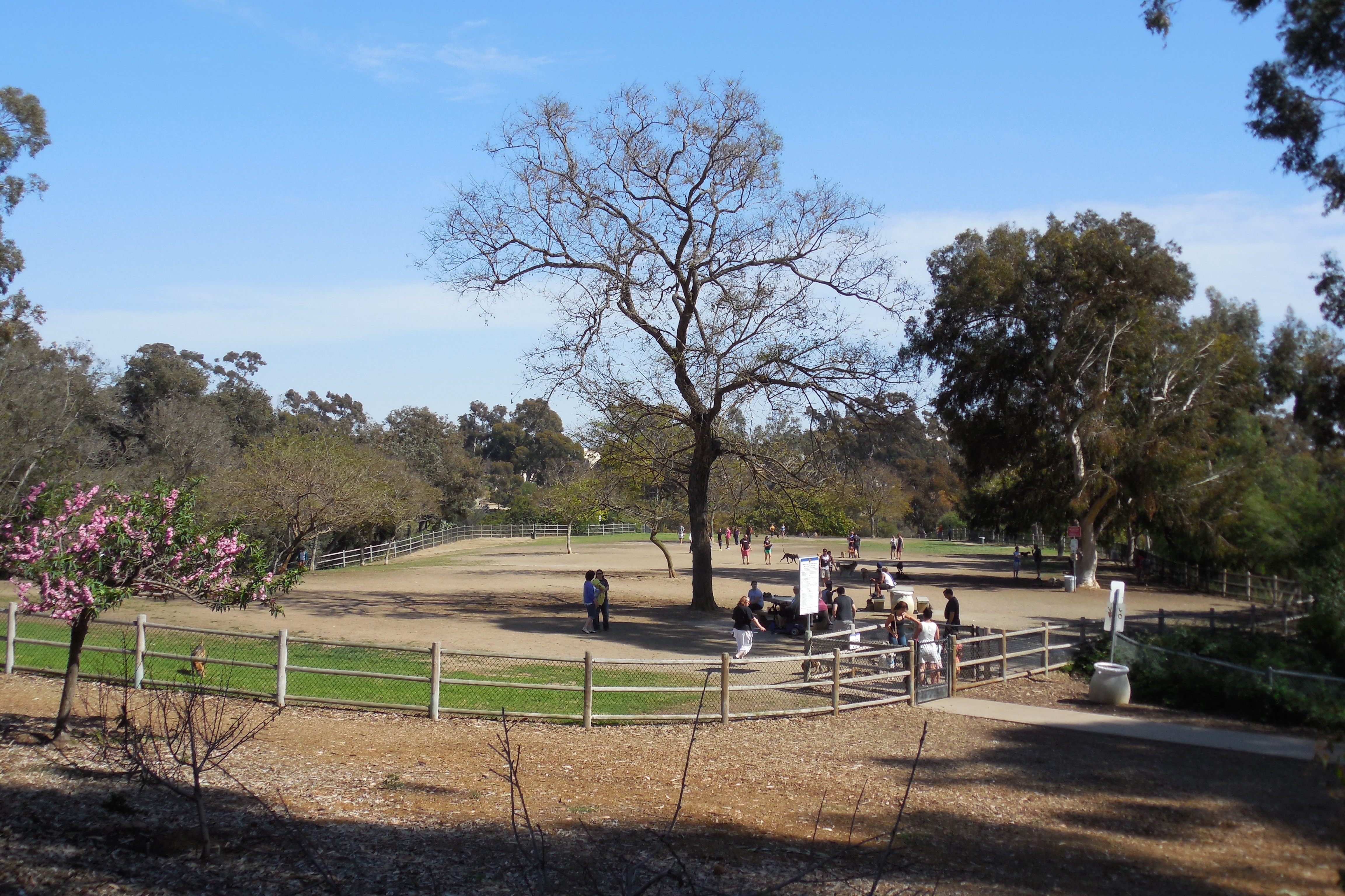
Dog park
Balboa Park is a gem. I think I mentioned this before, when I reported on a trip to the San Diego Zoo. This time we came in a different way and saw things I had not seen before: a HUGE dog park, some wonderful buildings and a great serenity garden with one of the widest trees I have ever seen.
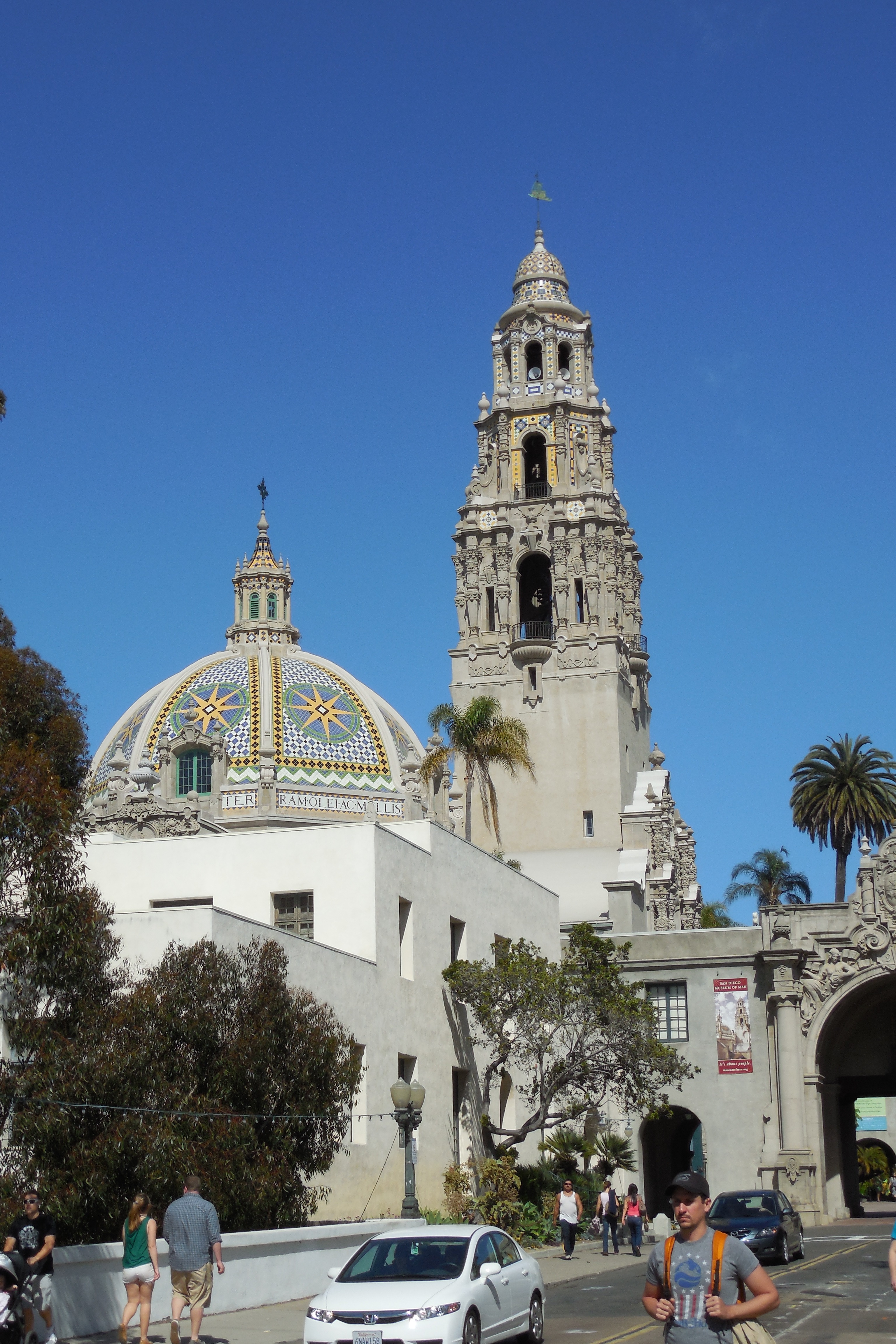
Visitor center and museum
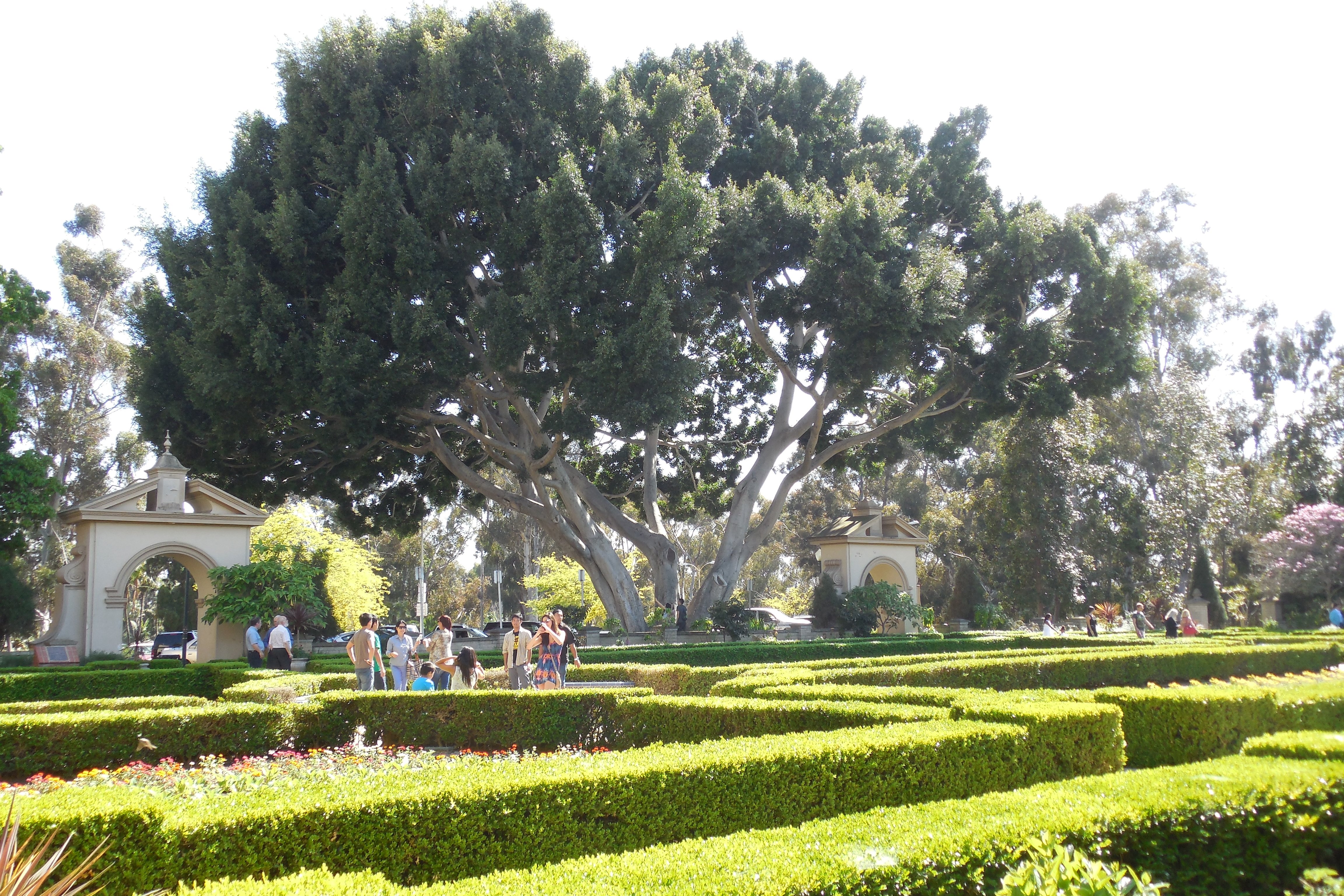
Mega tree
We finished the day at the Crush & Brew in Temecula. Ray had a flight of four craft beers which he declared to be excellent. I had a local ale. We shared some cheese and crackers. A nice end to a nice trip.
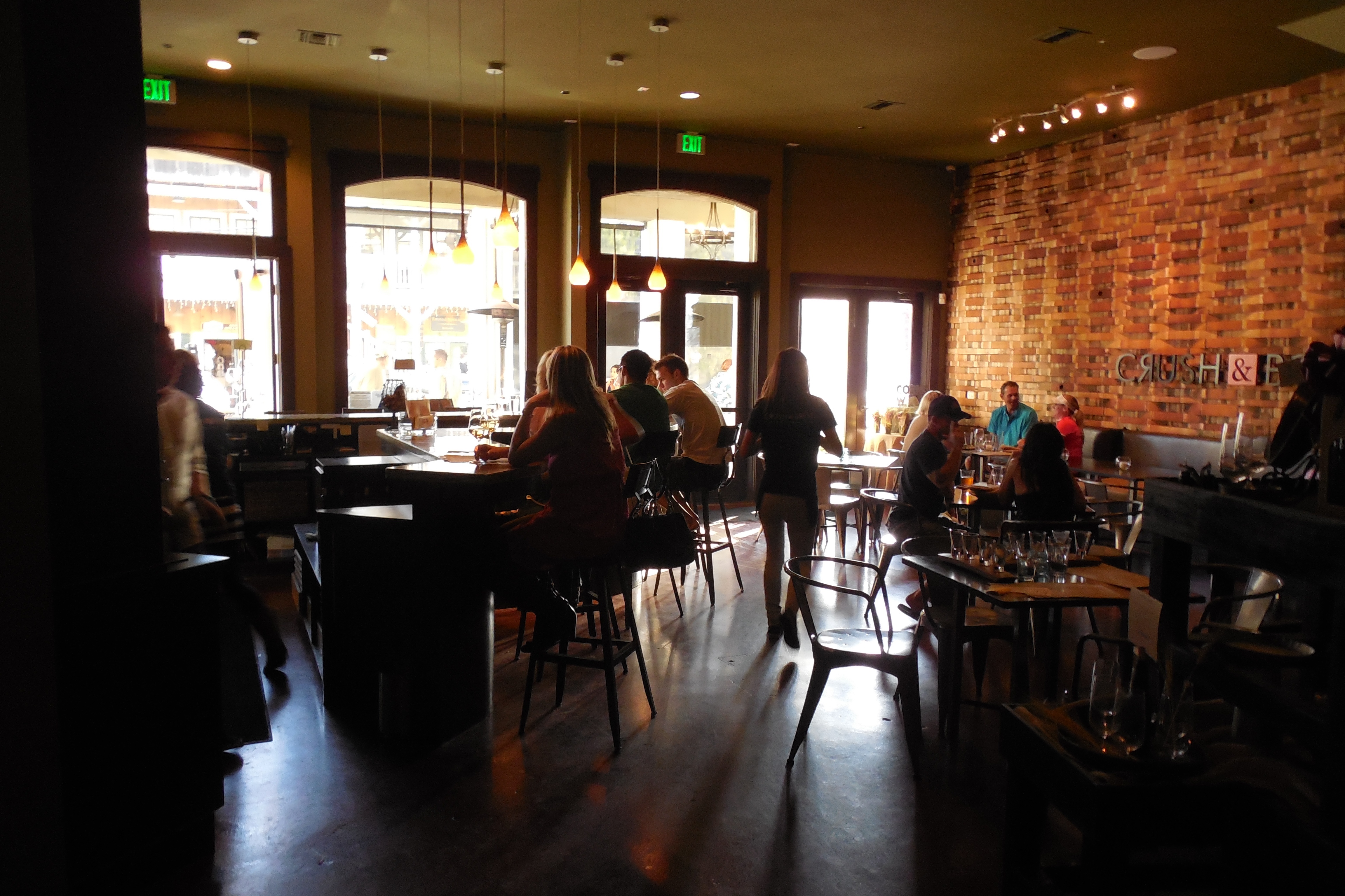
Crush & Brew
Categories: Adventures, CA, Places
Leave a comment
Easy Come, Ez-Go
One of the tasks on our list of Things to Do Before We Head East is selling our Ez-Go golf cart. To do so, we posted “for sale” signs in all of the Rancho California laundry rooms, asking $1,600, which is what we paid. I figured that there would be limited, if any, interest and that we would have to drop the price as the date of departure drew near. Plan B was to sell it back to the people that we bought it from. I estimated that we would get $1,200 from Plan B, tops, so if anyone in the park offered us that much or more I would jump at it.
Well, two days after posting the ad I got an offer for $1,300 and I did, indeed, jump at it. I negotiated a delayed delivery so that I could get in a couple of final rounds of golf. But on May 20 – 10 days ago – we delivered it into the hands of the new owner. I really enjoyed having a golf cart and was sad to see it go. The dogs, however, were devastated. They LOVED the thing. Each evening they would eagerly climb aboard – Grace on the seat, Cha-Cha standing on the floor – and we would head down to the dog park to socialize.
Now, in our final days here, we still visit the dog park, but must walk there. Oh well, easy come, Ez-Go.
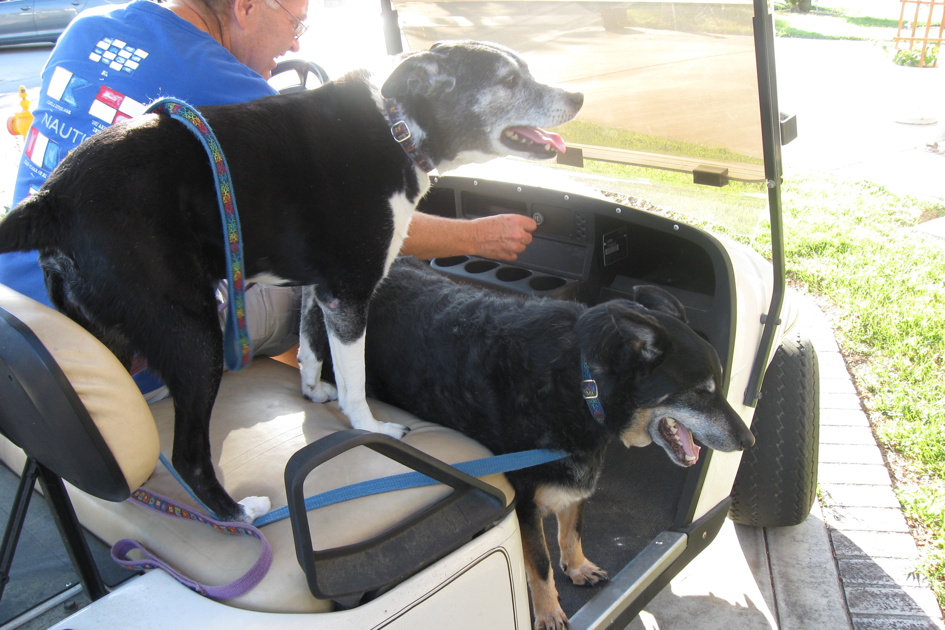
Dogs on board
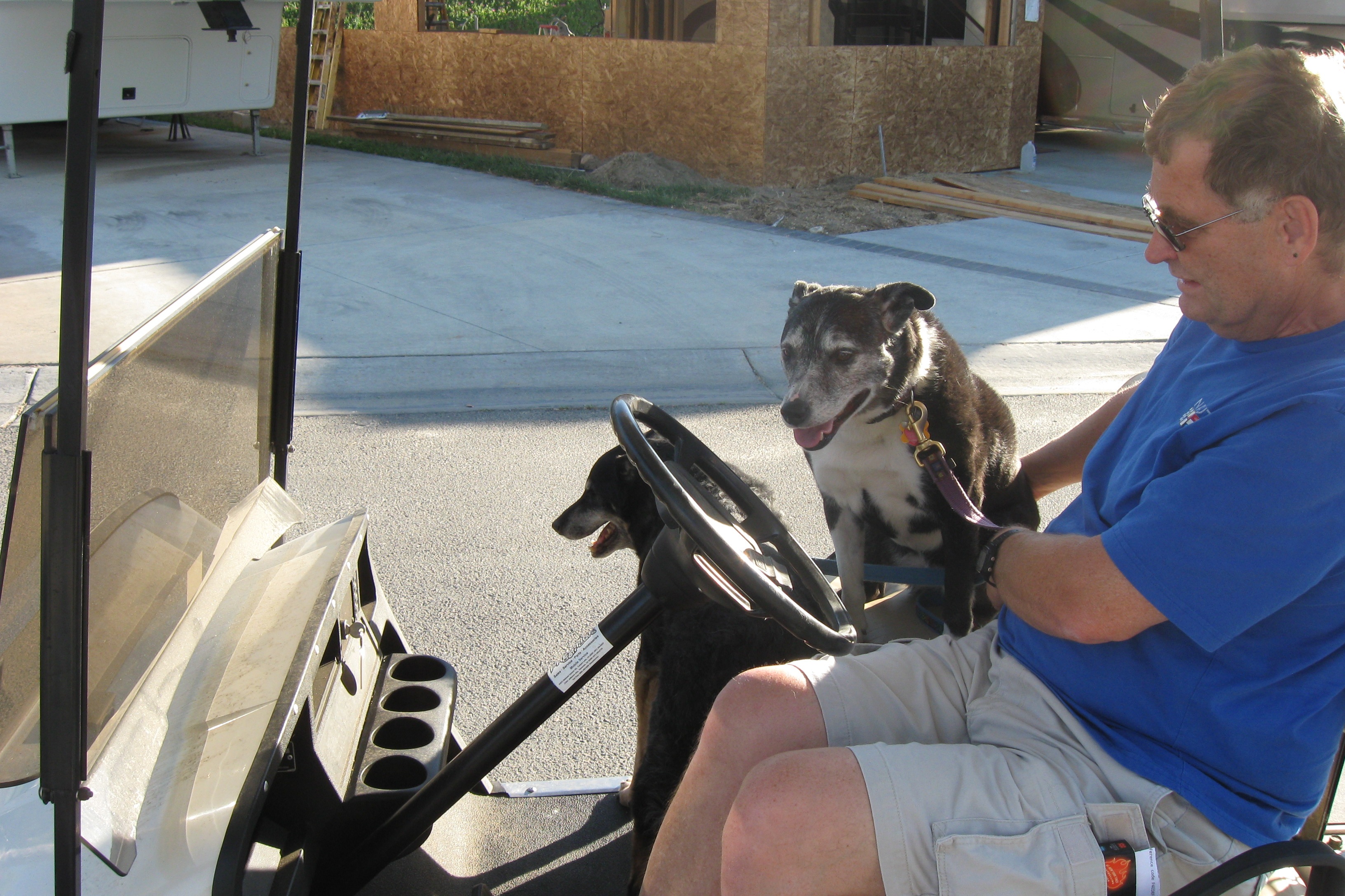
Ready to roll
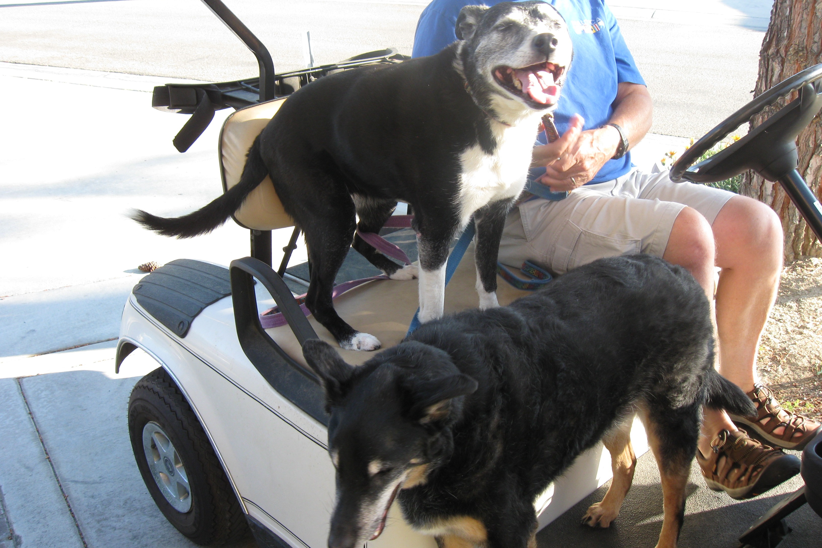
Happy, happy
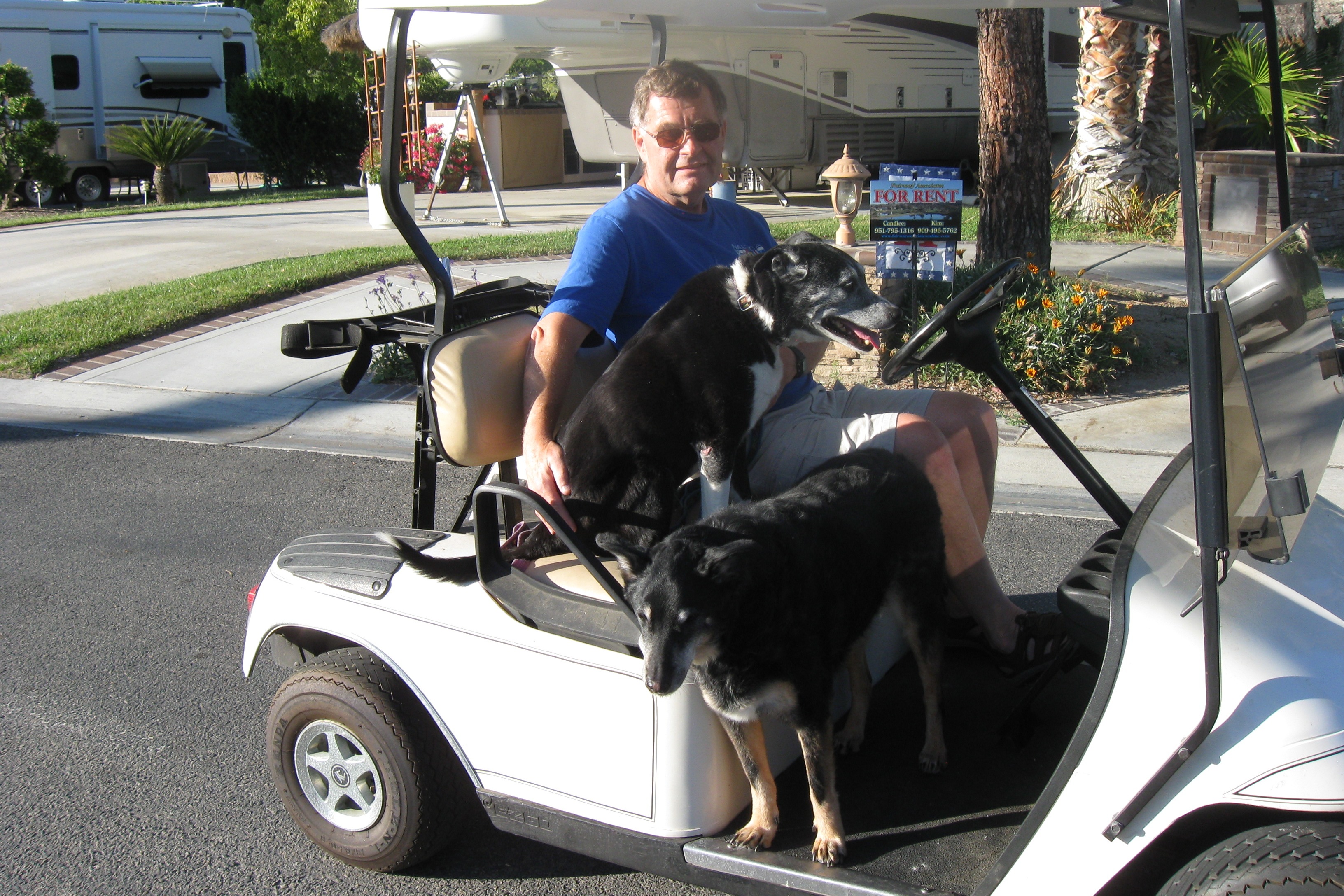
The final ride
Categories: CA, Places, RV Parks
Leave a comment
The Quick Trip East (QTE)
We successfully avoided winter by hunkering down in California. It has been an interesting six months but it is time to think about making the trek back east. Our tenants have decided to not renew their lease, so we need to decide what to do with the house. I need to check in with the office and see how they feel about letting me continue to work remotely. And we need to renew ties with those friends and relatives who weren’t lucky enough to visit us in our sunny lair.
But the trip east is going to look nothing like the trip west. I am not asking for a 3-month leave of absence and in fact am going to keep working while we travel. That means we will travel only on weekends; during the week I need to find a good internet connection and try to be as productive as I would be if I were in my office in Temecula. The strategy I am going to try is this: rent cheap hotel rooms that provide good (and free) internet service. This is possible because in most of the country – unlike Massachusetts – it is possible to rent a room for under $50 per night. In fact I will rent a room just four days in the week, which will give me internet access from noon Monday to noon Friday, more or less. The rest of the time I will rely on my trusty Verizon JetPack – a 4G hotspot. If Verizon cell service is good in the RV park, then I can use that for a few hours. The problem with the JetPack is that it is on a data plan, so I have to be careful how much I use it and what I use it for.
I will also try to book RV parks that have good free WiFi, which gives me a third option. One way or another, I think I can get my job done.
But we can’t dawdle. We need to make it from coast-to-coast as quickly as possible, given that we are towing a 15,000-pound trailer. In my estimation, this means that we are limited to about 300 miles per day. As the trip is nearly 3,600 miles, that means 12 travel days. Six weekends for the QTE (compared to 13 weeks for the GTW). We will leave on June 8 and will arrive in MA on July 14. This is, for a large RV, a quick trip.
Here is the route I have chosen:
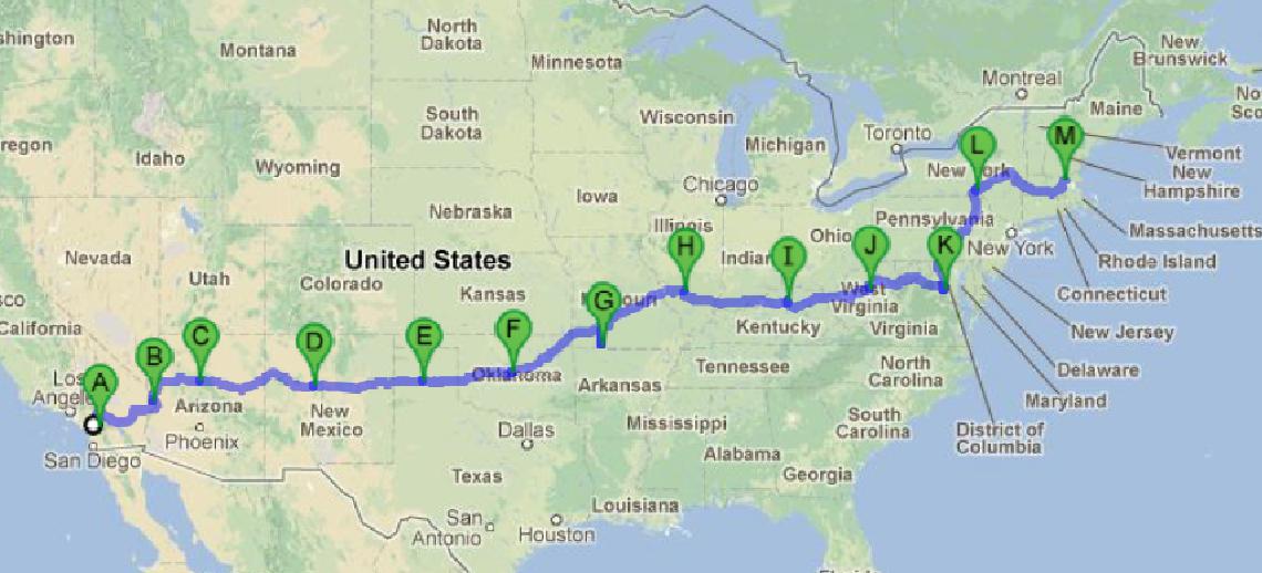
QTE route
The places where we will stop for the week:
- Williams, AZ
- Oklahoma City, OK
- Branson, MO
- Lexington, KY
- Alexandria, VA
I will rent hotel rooms in Oklahoma City, Branson and Lexington. I will work out of Jett’s son’s house in Alexandria. I will try to make do with the JetPack in Williams. Rooms are relatively expensive in Williams, but if the JetPack doesn’t cut it, I will get one.
There won’t be much time for sightseeing on the QTE, so don’t expect as many photos or even frequent posts during the QTE. I will probably be pretty tired most of the time.
But the thought of seeing you all will energize me.
Maybe I will get to play some softball, too.
Categories: QTE, Routes
Leave a comment