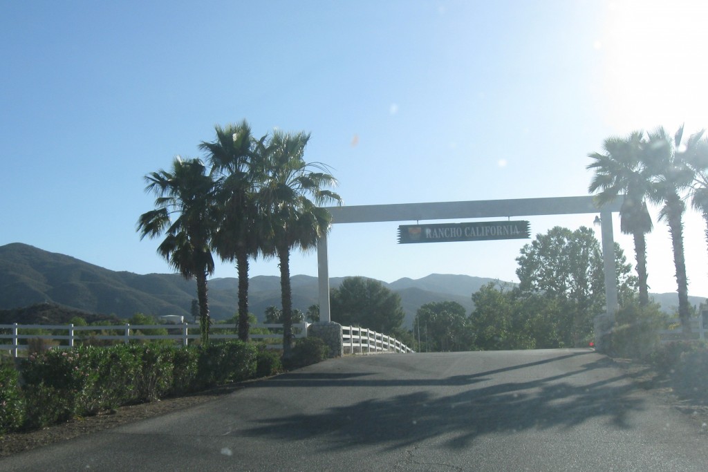
I would have saved this for tomorrow, but that would have been my final commute to Temecula and it is so much more fun to say penultimate.
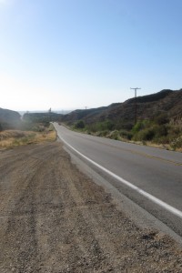
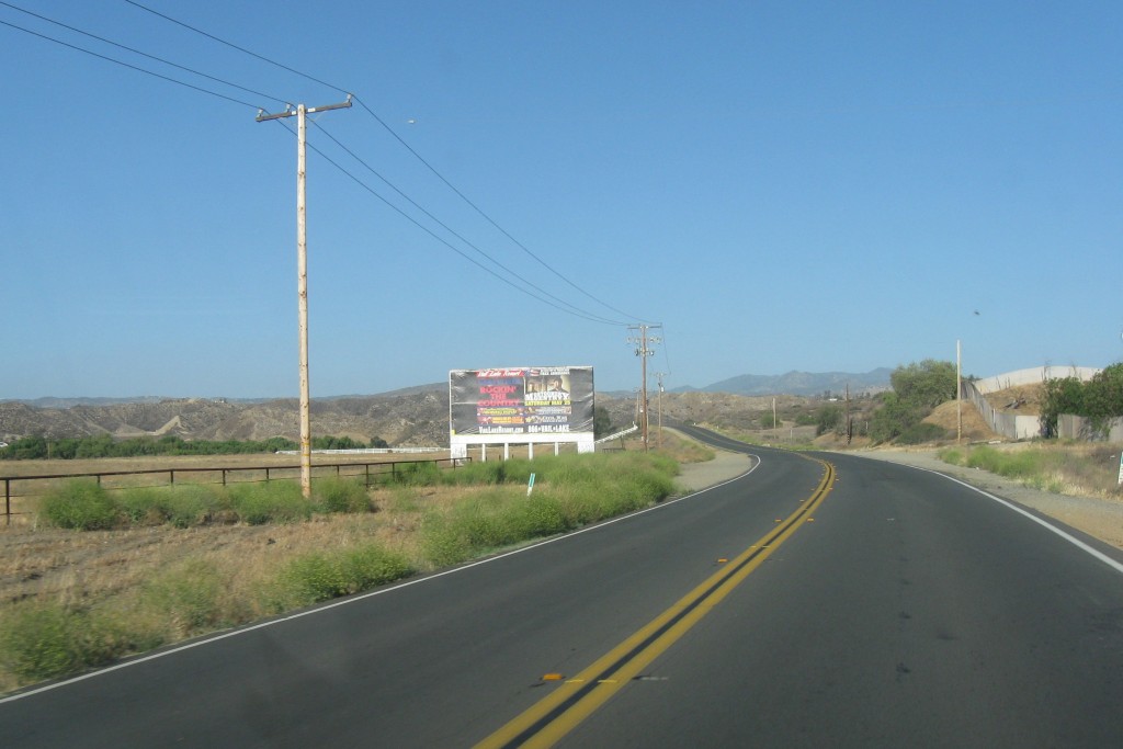
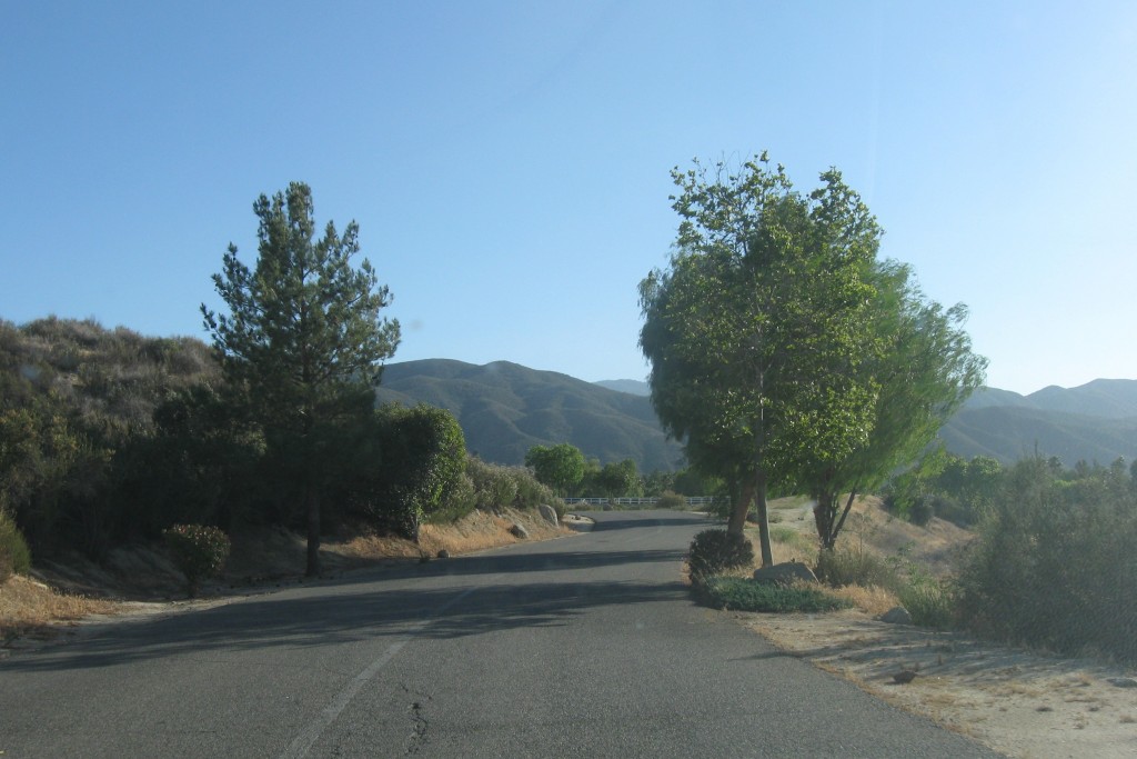
Anyway, I wanted to document, for my memories as much as for anyone else’s edification, the glorious first 15 miles of my commute (or last 15, if I am on my way home). It is a moonscape, with big rocks strewn about like so many granite beads from a celestial string. I have read that the soft soil is actually the bed of the ocean, pushed above sealevel some 5 or 10 million years ago. And the rocks are the magma that was spit from the fissures in the earth’s crust at that time that mostly solidified before landing on that soft sand.
It is unlike anything you will find in Massachusetts.
And there are some points of interest along the way.
So, starting from Temecula and heading sound on CA 79, this is what I have seen every day…
The trip starts with 5 miles of conventional strip development along an 8-lane boulevard which abruptly transforms into a narrow, winding 2-lane country road. There is one stop light about a half-mile out of town where you can take a left to visit the Temecula vineyards. Going straight puts you on a path to Aguanga and other similar dots on the map.
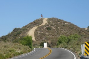
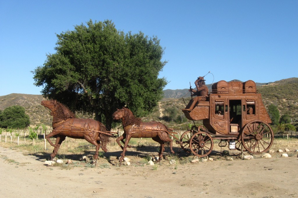
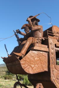
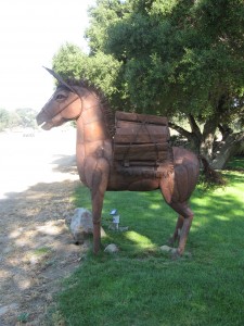
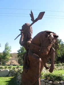
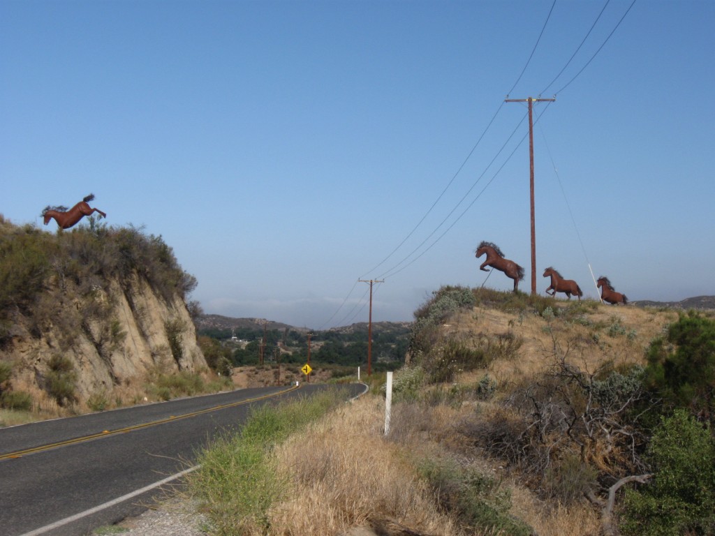
The terrain rises gradually (with a few sharp drops along the way), starting at about 1,000′ in Temecula and ending at about 1,900′ in Aguanga. But the highest point along the way is probably over 2,500′.About 3 miles into the trip you will see a metal stallion atop a hill. This is the work of Ricardo Brededa, a sculptor of some note. A mile later you will find one of his signature pieces, the stagecoach. A snake, an Indian and a burro line the other side of the road. Finally, about a half-mile later, you see Jett’s favorite: four horses leaping the road.
After the horses you drop down into a flat valley, home to the Vail Ranch. This was one of the great ranches of southern California, encompassing almost 90,000 acres in 1900. Now it is smaller and exists primarily as a small community around Vail Lake, an RV park and a venue for major events such as the Mud Run (a race through mud) and the Monster Dash (a Halloween race with costumed runners).
The road rises out of the valley in a sharp S-curve, then drops down to the only “major” intersection – the terminus of county R3, the road to Hemet.
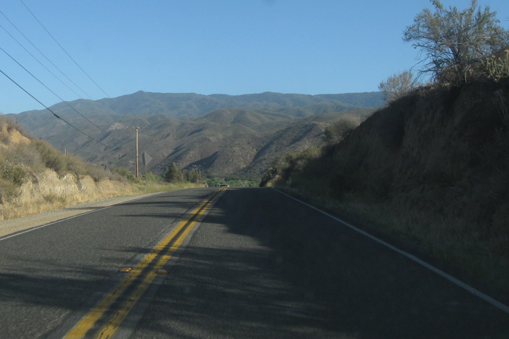
The road rises again, goes through two sharp curves and then drops suddenly into another valley. As you go over the top, Palomar mountain, home to Palomar observatory, one of the world greatest astronomical observatories. The dome that houses the 200-inch Hale telescope is visible on the ridge of the mountains (see that little white spec?) as you drop into the valley.
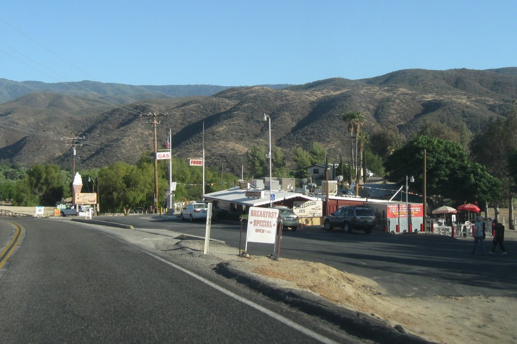
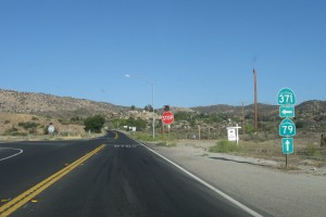
The final four miles consist of the sharp curve at the Stagecoach Inn (where the food is surprisingly good), a flat stretch past the entrance to the Jojoba Hills SKP RV Resort and the Aguanga General Store and post office, to a stop sign and the intersection with CA 371, the road to Palm Desert, Indio and Palm Springs. About a quarter mile past the stop sign is the entrance to Rancho California.
Home. But only for another day.

