

I expected Vicksburg to be a highlight of the TS7 and I was right. It wasn’t what I expected, but it was a really fine Civil War battlefield.
So what was unexpected about the battlefield? Two things: it was more rural (I expected it to be right in Vicksburg but the visitor’s center and driving tour were about 3 miles from town) and it was much larger than I expected (I thought it would be compact, like a wall around a medieval town). As I learned very quickly when I got to the Visitor’s Center, the fortifications defended by the Confederates were over 8 miles long, in a semicircle around the town.
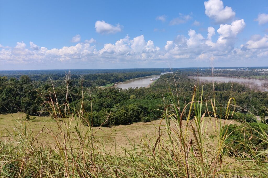
The view that came closest to what I was expecting is the one at the top of this post: the view from the Confederate battery that controlled the Mississippi. This is what made Vicksburg so strategically important. But the view today is considerably different than the view in 1863 as the water seen here is no longer the Mississippi River – it is the Yazoo River. The Mississippi changed course in a flood in 1879 and created a shortcut at the south end of Vicksburg. The Mississippi at Vicksburg is very broad – much broader than the Yazoo.
I started at the Visitor’s Center, looking at the small number of displays and viewing the 20-minute introductory film. Then I got a 20-minute talk by a park ranger where I was an audience of one. So it was more like a chat with someone who actually is knowledgeable about the battle. Then I drove the park, stopping at 12 of the 15 stops along the tour road – the other 3 were in a section of the park that was closed. The driving tour was about 15 miles long and took me about 2 hours to complete.
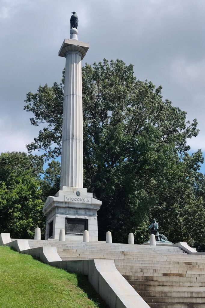
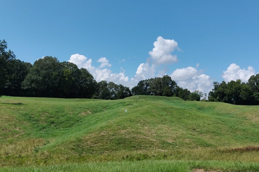
I took quite a few photos, some of the terrain and some of the monuments (there are over 1,500 monuments and markers in the park, including one large monument built by each state that participated in the battle). Because the battle at Vicksburg was a series of unsuccessful attacks on fortified positions, followed by a siege, the Confederate and Union lines were pretty static – unlike those at Gettysburg or Chickamauga. So the driving tour has many markers identifying the two lines of trenches. Yes, the siege of Vicksburg was trench warfare – a precursor of World War I.
A question in my mind, which I think I have now answered, was “why was Vicksburg so impregnable?” The answer: terrain. The Confederates had a series of well-fortified forts (redoubts, redans, lunettes), all on high ground overlooking very deep chasms. An attacking army could be – and was – cut to shreds. What the Union army needed was close air support, but that would not be available for over 50 years. Bad timing.
I have more photos of specific battle events, but I think this is a good sample of my day. I can check Vicksburg off my Civil War battlefield list.